
CARTO
If you're looking for something different than Earth Engine Apps, you might want to check out CARTO. It's a cloud-native location intelligence platform that lets you analyze, visualize and build apps with spatial data. CARTO offers a drag-and-drop interface, more than 100 pre-built analysis components and access to more than 12,000 geospatial datasets. The platform can handle large-scale app development and includes security and authentication features, making it a good option for businesses that want to build business insights and decision-making processes.


EOSDA
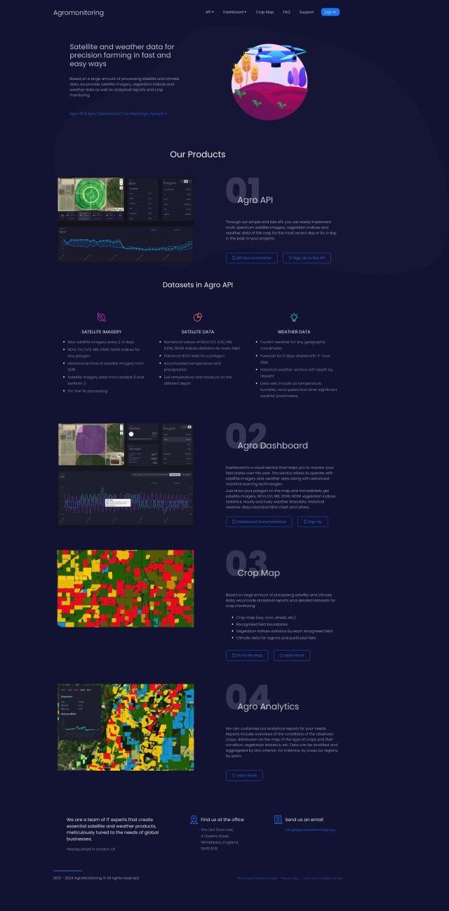
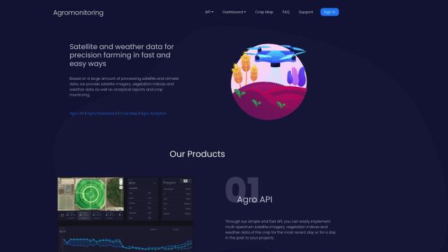
Another interesting option is EOSDA, which uses satellite imagery and machine learning algorithms to offer insights for agriculture, forestry and other sustainable activities. EOSDA offers tools for crop monitoring, yield forecasting, soil moisture analysis and forest monitoring to help businesses increase profitability and decrease waste. Its tools are designed to help businesses make environmentally responsible decisions, and it offers custom pricing for customers.


Nearmap
If you need high-resolution imagery and more sophisticated geospatial tools, Nearmap is a good option. It offers current aerial imagery, 3D modeling, AI predictions and geospatial tools for urban planning, environmental monitoring, infrastructure management and other uses. Nearmap's service is built and owned by the company, which means it can move fast to innovate and deliver high-quality content.


Esri
Last, Esri has a broad range of GIS mapping software and spatial analytics tools. With 3D visualization, location intelligence, GIS mapping and spatial analysis abilities, Esri can help businesses with predictive modeling and real-time decision-making in a variety of industries. Its software can be installed on cloud infrastructure or on-premise, and it offers a 21-day free trial, making it a good option for spatial analytics needs.
