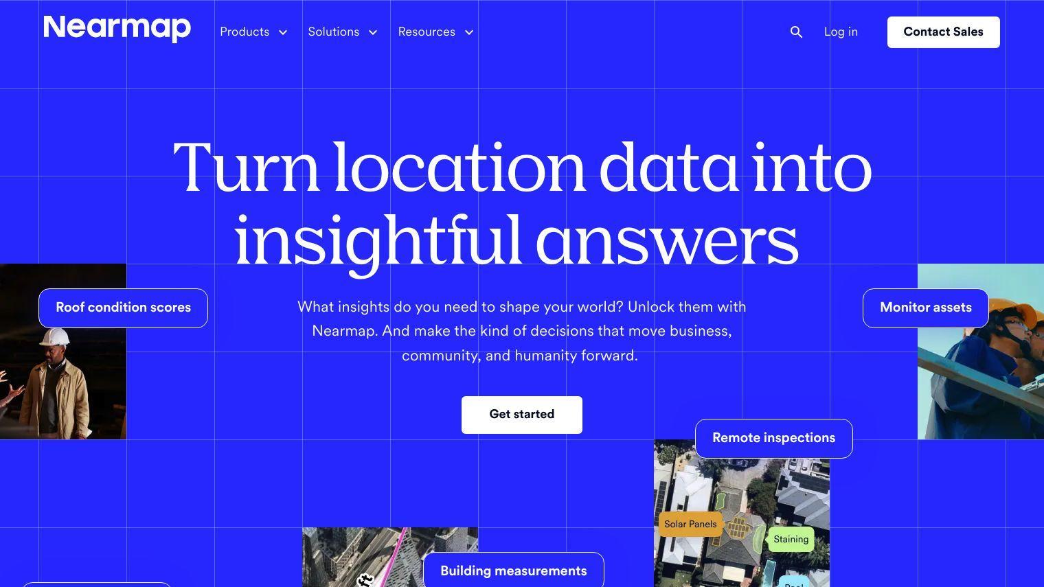
Nearmap delivers location intelligence through high-resolution imagery, 3D modeling, AI predictions and a range of geospatial tools to help solve today's problems by transforming imagery into actionable answers for businesses, communities and governments.
Some of the key features include:
- Aerial Imagery: Proprietary cameras on planes offering up-to-date aerial views from multiple angles with high resolution.
- 3D Modeling: Powerful visualization models that help you understand urban areas.
- AI Predictions: Access to current AI-derived datasets for property attributes such as tree overhang, roof type, materials and surfaces.
- Panoramic & Oblique Imagery: See locations from different angles, measure dimensions and analyze areas in 360°.
- Near-Infrared Imagery: See what's not visible for environmental monitoring and urban planning.
- Post-Catastrophe Imagery: Respond to disasters with timely information on damage.
Nearmap's technology is used in a variety of industries including:
- Insurance: Reduce risk, respond faster and improve customer satisfaction.
- Commercial: Improve processes and operations in property, construction, engineering and more.
- Government: Keep public works on schedule, plan for the future and prepare for natural disasters.
Nearmap's technology is developed and owned by Nearmap, which means Nearmap can continue to innovate and deliver the best content at the fastest speed and highest quality. With a focus on urban planning, environmental impact, infrastructure, emergency response, real estate, insurance, agriculture and land use, Nearmap has the flexibility to meet a wide range of needs.
Published on July 1, 2024
Related Questions
Tool Suggestions
Analyzing Nearmap...


