Question: Can you suggest a platform that offers AI-derived datasets for property attributes, such as tree overhang and roof type?


Nearmap
If you're looking for a platform that offers AI-derived datasets for property attributes like tree overhang and roof type, Nearmap could be a good choice. Nearmap offers high-resolution imagery, 3D modeling and AI-generated datasets for properties. It includes panoramic and oblique imagery for 360-degree analysis, which can be useful for evaluating tree overhang and roof type. The platform is designed to help businesses and governments make more informed decisions, lowering risk and increasing customer satisfaction.
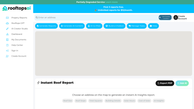
Rooftops AI
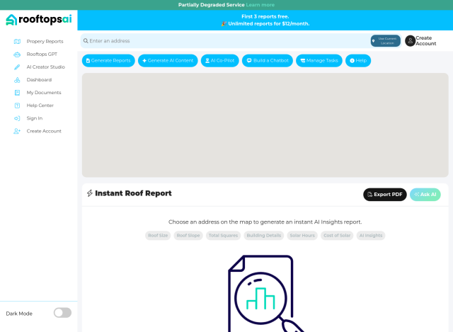
Another option is Rooftops AI, which offers instant reports about properties based on AI analysis. It can offer roof size, slope and solar hours data with an address input. That could be useful if you need detailed property reports fast. Rooftops AI also offers other tools like a ChatGPT-like tool for contractors and a suite of tools for creating social media ads, landing pages and more.


EOSDA
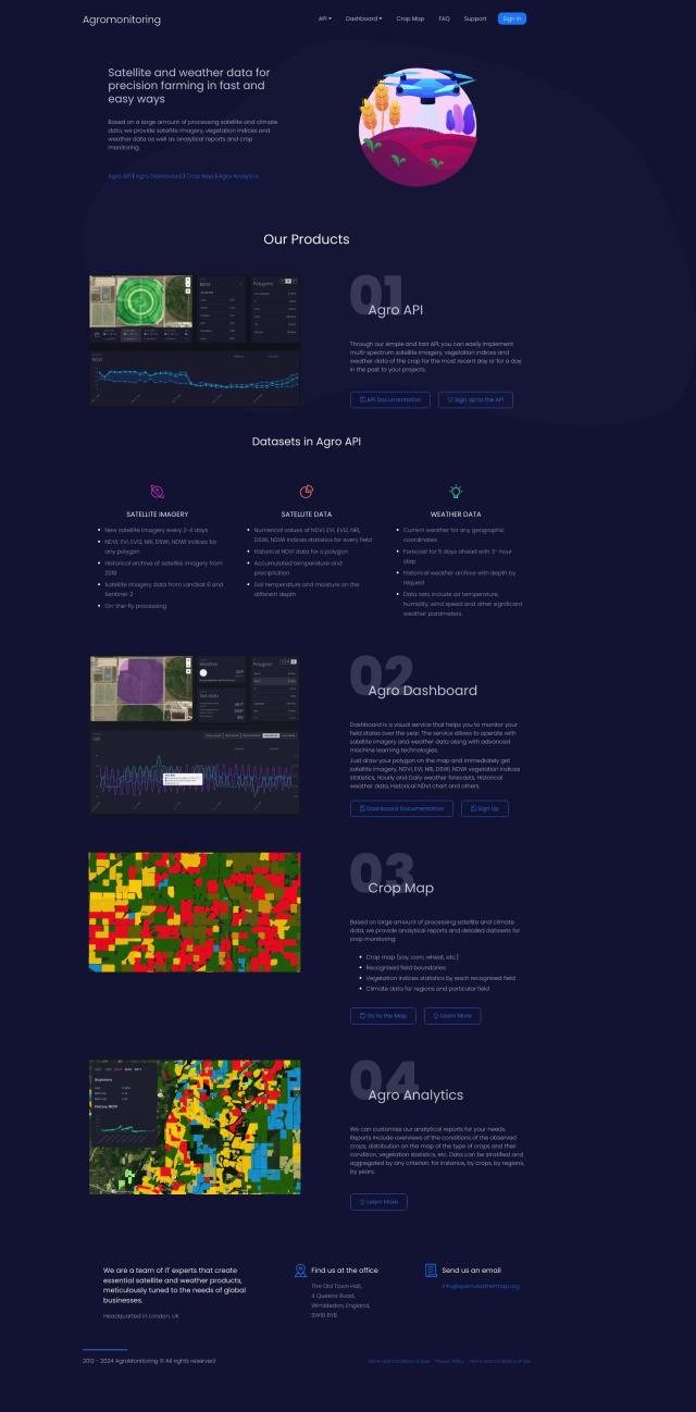
For more geospatial data analysis, EOSDA offers insights gathered from satellite imagery and machine learning. It's geared for agriculture and forestry, but its crop monitoring and forest monitoring tools could be used for other property attributes like roof types and tree growth. EOSDA's precision agriculture and forestry tools are designed to increase profitability and reduce waste, so it's a good option for businesses in those fields.


CARTO
Last, CARTO is a cloud-native location intelligence platform that lets you analyze and visualize spatial data at large scale. It's not specifically geared for property attributes, but its broad set of tools for spatial data analysis and visualization can help you extract useful information from a variety of sources. CARTO supports large-scale app development and offers more than 12,000 geospatial datasets, so it's a good option for businesses that want to tap into spatial analytics.


