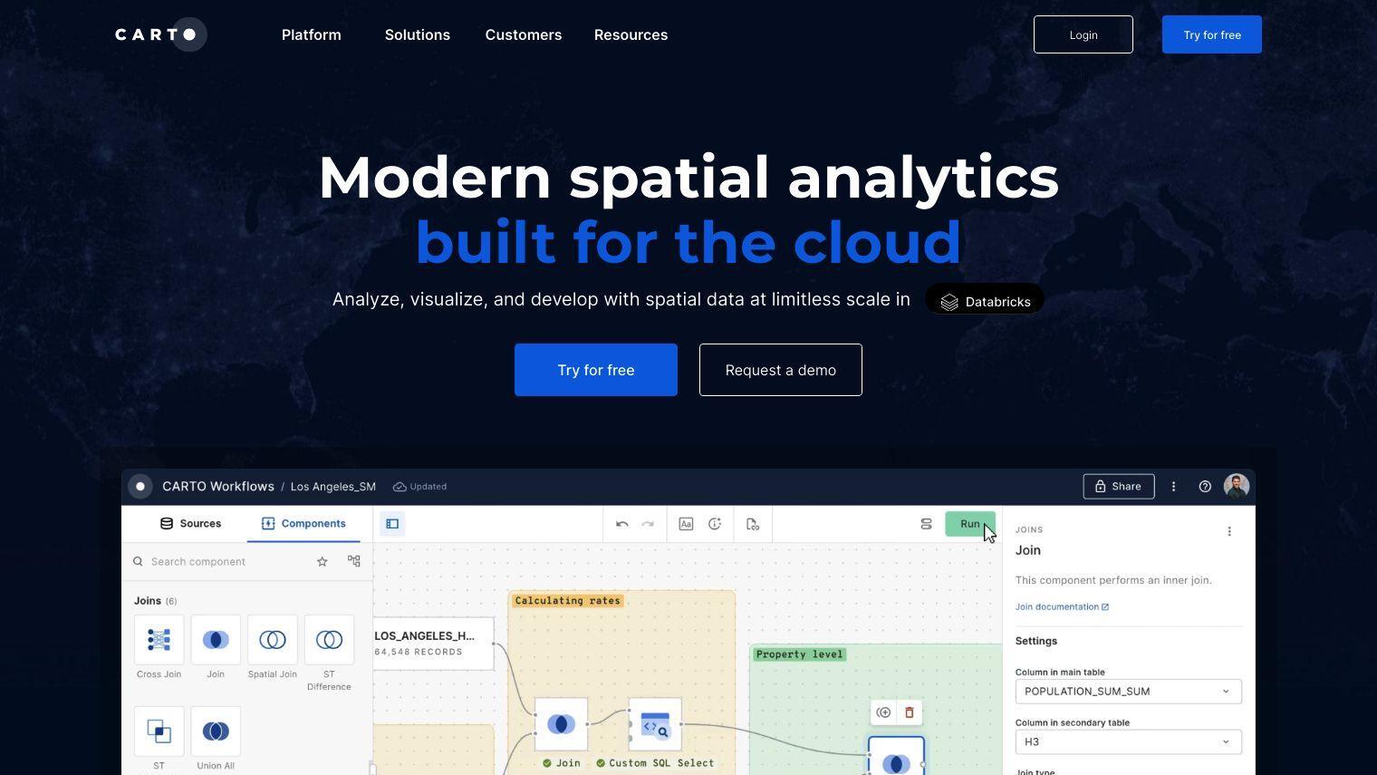
CARTO is a cloud-native location intelligence platform for modern spatial analytics that lets users analyze, visualize and build applications with their spatial data at any scale. By bringing native analysis and visualization to leading cloud platforms like BigQuery, Snowflake, Redshift, Databricks and Azure, CARTO offers speed and agility without the complexity of ETLs or data duplication.
CARTO's features include:
- Intuitive Drag-and-Drop Interface: Create and automate complex data processing and analysis pipelines natively on cloud platforms, accessible to users of all skill levels.
- 100+ Ready-to-Go Analysis Components: A library of drag-and-drop components for data preparation to analysis functions.
- Built-in GenAI Capabilities: Leverage the power of cloud-native Large Language Models (LLMs) and Machine Learning models for increased productivity and faster insights.
- Rich Data Visualization: Create interactive, dynamic map visualizations with no data volume limits, supporting billions of data points.
- Publish and Share Insights: Securely share visualizations and dashboards with stakeholders or embed them into applications.
- Scalable App Development: Build map-centric applications using APIs and development toolkits, reducing development time and cost.
CARTO's platform is cloud-agnostic and supports a wide variety of data sources, so users can easily access and analyze large datasets. The Data Observatory provides access to over 12,000 geospatial datasets, further enriching data capabilities.
From analyzing massive 5G deployment data to developing innovative solutions for the real estate industry, CARTO is used by leading companies such as T-Mobile, JLL and Groupe Renault. The platform is enterprise-ready, with advanced security and authentication features to protect data and ensure secure distribution.
CARTO pricing is based on usage scale. The Small plan accommodates 3 editors and 15 viewers, the Medium plan supports up to 10 editors and 50 viewers. The Premium plan supports unlimited editors and viewers, and larger enterprise customers can contact CARTO for custom pricing. A 14-day free trial is available for new users to try the full range of features and capabilities.
CARTO is great for companies looking to tap into powerful spatial analytics and visualization tools to inform business decisions.
Published on June 23, 2024
Related Questions
Tool Suggestions
Analyzing CARTO...


