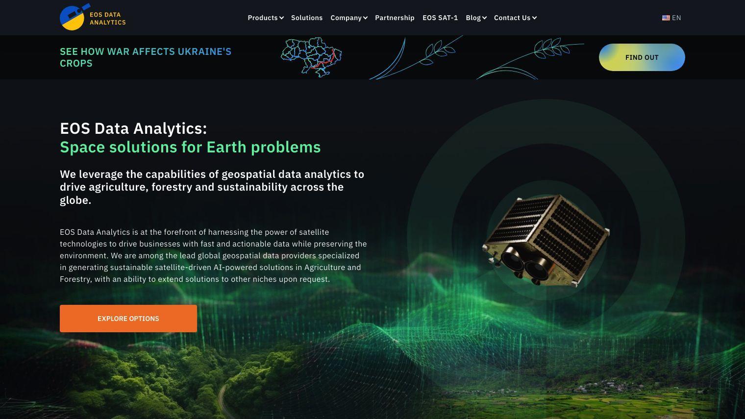
EOSDA is a geospatial data analytics platform that uses satellite data to promote sustainability in agriculture, forestry and other fields. Using a combination of spatial data sources and machine learning algorithms, EOSDA gives businesses the insights they need to make decisions while keeping the planet healthy.
EOSDA's core business is precision agriculture and forestry, with tools to monitor crop health, forecast yields, track field operations and monitor soil moisture. That's all designed to increase profits and reduce waste. The company also offers high-resolution satellite imagery and GIS software for more detailed assessments of the land.
Among EOSDA's features are:
- Crop Monitoring: Monitors crop health and growth with satellite imagery and vegetation index analysis.
- LandViewer: GIS software for storing and processing a variety of satellite imagery, a foundation for real-world business problems.
- Yield Prediction: Uses geospatial data to forecast yields so farmers can better plan and budget.
- Soil Moisture Analytics: Offers remote sensing data to improve farming operations and climate trend analysis.
- Carbon Modelling: Combines models of soil organic carbon with geospatial analysis for more accurate carbon estimates.
- Forest Monitoring: Remotely monitors forest cover, health and burn scars, including reforestation efforts.
Among EOSDA's customers are Complete Farmer, AgroXchange and the Georgian Farmers Association, which have used EOSDA's tools to improve farming and sustainability.
Pricing isn't disclosed, but you can schedule a demo to discuss your needs and get a quote. With satellite data and AI, EOSDA has a set of practical and environmentally focused tools for businesses in the agriculture and forestry industries.
Published on July 3, 2024
Related Questions
Tool Suggestions
Analyzing EOSDA...


