Question: Looking for a tool that uses remote sensing data to analyze soil moisture and improve farming practices, can you suggest one?


EOSDA
If you're looking for a tool that uses remote sensing data to monitor soil moisture and optimize farming, EOSDA is a good choice. The geospatial data analytics platform uses satellite imagery and machine learning algorithms to deliver insights on crop monitoring, yield forecasting, soil moisture monitoring and carbon modeling. EOSDA offers a range of tools, including LandViewer, a GIS software package, and high-resolution satellite imagery for more detailed analysis, so it's a good choice for farmers and agri-food companies looking for a practical and sustainable way to boost profits and cut waste.
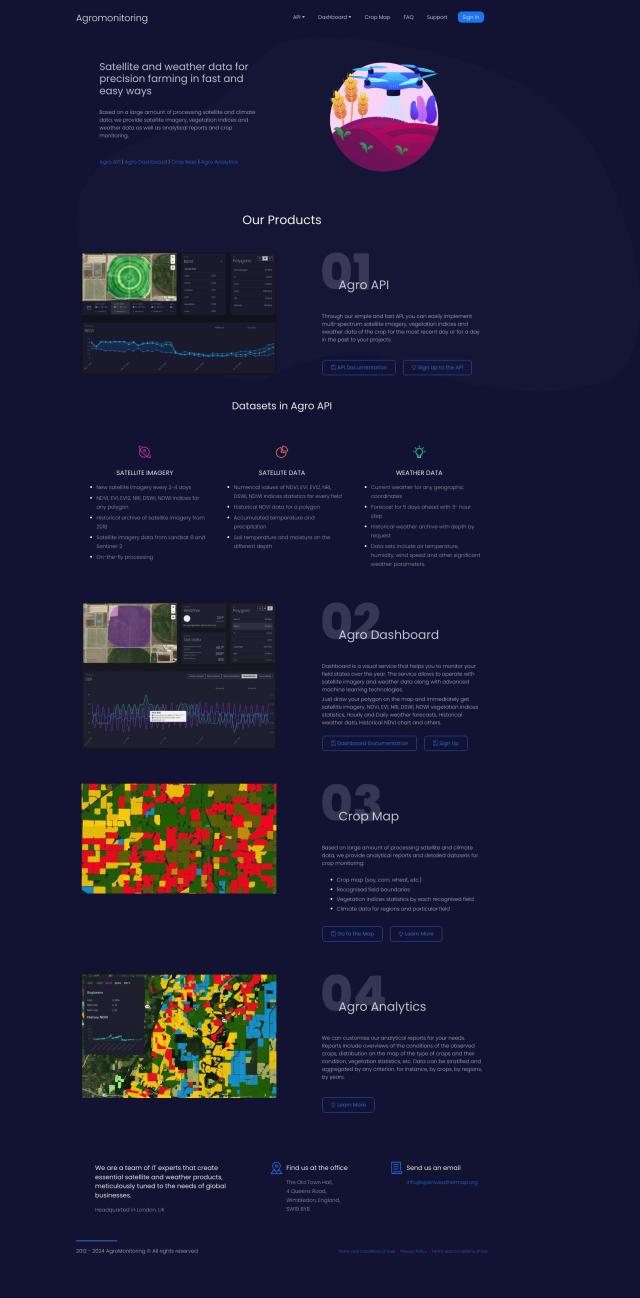
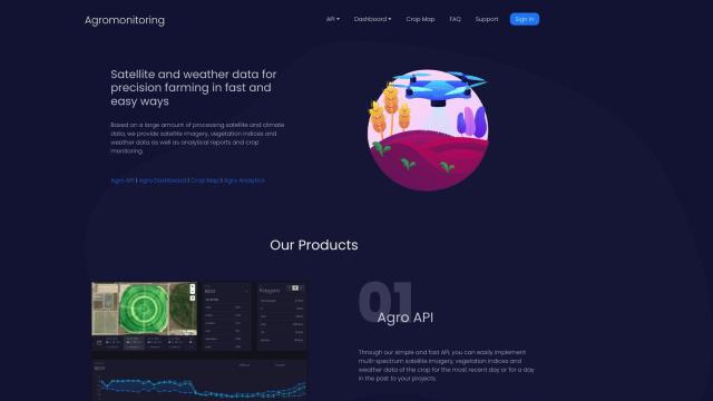
Agromonitoring
Another good option is Agromonitoring, which offers precision farming through satellite and weather data. It includes tools like Agro API, Agro Dashboard, Crop Map and Agro Analytics that offer detailed crop condition monitoring and soil data like temperature and moisture. The company's satellite imagery is updated frequently, and it offers a range of vegetation indices, weather data and historical archives, too, so it's a good option for farmers and agri-food companies.

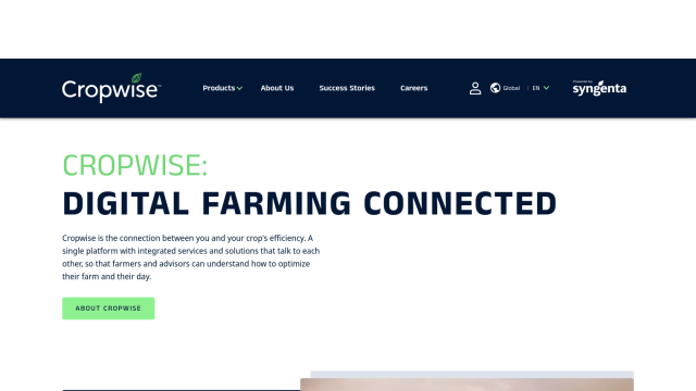
Cropwise
If you want something more integrated, Cropwise offers a collection of apps designed to optimize farm operations and improve crop performance. That includes tools like Operations for real-time field monitoring, Imagery for crop health monitoring, and Sustainability for measuring sustainability performance. The apps can help farmers make data-driven decisions and avoid rework, so it's a good option for proactive decision-making in the ag industry.

