Question: I need a platform that uses satellite data to monitor crop health and predict yields for sustainable agriculture practices.

EOSDA screenshot thumbnail

EOSDA

If you're looking for a platform that uses satellite data to monitor crop health and predict yields for sustainable agriculture practices, EOSDA could be a great option. This geospatial data analytics platform uses satellite imagery and machine learning algorithms to give insights for decision-making in agriculture. It provides tools like crop monitoring, yield forecasting, soil moisture analysis and carbon modeling. EOSDA also works with clients like Complete Farmer and the Georgian Farmers Association, with custom pricing arrangements.
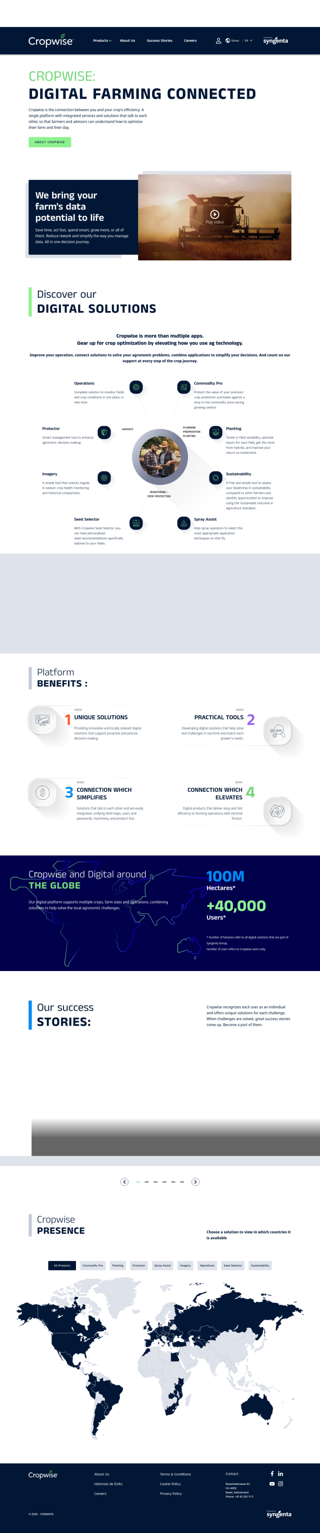
Cropwise screenshot thumbnail

Cropwise

Another good option is Cropwise, a digital platform that combines a range of services to help optimize farm operations and improve crop performance. It includes apps for real-time field monitoring, crop health monitoring and personalized seed recommendations. Cropwise has helped farmers around the world cut rework, increase yields and improve sustainability performance, so it's a good option for data-driven decision making in agriculture.
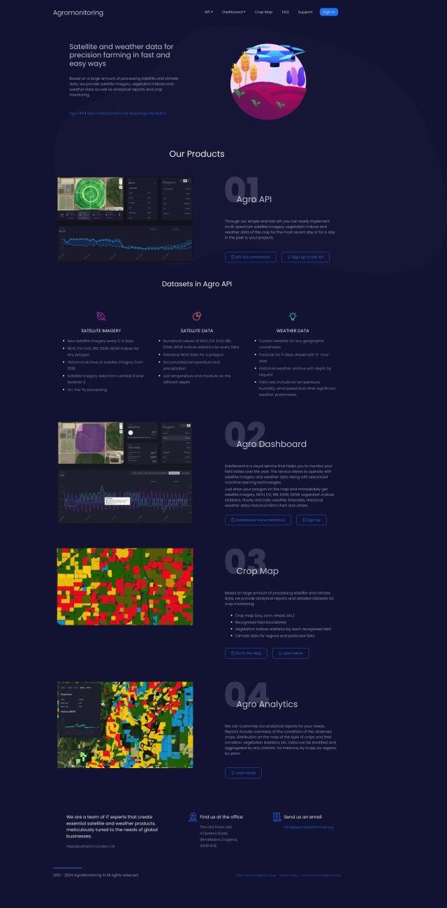
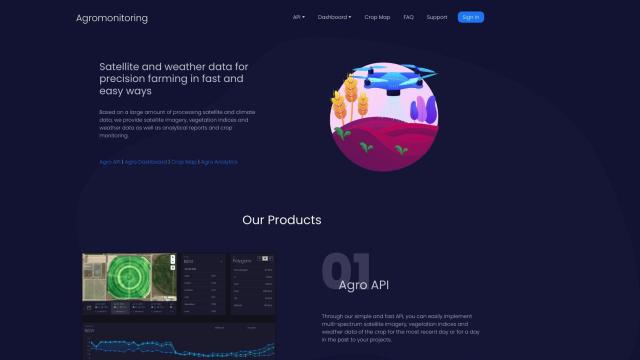
Agromonitoring screenshot thumbnail

Agromonitoring

Agromonitoring offers a full precision farming service based on satellite and weather data. It includes products like Agro API for data integration into projects, Agro Dashboard for field monitoring and Agro Analytics for detailed crop condition analysis. The service offers current satellite imagery updates and historical archives, so it's good for farmers and agricultural companies that need crop management data.

Nearmap screenshot thumbnail

Nearmap

If you're looking for something more general purpose, Nearmap offers a location intelligence platform with high-resolution imagery, 3D modeling and AI predictions. It's geared for urban planning and environmental monitoring, but Nearmap's near-infrared imagery can be used for crop health monitoring and yield prediction. It's designed to help businesses and governments make better decisions.

Additional AI Projects

Hexagon screenshot thumbnail

Hexagon

Combines sensor, software, and autonomous technologies to increase efficiency, reduce waste, and improve sustainability across industries through data-driven digital reality solutions.

Esri screenshot thumbnail

Esri

Uncover hidden patterns and drive predictive modeling with spatial analytics and machine learning, combining location-based data for innovative insights.

ePlant screenshot thumbnail

ePlant

Remotely monitor tree health and environmental conditions with long-range wireless sensors, tracking growth, stress, and weather patterns for data-driven decisions.

DroneDeploy screenshot thumbnail

DroneDeploy

Combines data from multiple sources, including drones and cameras, into one platform, automating capture and extracting insights with AI for informed decision-making.

CARTO screenshot thumbnail

CARTO

Analyze and visualize spatial data at any scale with native cloud integration, intuitive drag-and-drop interface, and built-in GenAI capabilities.

Tomorrow.io screenshot thumbnail

Tomorrow.io

Combines global spacecraft data, AI/ML models, and advanced forecasting to provide hyper-accurate weather information for any location, enabling proactive decision-making and resilience.

Atmo screenshot thumbnail

Atmo

Produces high-resolution, real-time weather forecasts with up to 50% greater accuracy and 40,000 times faster processing than traditional models.

Mapbox screenshot thumbnail

Mapbox

Create customizable, interactive maps with live-updating data and advanced navigation features for web, mobile, automotive, and AR applications.

Geotab screenshot thumbnail

Geotab

Leverage AI-driven insights and recommendations to optimize fleet operations, improve safety, and reduce emissions, while automating compliance and increasing productivity.

Spatial.ai screenshot thumbnail

Spatial.ai

Unlock deeper customer insights with behavioral segmentation tools, profiling social, mobile, and web behavior to inform targeted marketing and location strategies.

DataRobot AI Platform screenshot thumbnail

DataRobot AI Platform

Centralize and govern AI workflows, deploy at scale, and maximize business value with enterprise monitoring and control.

Dataloop screenshot thumbnail

Dataloop

Unify data, models, and workflows in one environment, automating pipelines and incorporating human feedback to accelerate AI application development and improve quality.

Opendatasoft screenshot thumbnail

Opendatasoft

Centralize and share data assets in a simple, secure, and interactive way, making data easily consumable at scale with AI-driven user experiences.

AI Clearing screenshot thumbnail

AI Clearing

Generates 3D site reports with 100% site coverage, providing accurate and efficient progress monitoring, reducing re-work costs and litigation risks.

Encord screenshot thumbnail

Encord

Streamline computer vision development with automated labeling, data management, and model testing tools to build more accurate models faster.

LandingLens screenshot thumbnail

LandingLens

Unlock insights from unlabeled images, achieve accurate results, and deploy computer vision models flexibly and scalably across industries.

Electricity Maps screenshot thumbnail

Electricity Maps

Access real-time, historical, and forecasted carbon intensity data for 230+ regions to inform energy decisions and reduce carbon footprint.

GoodData screenshot thumbnail

GoodData

Quickly build custom data products with interactive analytics abilities, leveraging AI-powered features like a no-code interface and chat assistant for effortless insights.

Scale screenshot thumbnail

Scale

Provides high-quality, cost-effective training data for AI models, improving performance and reliability across various industries and applications.

LSEG Data & Analytics screenshot thumbnail

LSEG Data & Analytics

Empowers financial decision-making with global market data, AI-powered analytics, and collaborative workflow solutions, providing comprehensive insights and interoperability.