Question: I need a solution that provides up-to-date aerial views of urban areas for urban planning and development.

Nearmap screenshot thumbnail

Nearmap

If you need a current view of urban areas for urban planning and development, Nearmap is a good option. It offers high-resolution imagery, 3D modeling and AI predictions to help businesses, communities and governments make better decisions. The service includes proprietary aerial imagery with current views from multiple angles, panoramic imaging for 360-degree analysis, and near-infrared imagery for environmental monitoring, so it's well-suited for urban planning and infrastructure projects.

Esri screenshot thumbnail

Esri

Another option is Esri, which offers GIS mapping software and spatial analytics. Its platform includes 3D visualization, location intelligence, GIS mapping and spatial analysis that can be used for real-time decision-making and predictive modeling in urban planning. Esri also serves a broad range of industries and use cases, including infrastructure planning and climate action.
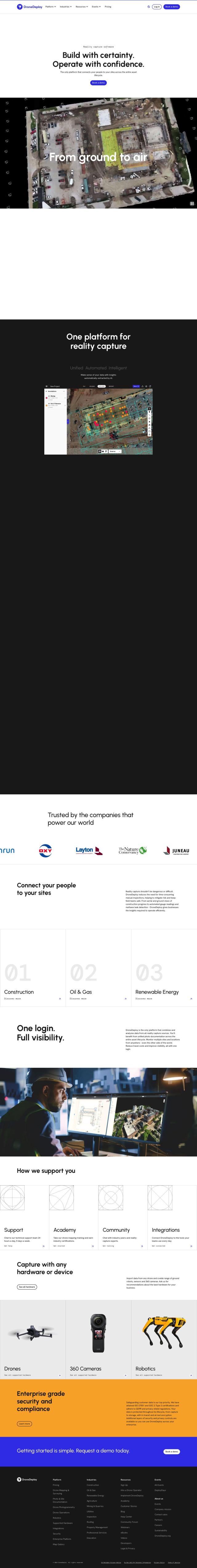
DroneDeploy screenshot thumbnail

DroneDeploy

DroneDeploy is also an option, in particular if you're looking for drone-based solutions for reality capture. It offers full drone mapping and photo documentation that can be used to track progress, identify problems and optimize urban development projects. The platform is enterprise-grade, so it's got strong security and compliance for sensitive urban planning data.

Additional AI Projects

Matterport screenshot thumbnail

Matterport

Capture and collaborate on 3D digital twins of real-world sites, leveraging AI-driven analytics and immersive virtual experiences for improved project outcomes.

CARTO screenshot thumbnail

CARTO

Analyze and visualize spatial data at any scale with native cloud integration, intuitive drag-and-drop interface, and built-in GenAI capabilities.

Hexagon screenshot thumbnail

Hexagon

Combines sensor, software, and autonomous technologies to increase efficiency, reduce waste, and improve sustainability across industries through data-driven digital reality solutions.

RealityCapture screenshot thumbnail

RealityCapture

Automatically generates photorealistic 3D assets and environments from photos and/or laser scans, creating textured 3D meshes and orthographic projections.

AI Clearing screenshot thumbnail

AI Clearing

Generates 3D site reports with 100% site coverage, providing accurate and efficient progress monitoring, reducing re-work costs and litigation risks.

Mapbox screenshot thumbnail

Mapbox

Create customizable, interactive maps with live-updating data and advanced navigation features for web, mobile, automotive, and AR applications.

INRIX screenshot thumbnail

INRIX

Harnesses 50 petabytes of transportation data to provide real-time traffic insights, crash alerts, and parking analytics, optimizing urban mobility and road safety.

MapmyIndia screenshot thumbnail

MapmyIndia

Seamlessly navigate and optimize last-mile operations with integrated navigation, route planning, and location intelligence solutions powered by India's best maps.

EOSDA screenshot thumbnail

EOSDA

Utilizes satellite data and machine learning to provide actionable insights for sustainable agriculture and forestry, enabling data-driven decision making and reduced waste.

Polycam screenshot thumbnail

Polycam

Capture and create accurate 3D models with LiDAR scanning, photogrammetry, and 360-degree photos, and share them across platforms with ease.

Spatial.ai screenshot thumbnail

Spatial.ai

Unlock deeper customer insights with behavioral segmentation tools, profiling social, mobile, and web behavior to inform targeted marketing and location strategies.

Unearth Insights screenshot thumbnail

Unearth Insights

Access a unified suite of location data and analytics tools, powered by an AI co-pilot, to uncover insights and drive business decisions faster.

Rapid Editor screenshot thumbnail

Rapid Editor

Automates map creation and updates using machine learning and satellite imagery, reducing manual effort and increasing accuracy.

Radar screenshot thumbnail

Radar

Radar combines geofencing, geocoding, and mapping for accurate, cost-effective location-based experiences.

3DFY.ai screenshot thumbnail

3DFY.ai

Generate high-quality 3D models from text prompts or single images, rapidly creating engaging 3D assets at scale with unprecedented efficiency.

MRI Software screenshot thumbnail

MRI Software

Comprehensive platform for commercial and residential property management, offering flexible tools and services for streamlined operations and improved resident satisfaction.

Scale screenshot thumbnail

Scale

Provides high-quality, cost-effective training data for AI models, improving performance and reliability across various industries and applications.

Visoid screenshot thumbnail

Visoid

Creates high-quality 3D images in minutes, allowing architects to experiment with different materials, lighting, and seasons in a single, intuitive tool.

Geotab screenshot thumbnail

Geotab

Leverage AI-driven insights and recommendations to optimize fleet operations, improve safety, and reduce emissions, while automating compliance and increasing productivity.

NETVIBES screenshot thumbnail

NETVIBES

Turns data into actionable knowledge, fueling innovation and competitiveness through AI-assisted virtual twin experiences and collective knowledge-driven decision-making.

NewArc.ai screenshot thumbnail

NewArc.ai

Turn sketches into photorealistic images and 3D renderings in seconds, generating unlimited design ideas with style control and no technical expertise required.