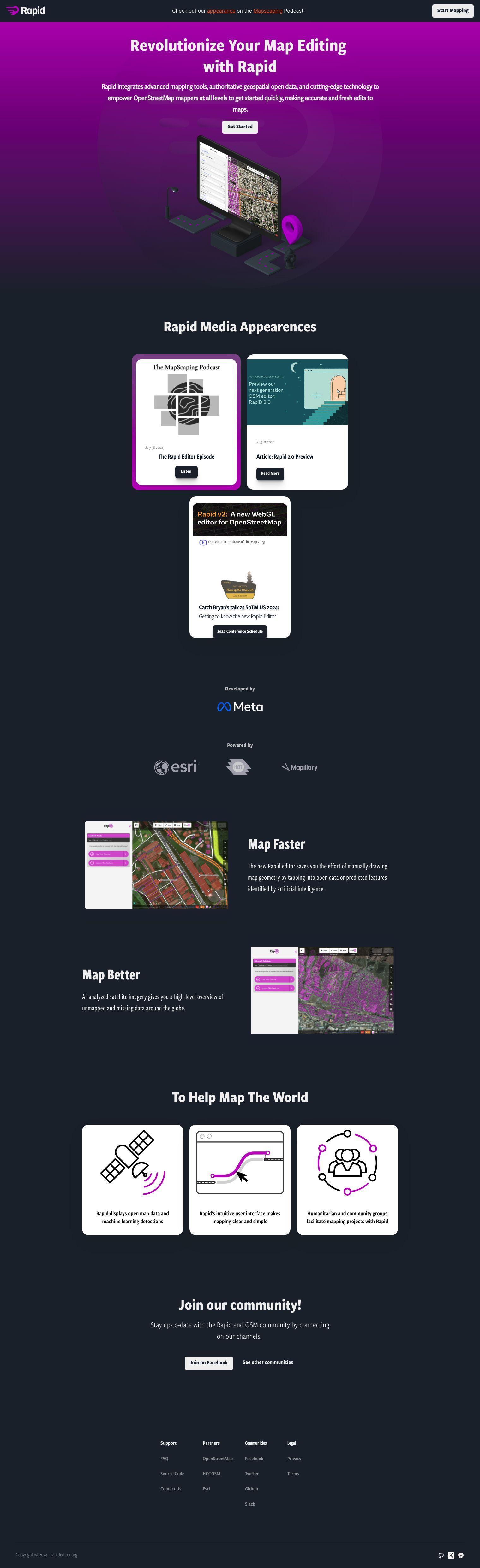
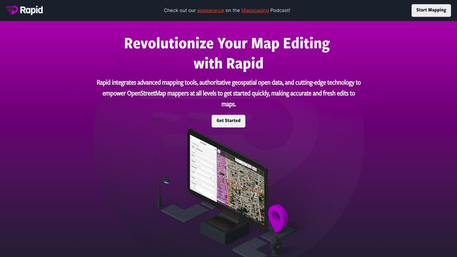
Rapid Editor combines advanced mapping tools, open geospatial data and AI technology to help OpenStreetMap mappers edit maps more accurately and efficiently. The tool uses machine learning and satellite imagery to automate the creation and update of maps.
Some of the features of Rapid Editor include:
- Automated Geometry Drawing: Uses open data or AI-predicted features to reduce manual geometry drawing.
- AI-Analyzed Imagery: Offers a global view of unmapped and missing data.
- Intuitive Interface: Makes mapping easy and intuitive for users.
Rapid Editor is designed to help humanitarian and community groups with their mapping efforts. Users can view open map data and machine learning detections to easily pinpoint areas for improvement.
Rapid Editor is designed to be easy to use so that mappers of all skill levels can quickly and accurately edit maps. By tapping into the power of AI and open data, the tool enables mappers to map faster and more effectively.
To learn more about Rapid Editor and stay up to date with the latest news, you can visit their website and follow the community on social media channels like Facebook.
Published on June 12, 2024
Related Questions
Tool Suggestions
Analyzing Rapid Editor...