Question: Is there a software that can process LiDAR data and create georeferenced orthomosaics?
Agisoft Metashape screenshot thumbnail

Agisoft Metashape

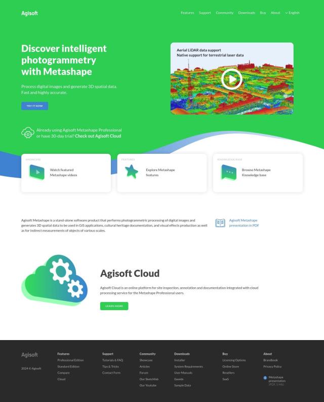
For processing LiDAR data and generating georeferenced orthomosaics, Agisoft Metashape is a good option. It has more-advanced features like auto-calibration, dense point cloud generation, 3D modeling and georeferenced orthomosaics. The Professional Edition adds other features like digital elevation model generation and stereoscopic measurements, and it's a good choice for a variety of uses including GIS, cultural heritage and visual effects.
PIX4D screenshot thumbnail

PIX4D

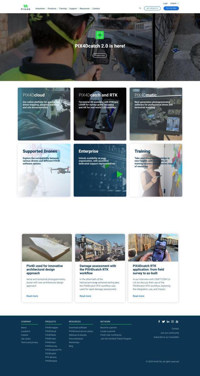
Another good option is PIX4D. It's a photogrammetry software suite that's well-suited for drone mapping and that can generate detailed maps and 3D models. It has flexible processing options between desktop and cloud, and collaboration tools, too, so it's good for surveying, architecture and engineering.

DroneDeploy screenshot thumbnail

DroneDeploy

If you need a tool that combines drone mapping with other sources of data, DroneDeploy is worth a look. It automates capture and can provide more-advanced insights through AI-powered data extraction. The company's software is used by many construction, oil and gas and renewable energy customers to monitor progress and spot problems.

Esri screenshot thumbnail

Esri

For a full-featured GIS mapping and spatial analytics tool, Esri has a lot to offer. It's got 3D visualization, location intelligence and spatial analysis tools that can be useful for everything from infrastructure planning to asset management to climate action.

Additional AI Projects

Nearmap screenshot thumbnail

Nearmap

Transforms high-resolution aerial imagery into actionable insights with AI predictions, 3D modeling, and geospatial tools for informed business decisions.
RealityCapture screenshot thumbnail

RealityCapture

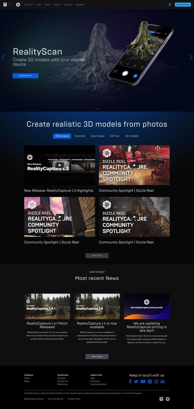
Automatically generates photorealistic 3D assets and environments from photos and/or laser scans, creating textured 3D meshes and orthographic projections.

Hexagon screenshot thumbnail

Hexagon

Combines sensor, software, and autonomous technologies to increase efficiency, reduce waste, and improve sustainability across industries through data-driven digital reality solutions.

Matterport screenshot thumbnail

Matterport

Capture and collaborate on 3D digital twins of real-world sites, leveraging AI-driven analytics and immersive virtual experiences for improved project outcomes.

EOSDA screenshot thumbnail

EOSDA

Utilizes satellite data and machine learning to provide actionable insights for sustainable agriculture and forestry, enabling data-driven decision making and reduced waste.

Polycam screenshot thumbnail

Polycam

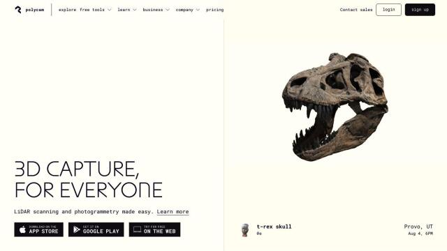
Capture and create accurate 3D models with LiDAR scanning, photogrammetry, and 360-degree photos, and share them across platforms with ease.

CARTO screenshot thumbnail

CARTO

Analyze and visualize spatial data at any scale with native cloud integration, intuitive drag-and-drop interface, and built-in GenAI capabilities.

AI Clearing screenshot thumbnail

AI Clearing

Generates 3D site reports with 100% site coverage, providing accurate and efficient progress monitoring, reducing re-work costs and litigation risks.

Mapbox screenshot thumbnail

Mapbox

Create customizable, interactive maps with live-updating data and advanced navigation features for web, mobile, automotive, and AR applications.

Rapid Editor screenshot thumbnail

Rapid Editor

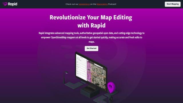
Automates map creation and updates using machine learning and satellite imagery, reducing manual effort and increasing accuracy.

Unearth Insights screenshot thumbnail

Unearth Insights

Access a unified suite of location data and analytics tools, powered by an AI co-pilot, to uncover insights and drive business decisions faster.

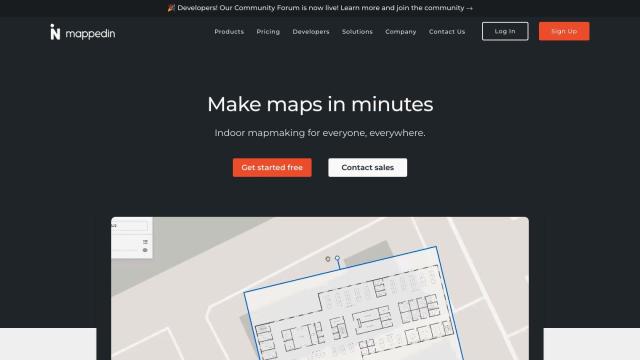
Mappedin screenshot thumbnail

Mappedin

Create interactive 3D indoor maps with AI-assisted tools, automated navigation, and content enrichment, and share them across various devices and formats.

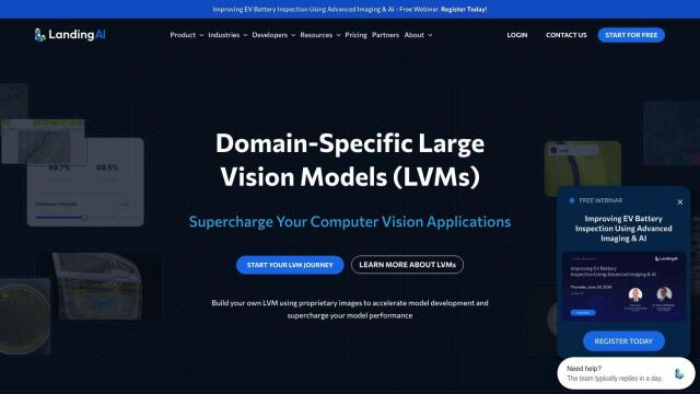
LandingLens screenshot thumbnail

LandingLens

Unlock insights from unlabeled images, achieve accurate results, and deploy computer vision models flexibly and scalably across industries.

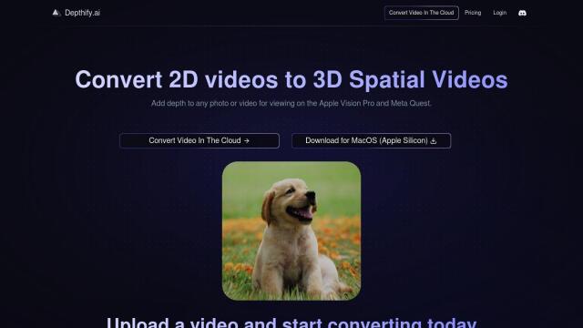
Depthify.ai screenshot thumbnail

Depthify.ai

Convert 2D photos and videos into 3D spatial content with AI-powered depth, stereo, and spatial encoding for immersive experiences on Apple Vision Pro and Meta Quest.

Loqate screenshot thumbnail

Loqate

Enhance address data quality and user experience with fast and accurate capture, verification, and geocoding technology for 249 countries and territories.

Spatial.ai screenshot thumbnail

Spatial.ai

Unlock deeper customer insights with behavioral segmentation tools, profiling social, mobile, and web behavior to inform targeted marketing and location strategies.

Encord screenshot thumbnail

Encord

Streamline computer vision development with automated labeling, data management, and model testing tools to build more accurate models faster.

Dataloop screenshot thumbnail

Dataloop

Unify data, models, and workflows in one environment, automating pipelines and incorporating human feedback to accelerate AI application development and improve quality.

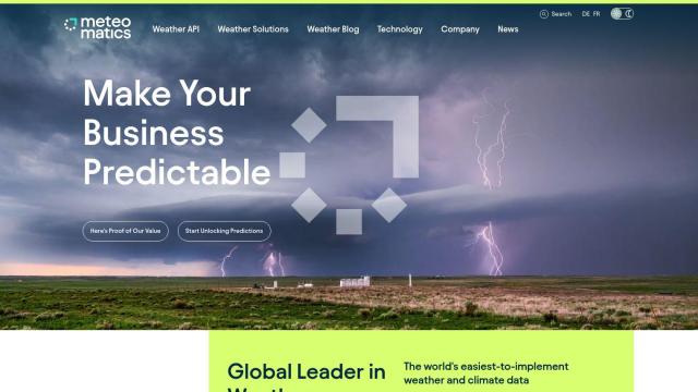
Meteomatics screenshot thumbnail

Meteomatics

Access global high-resolution weather, ocean, environment, and climate data through a comprehensive API, including historical, real-time, and forecast data up to 2100.

Visoid screenshot thumbnail

Visoid

Creates high-quality 3D images in minutes, allowing architects to experiment with different materials, lighting, and seasons in a single, intuitive tool.