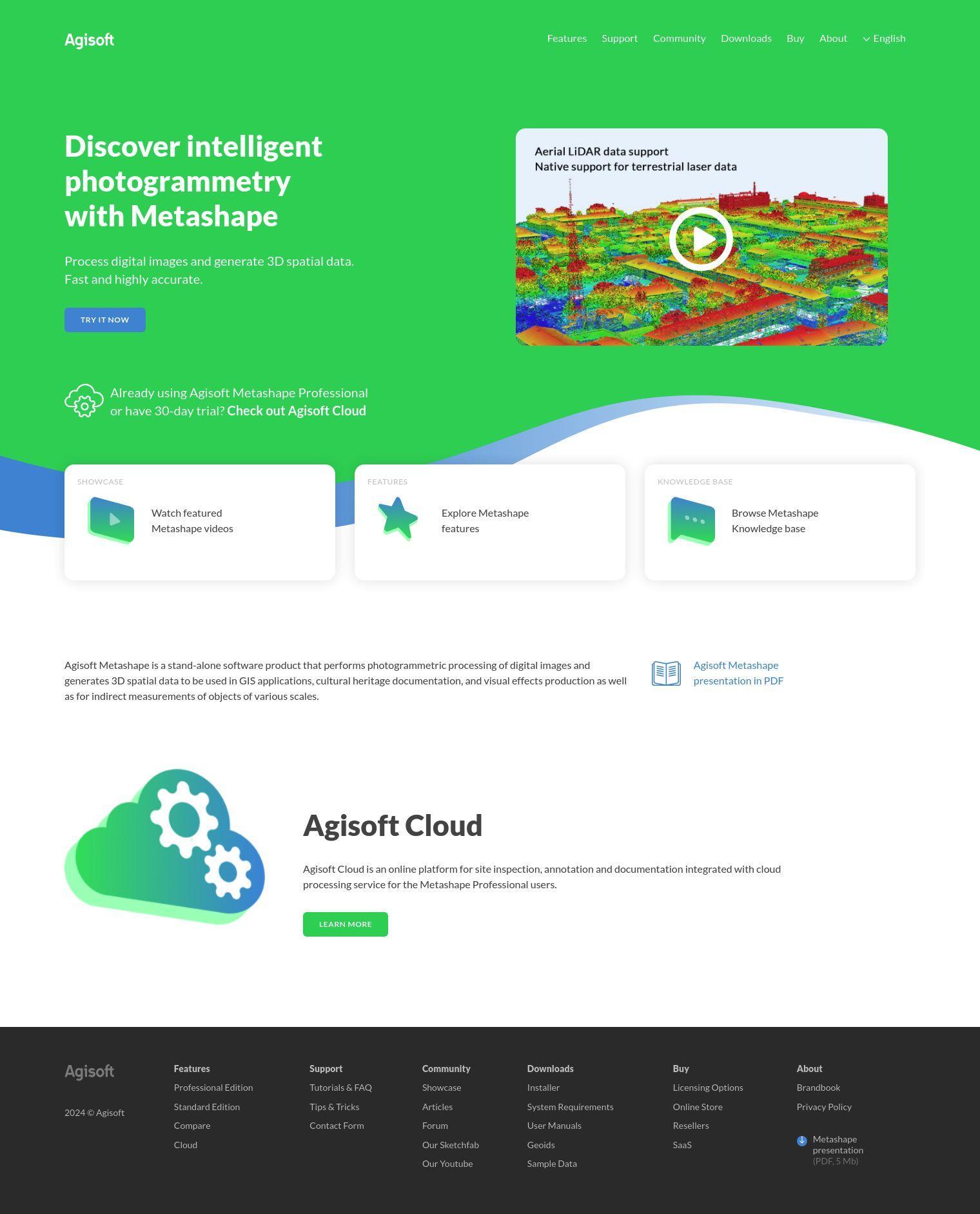
Agisoft Metashape is a standalone software designed for photogrammetric processing of digital images to create 3D spatial data. It's good for GIS work, cultural heritage documentation, visual effects creation and indirect measurements of objects ranging from small to very large.
Metashape can handle a variety of features for different types of imagery, including aerial, close-range and satellite photos. It can automatically calibrate frame and spherical cameras, handle projects with multiple cameras and scanned images with fiducial marks. You can create dense point clouds, 3D models textured with photos, and georeferenced orthomosaics. It can also process LiDAR data, create panoramas and handle multispectral imagery.
The Professional Edition adds features like automatic multi-class points classification, digital elevation model creation and editing, and support for ground control points. It also adds stereoscopic measurements, hierarchical tiled model creation and 4D modeling for dynamic scenes. You can also use Python and Java APIs for automation and customization and distributed network processing.
Metashape comes in two main versions: Standard and Professional. The Standard version is good for basic photogrammetry work, but the Professional version is geared for serious customers who need more features. Node-locked and floating licenses are available, with the floating license permitting installation on multiple machines. Educational licenses are available only to accredited educational institutions.
Here's how much Agisoft Metashape costs:
- Standard Edition Node-Locked License: $179
- Professional Edition Node-Locked License: $3,499
A 30-day free trial and demo mode lets you try the software before you buy. Agisoft also offers a cloud processing service, Agisoft Cloud, that can be used in conjunction with Metashape Professional for site inspection, annotation and documentation. It's available as a subscription service with various options for commercial and non-commercial use.
Agisoft Metashape runs on Windows, Mac OS X and Debian/Ubuntu, so it's available on a variety of operating systems. The software is geared for professionals and researchers who need to extract accurate 3D spatial data from digital images.
Published on July 14, 2024
Related Questions
Tool Suggestions
Analyzing Agisoft Metashape...
