PIX4D provides a range of photogrammetry software solutions for capturing, processing and analyzing images from drones and other cameras. The software platform converts those images into accurate maps and 3D models that can be used in a range of industries including surveying, architecture, engineering, construction and precision agriculture.
Some of the key features of PIX4D include:
- Image Capture: Capture images with a drone or camera and then import them into the software for processing.
- Photogrammetry Algorithms: PIX4D's algorithms convert images into survey-grade accurate and georeferenced orthomosaics, point clouds, 2D maps and 3D models for analysis, inspections and measurements.
- Processing Options: Projects can be processed on desktop or cloud, depending on the user's needs and available resources.
- Collaboration Tools: Project data and insights can be easily shared with team members and clients using standard file formats.
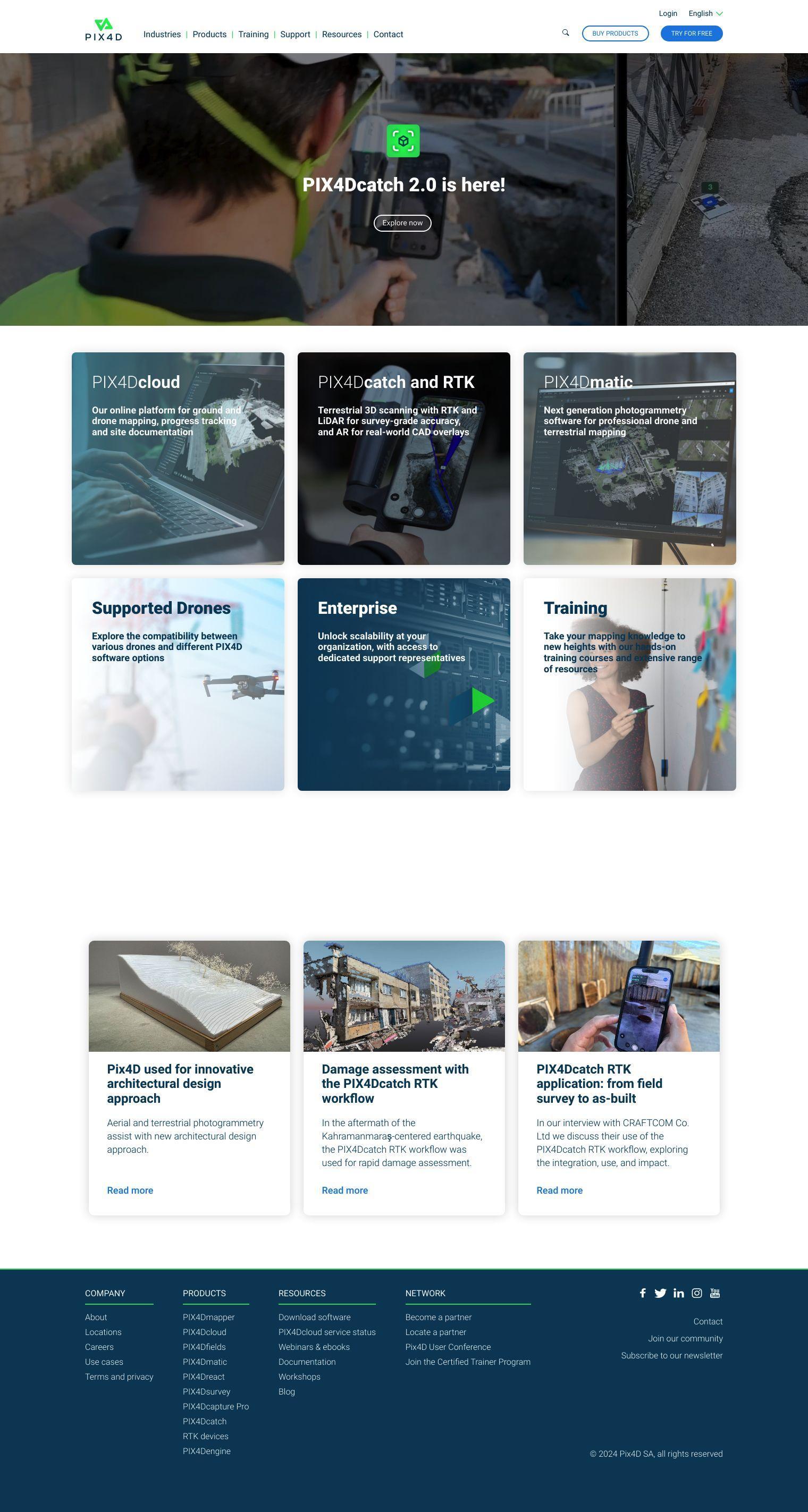
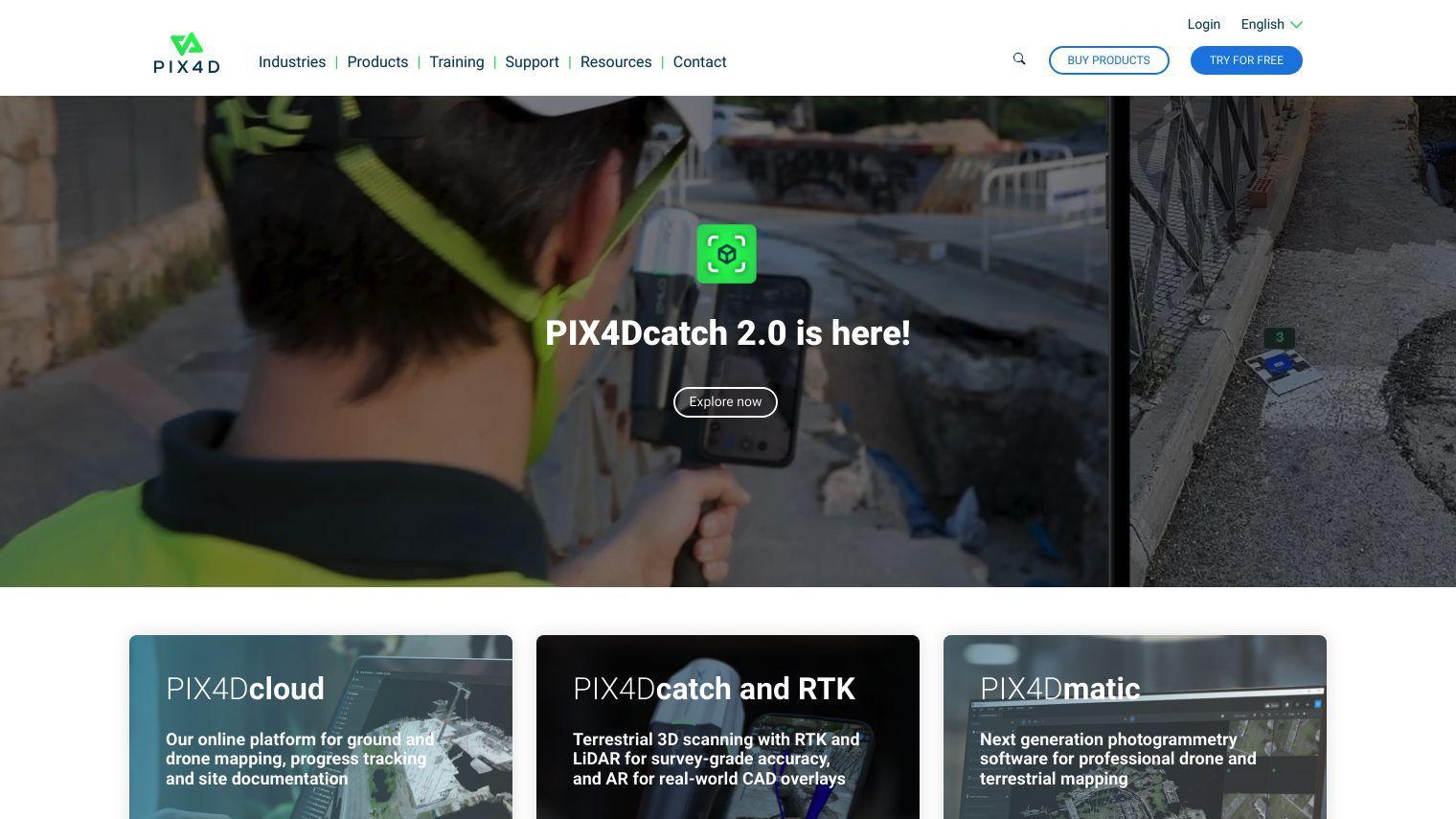
PIX4D has a range of products that cater to specific use cases:
- PIX4Dmapper: Industry leading photogrammetry software for professional drone mapping, used to transform aerial and ground images into accurate, georeferenced maps and 3D models.
- PIX4Dcloud: A cloud-based platform for mapping, progress tracking and site documentation. It automatically extracts information from images, creates 2D and 3D maps and models, and enables easy sharing and collaboration.
- PIX4Dfields: For precision agriculture, this software creates fast and accurate maps for crop analysis and digital farming, using calibrated multispectral or full-resolution RGB images.
- PIX4Dcatch: Turns smartphones into precise 3D scanners, augmented reality and RTK precision for site documentation and model verification.
- PIX4Dsurvey: Extracts and vectorizes important features from photogrammetry, laser scans or LiDAR data, and manages point clouds with intuitive tools for CAD-ready deliverables.
PIX4D pricing varies depending on the product, with options starting at a monthly subscription. The company offers a 15-day free trial for users to try its software. In addition to its software, PIX4D offers a range of support and training options, as well as an active community, to help users get the most out of its products.
PIX4D is geared for professionals and companies in a variety of industries looking to take advantage of photogrammetry and drone mapping technology to improve their workflows and get accurate, detailed results. Its flexibility and customization options make it a good fit for a variety of uses, from surveying and construction to agriculture and emergency response.
Published on July 6, 2024
Related Questions
Tool Suggestions
Analyzing PIX4D...