Question: I need a solution that can process and analyze aerial images to create detailed maps and point clouds for infrastructure planning.
PIX4D screenshot thumbnail

PIX4D

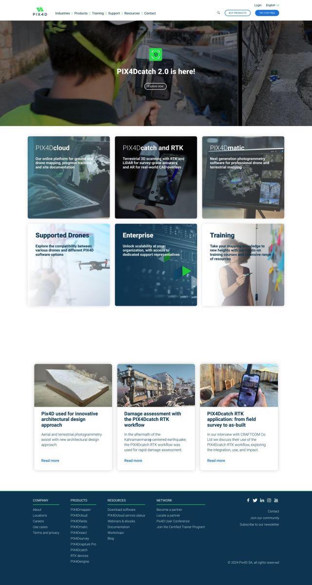
For processing and analyzing aerial imagery to produce detailed maps and point clouds for infrastructure planning, PIX4D is a top contender. It's a full suite of photogrammetry tools for capturing, processing and analyzing drone and camera imagery. PIX4D includes products like PIX4Dmapper, PIX4Dcloud, and PIX4Dfields that are geared for different industries, including surveying, architecture, engineering and construction. Its flexibility in processing, with options for desktop and cloud-based processing, and collaboration tools make it a good option for professionals.

Nearmap screenshot thumbnail

Nearmap

Another top contender is Nearmap, which offers high-resolution imagery, 3D modeling and AI predictions. The platform is geared for making better decisions in infrastructure planning, with tools like near-infrared imagery for environmental monitoring and post-catastrophe imagery for disaster response. Nearmap works with insurance, commercial and government customers to help them reduce risk, improve operations and boost customer satisfaction.

Esri screenshot thumbnail

Esri

Esri also has a powerful GIS mapping software and spatial analytics toolset. It marries location analytics with machine learning for 3D visualization, location intelligence and spatial analysis. The platform can be used for a variety of industries, including infrastructure planning, and can be run on cloud infrastructure or on-premise, with a 21-day free trial and a wealth of training resources.

Matterport screenshot thumbnail

Matterport

For those who want to build immersive 3D digital twins, Matterport offers a full-stack platform for capturing, collaborating and analyzing 3D models. It includes 3D camera capture, virtual tours and AI-based analytics that can be integrated with industry tools like Procore and Autodesk. The platform can be used to improve property marketing, facilities management and design and construction projects, and Matterport offers a variety of pricing tiers depending on business needs.
Additional AI Projects

Sentinel Hub screenshot thumbnail

Sentinel Hub

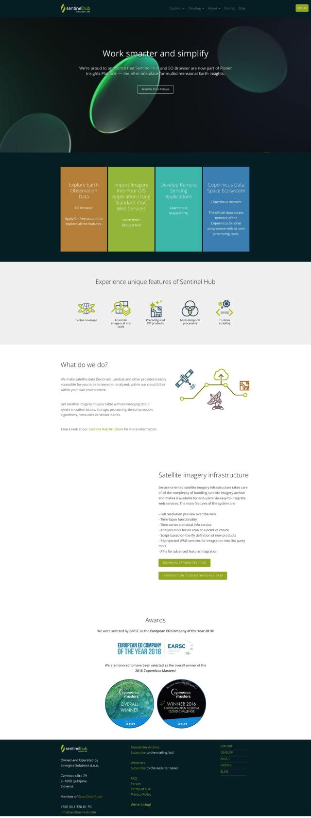
Access a unified API for satellite imagery from multiple sources, with features for data exploration, custom scripting, and analysis, and global coverage at various scales.
Hexagon screenshot thumbnail

Hexagon

Combines sensor, software, and autonomous technologies to increase efficiency, reduce waste, and improve sustainability across industries through data-driven digital reality solutions.
CARTO screenshot thumbnail

CARTO

Analyze and visualize spatial data at any scale with native cloud integration, intuitive drag-and-drop interface, and built-in GenAI capabilities.

EOSDA screenshot thumbnail

EOSDA

Utilizes satellite data and machine learning to provide actionable insights for sustainable agriculture and forestry, enabling data-driven decision making and reduced waste.

Polycam screenshot thumbnail

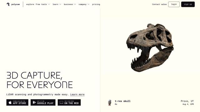
Polycam

Capture and create accurate 3D models with LiDAR scanning, photogrammetry, and 360-degree photos, and share them across platforms with ease.

Mapbox screenshot thumbnail

Mapbox

Create customizable, interactive maps with live-updating data and advanced navigation features for web, mobile, automotive, and AR applications.

LandingLens screenshot thumbnail

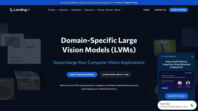
LandingLens

Unlock insights from unlabeled images, achieve accurate results, and deploy computer vision models flexibly and scalably across industries.

Mappedin screenshot thumbnail

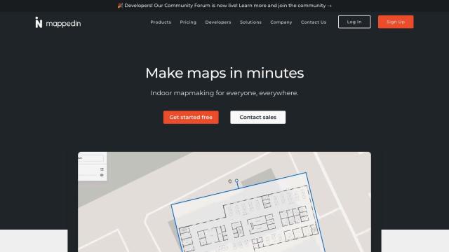
Mappedin

Create interactive 3D indoor maps with AI-assisted tools, automated navigation, and content enrichment, and share them across various devices and formats.

Roboflow screenshot thumbnail

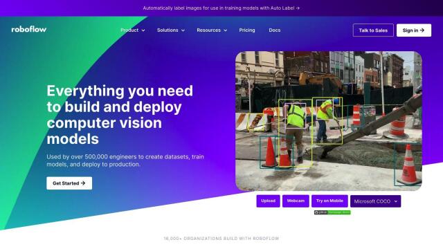
Roboflow

Automate end-to-end computer vision development with AI-assisted annotation tools, scalable deployment options, and access to 50,000+ pre-trained open source models.

Segment Anything Model screenshot thumbnail

Segment Anything Model

Segments objects in any image with a single click, generalizing to unknown objects and images without further training, using interactive points, boxes, or text prompts.

Depthify.ai screenshot thumbnail

Depthify.ai

Convert 2D photos and videos into 3D spatial content with AI-powered depth, stereo, and spatial encoding for immersive experiences on Apple Vision Pro and Meta Quest.

api4ai screenshot thumbnail

api4ai

Unlock image processing capabilities with cloud-native APIs for background removal, OCR, face recognition, and more, to automate tasks and extract valuable insights.

Cloudera screenshot thumbnail

Cloudera

Unifies and processes massive amounts of data from multiple sources, providing trusted insights and fueling AI model development across cloud and on-premises environments.

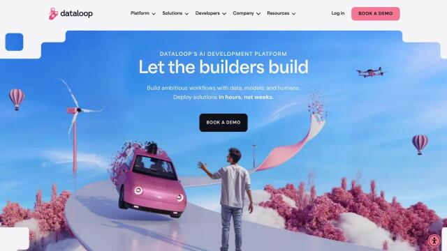
Dataloop screenshot thumbnail

Dataloop

Unify data, models, and workflows in one environment, automating pipelines and incorporating human feedback to accelerate AI application development and improve quality.

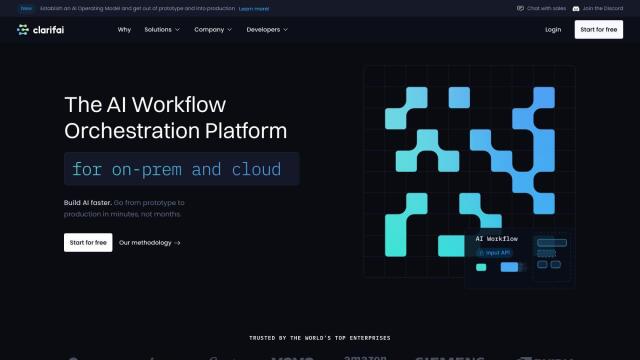
Clarifai screenshot thumbnail

Clarifai

Rapidly develop, deploy, and operate AI projects at scale with automated workflows, standardized development, and built-in security and access controls.

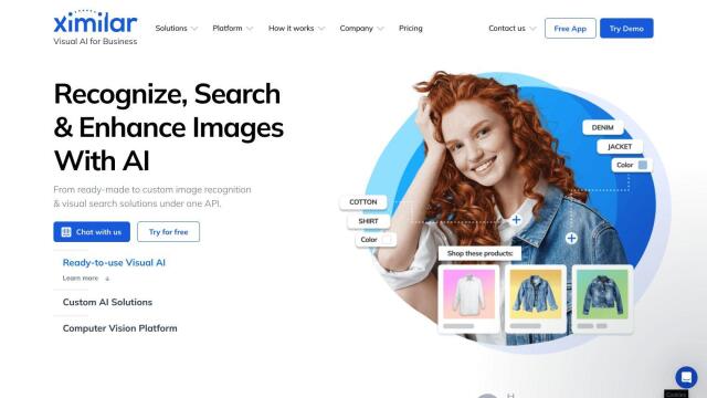
Ximilar screenshot thumbnail

Ximilar

Train custom image recognition models with your own labels and categories, and integrate them into your systems for automated tagging, search, and object detection.

ArcSoft screenshot thumbnail

ArcSoft

Enhances image quality and user experience with cutting-edge computer vision technologies for various devices and applications.

Appen screenshot thumbnail

Appen

Fuel AI innovation with high-quality, diverse datasets and a customizable platform for human-AI collaboration, data annotation, and model testing.

ezML screenshot thumbnail

ezML

Add custom computer vision abilities to apps with a simple API, leveraging prebuilt models for image classification, object detection, and facial analysis.

Imagga screenshot thumbnail

Imagga

Automatically tag, categorize, and search images with customizable machine learning technology for smart applications.