PIX4D Alternatives

Converts images into accurate maps and 3D models for analysis, inspections, and measurements, with survey-grade accuracy and georeferencing.
Nearmap screenshot thumbnail

Nearmap

If you're looking for a PIX4D alternative, Nearmap is worth a look. It provides high-resolution imagery, 3D modeling, AI predictions and geospatial tools to help businesses, communities and governments make decisions. With tools like current aerial imagery, detailed 3D visualization models and AI-generated data sets, Nearmap is geared for customers like urban planners, environmental assessors and infrastructure developers.

Esri screenshot thumbnail

Esri

Another major player is Esri, whose broad GIS mapping software and spatial analytics tools can be used to combine location analytics and machine learning for location intelligence and competitive advantage. Its tools include 3D visualization, GIS mapping, spatial analysis and data capture and management, and can be applied to everything from retail site selection to asset management and infrastructure planning.
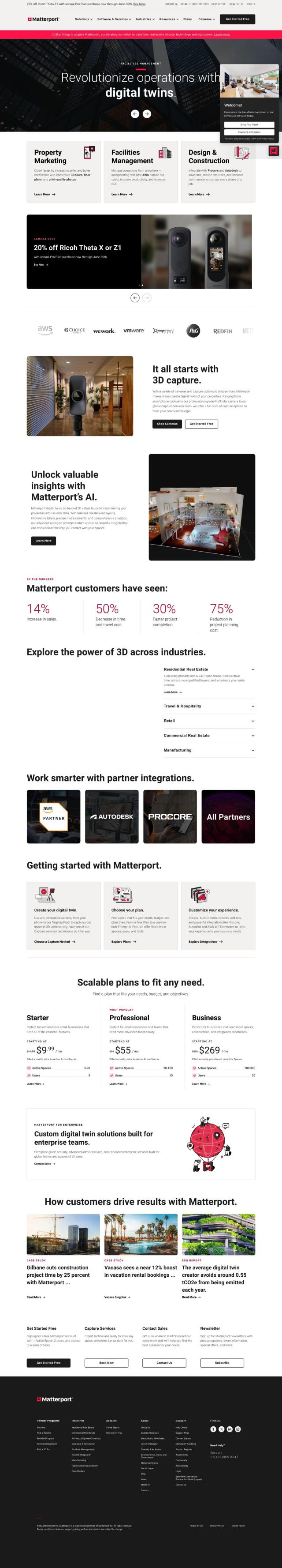
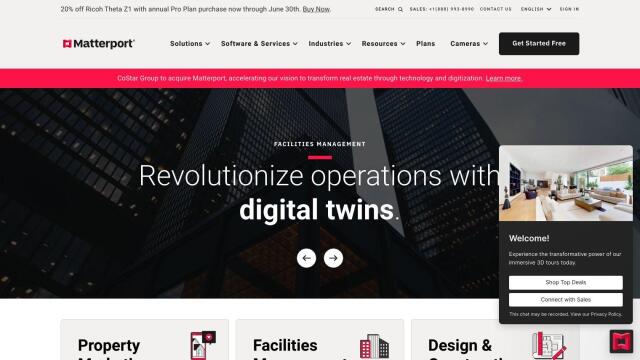
Matterport screenshot thumbnail

Matterport

If you want to provide immersive virtual experiences, Matterport is a full-stack platform for capturing, collaborating and analyzing 3D digital twins of real-world sites. That's good for property marketing, facilities management and design and construction projects. With tools like 3D camera capture, virtual tours and AI-based analytics, Matterport can improve efficiency and effectiveness in many industries.
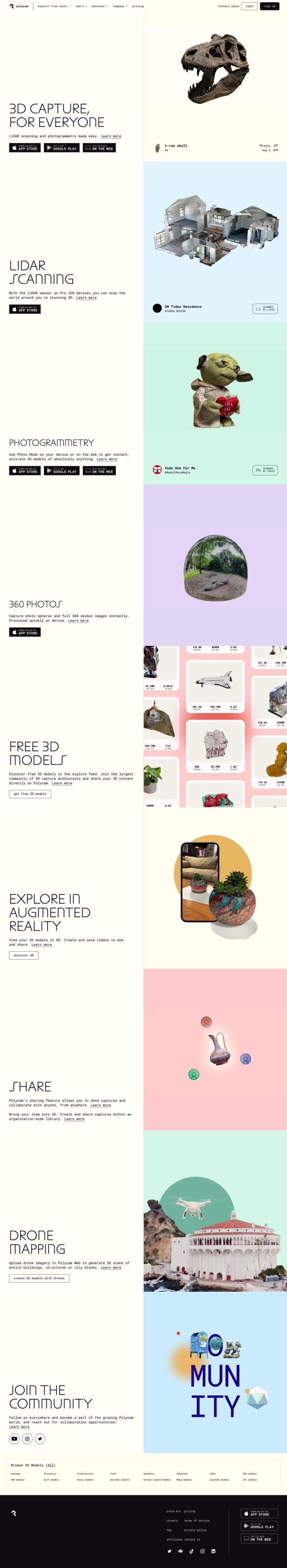
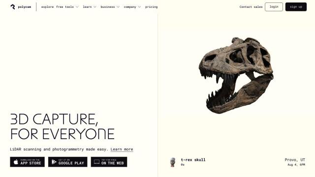
Polycam screenshot thumbnail

Polycam

Last, Polycam is an all-purpose 3D capture and creation platform that makes it easier to create 3D models with a variety of hardware. It can handle LiDAR scanning, photogrammetry and 360-degree panorama capture, so it's good for people with varying levels of technical expertise. Polycam also offers tools for collaborative 3D model sharing and management, which can be useful for teams working on a common project.

More Alternatives to PIX4D

EOSDA screenshot thumbnail

EOSDA

Utilizes satellite data and machine learning to provide actionable insights for sustainable agriculture and forestry, enabling data-driven decision making and reduced waste.

RealityCapture screenshot thumbnail

RealityCapture

Automatically generates photorealistic 3D assets and environments from photos and/or laser scans, creating textured 3D meshes and orthographic projections.

Depthify.ai screenshot thumbnail

Depthify.ai

Convert 2D photos and videos into 3D spatial content with AI-powered depth, stereo, and spatial encoding for immersive experiences on Apple Vision Pro and Meta Quest.

mnml.ai screenshot thumbnail

mnml.ai

Convert sketches and 3D models into high-quality renderings and variations with a range of AI tools for architectural and interior design projects.

LookX AI Cloud screenshot thumbnail

LookX AI Cloud

Convert text, sketches, and prompts into photorealistic renderings, videos, and images instantly, automating and accelerating the design process.

Mappedin screenshot thumbnail

Mappedin

Create interactive 3D indoor maps with AI-assisted tools, automated navigation, and content enrichment, and share them across various devices and formats.

3D AI Studio screenshot thumbnail

3D AI Studio

Convert text or images into high-quality 3D assets in seconds, saving time and money with automated modeling, texturing, and exporting capabilities.

3DFY.ai screenshot thumbnail

3DFY.ai

Generate high-quality 3D models from text prompts or single images, rapidly creating engaging 3D assets at scale with unprecedented efficiency.

Hexagon screenshot thumbnail

Hexagon

Combines sensor, software, and autonomous technologies to increase efficiency, reduce waste, and improve sustainability across industries through data-driven digital reality solutions.

CARTO screenshot thumbnail

CARTO

Analyze and visualize spatial data at any scale with native cloud integration, intuitive drag-and-drop interface, and built-in GenAI capabilities.

Mapbox screenshot thumbnail

Mapbox

Create customizable, interactive maps with live-updating data and advanced navigation features for web, mobile, automotive, and AR applications.

AI Clearing screenshot thumbnail

AI Clearing

Generates 3D site reports with 100% site coverage, providing accurate and efficient progress monitoring, reducing re-work costs and litigation risks.

Avataar screenshot thumbnail

Avataar

Create immersive 3D stories and videos with a fluid blend of digital and real-world elements, leveraging AI for easy model generation and cost savings.

DroneDeploy screenshot thumbnail

DroneDeploy

Combines data from multiple sources, including drones and cameras, into one platform, automating capture and extracting insights with AI for informed decision-making.

LandingLens screenshot thumbnail

LandingLens

Unlock insights from unlabeled images, achieve accurate results, and deploy computer vision models flexibly and scalably across industries.

Visoid screenshot thumbnail

Visoid

Creates high-quality 3D images in minutes, allowing architects to experiment with different materials, lighting, and seasons in a single, intuitive tool.

Architect Render screenshot thumbnail

Architect Render

Turns user-supplied images into photorealistic 3D renderings in seconds, boosting design productivity and effective client communication.

DreamStudio screenshot thumbnail

DreamStudio

Generate high-quality images quickly with AI-powered tools, including text-to-image and image-to-image conversions, styles, and editing capabilities.

Segment Anything Model screenshot thumbnail

Segment Anything Model

Segments objects in any image with a single click, generalizing to unknown objects and images without further training, using interactive points, boxes, or text prompts.

Cropwise screenshot thumbnail

Cropwise

Optimizes farm operations and crop performance through integrated tools and services, providing real-time monitoring, data-driven insights, and personalized recommendations.