Question: Looking for a tool that can help me create fast and accurate maps for crop analysis and digital farming using multispectral images.
PIX4D screenshot thumbnail

PIX4D

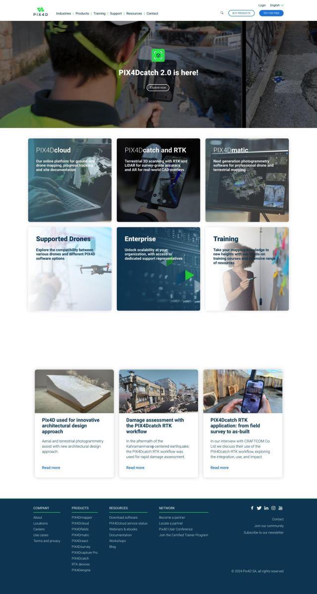
If you need to make maps fast and accurately for crop analysis and digital farming with multispectral imagery, PIX4D is a good option. This photogrammetry software suite takes images from drones and cameras and processes them into maps and 3D models. PIX4D has specific products for precision agriculture, including PIX4Dfields, which offers tools geared for crop analysis and digital farming. PIX4D has flexible processing options and strong collaboration tools, and it's geared for professionals and businesses, so it's a good option for those who want a full-featured tool to make maps that are both accurate and efficient.

EOSDA screenshot thumbnail

EOSDA

Another good option is EOSDA, a geospatial data analytics platform that uses satellite imagery and machine learning to provide insights for sustainability and better decision-making in agriculture and forestry. EOSDA's tools include crop monitoring, yield forecasting and soil moisture analysis, so it's a good option for farmers and agribusinesses that want to cut waste and increase profit. With its LandViewer GIS software and high-resolution satellite imagery, EOSDA offers detailed assessments of land use and crop health.

Esri screenshot thumbnail

Esri

Esri is another good option for GIS mapping and spatial analytics. Its platform marries location intelligence with machine learning for real-time decision-making and predictive modeling. Esri's suite of tools can be run on cloud infrastructure or on-premise, so it's good for a broad range of uses, including precision agriculture. The platform supports 3D visualization, GIS mapping, spatial analysis and remote sensing, so it's a good option for a more comprehensive crop monitoring and analysis.

Cropwise screenshot thumbnail

Cropwise

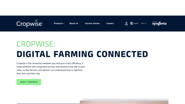
If you're a farmer looking for a digital platform to optimize farm operations and crop efficiency, Cropwise is another good option. The company offers a suite of applications including real-time field monitoring, crop health monitoring, personalized seed recommendations and agronomic decision-making tools. Cropwise is designed to enable proactive and precise decision-making, reducing rework and increasing crop yields. Its global reach and customizable options make it a good option for farmers looking to improve their digital farming.
Additional AI Projects

Agromonitoring screenshot thumbnail

Agromonitoring

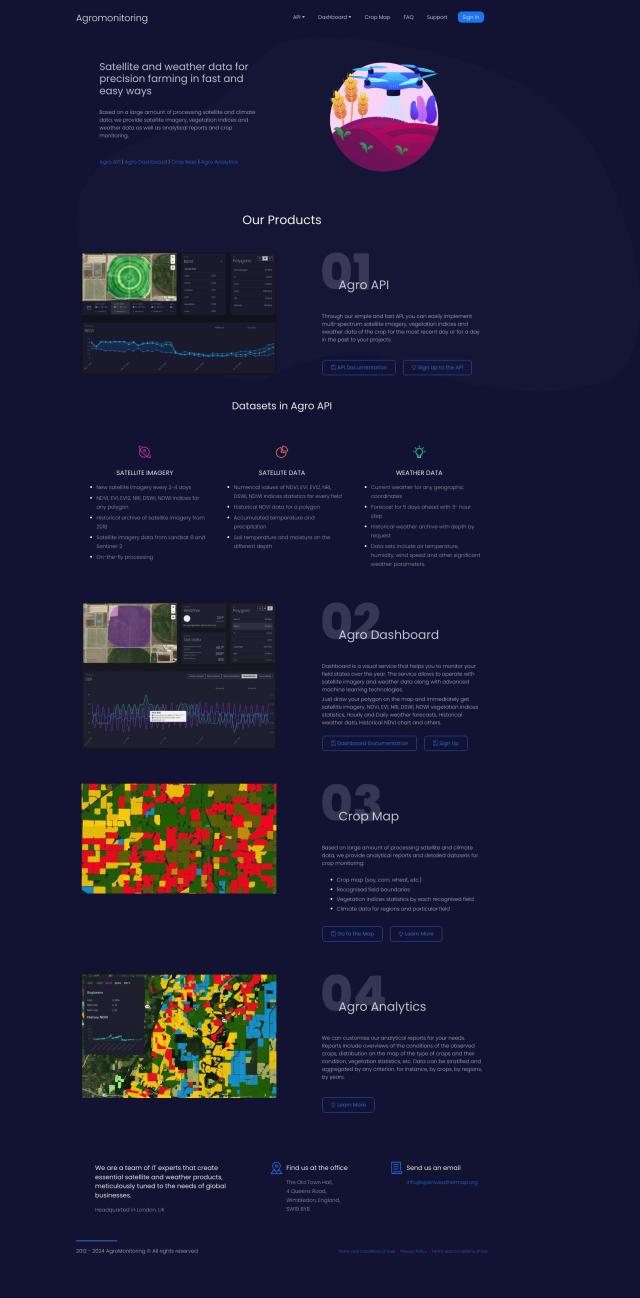
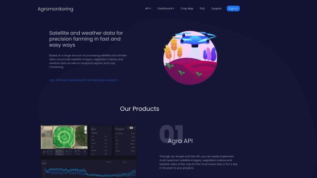
Provides precision farming insights through satellite imagery, vegetation indices, and weather data, empowering data-driven crop management and decision-making.
Nearmap screenshot thumbnail

Nearmap

Transforms high-resolution aerial imagery into actionable insights with AI predictions, 3D modeling, and geospatial tools for informed business decisions.

Hexagon screenshot thumbnail

Hexagon

Combines sensor, software, and autonomous technologies to increase efficiency, reduce waste, and improve sustainability across industries through data-driven digital reality solutions.

CARTO screenshot thumbnail

CARTO

Analyze and visualize spatial data at any scale with native cloud integration, intuitive drag-and-drop interface, and built-in GenAI capabilities.

Rapid Editor screenshot thumbnail

Rapid Editor

Automates map creation and updates using machine learning and satellite imagery, reducing manual effort and increasing accuracy.

ePlant screenshot thumbnail

ePlant

Remotely monitor tree health and environmental conditions with long-range wireless sensors, tracking growth, stress, and weather patterns for data-driven decisions.

Mapbox screenshot thumbnail

Mapbox

Create customizable, interactive maps with live-updating data and advanced navigation features for web, mobile, automotive, and AR applications.

MapmyIndia screenshot thumbnail

MapmyIndia

Seamlessly navigate and optimize last-mile operations with integrated navigation, route planning, and location intelligence solutions powered by India's best maps.

Segment Anything Model screenshot thumbnail

Segment Anything Model

Segments objects in any image with a single click, generalizing to unknown objects and images without further training, using interactive points, boxes, or text prompts.

AI Clearing screenshot thumbnail

AI Clearing

Generates 3D site reports with 100% site coverage, providing accurate and efficient progress monitoring, reducing re-work costs and litigation risks.

Textomap screenshot thumbnail

Textomap

Automatically extracts locations from text-based content to create interactive maps in seconds, saving time and effort.

Mappedin screenshot thumbnail

Mappedin

Create interactive 3D indoor maps with AI-assisted tools, automated navigation, and content enrichment, and share them across various devices and formats.

Pl@ntNet screenshot thumbnail

Pl@ntNet

Identify plants from photos using image recognition technology, and contribute to biodiversity research by reporting observations and exploring species near your location.

Ximilar screenshot thumbnail

Ximilar

Train custom image recognition models with your own labels and categories, and integrate them into your systems for automated tagging, search, and object detection.

Imagga screenshot thumbnail

Imagga

Automatically tag, categorize, and search images with customizable machine learning technology for smart applications.

Wolfram|Alpha screenshot thumbnail

Wolfram|Alpha

Provides instant answers and insights across multiple subjects, from math and science to culture and everyday life, with step-by-step solutions and calculations.

Spatial.ai screenshot thumbnail

Spatial.ai

Unlock deeper customer insights with behavioral segmentation tools, profiling social, mobile, and web behavior to inform targeted marketing and location strategies.

MapsGPT screenshot thumbnail

MapsGPT

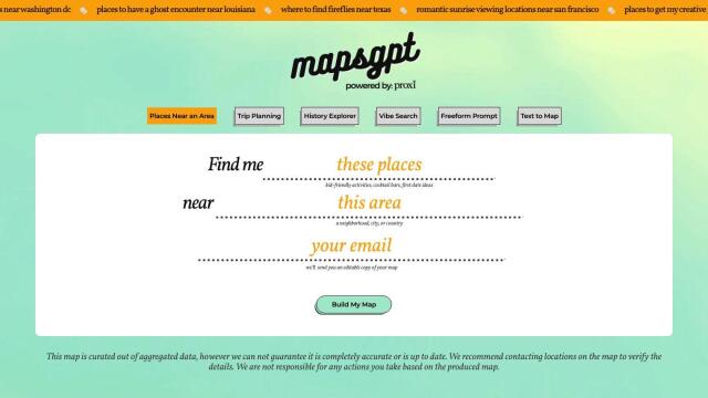
Instantly generate custom maps with pins for specific activities, trips, or atmospheres, and discover unique locations with a range of search options.

mnml.ai screenshot thumbnail

mnml.ai

Convert sketches and 3D models into high-quality renderings and variations with a range of AI tools for architectural and interior design projects.

Appen screenshot thumbnail

Appen

Fuel AI innovation with high-quality, diverse datasets and a customizable platform for human-AI collaboration, data annotation, and model testing.