Question: I need a tool to create 3D models from aerial photographs, can you recommend something?
PIX4D
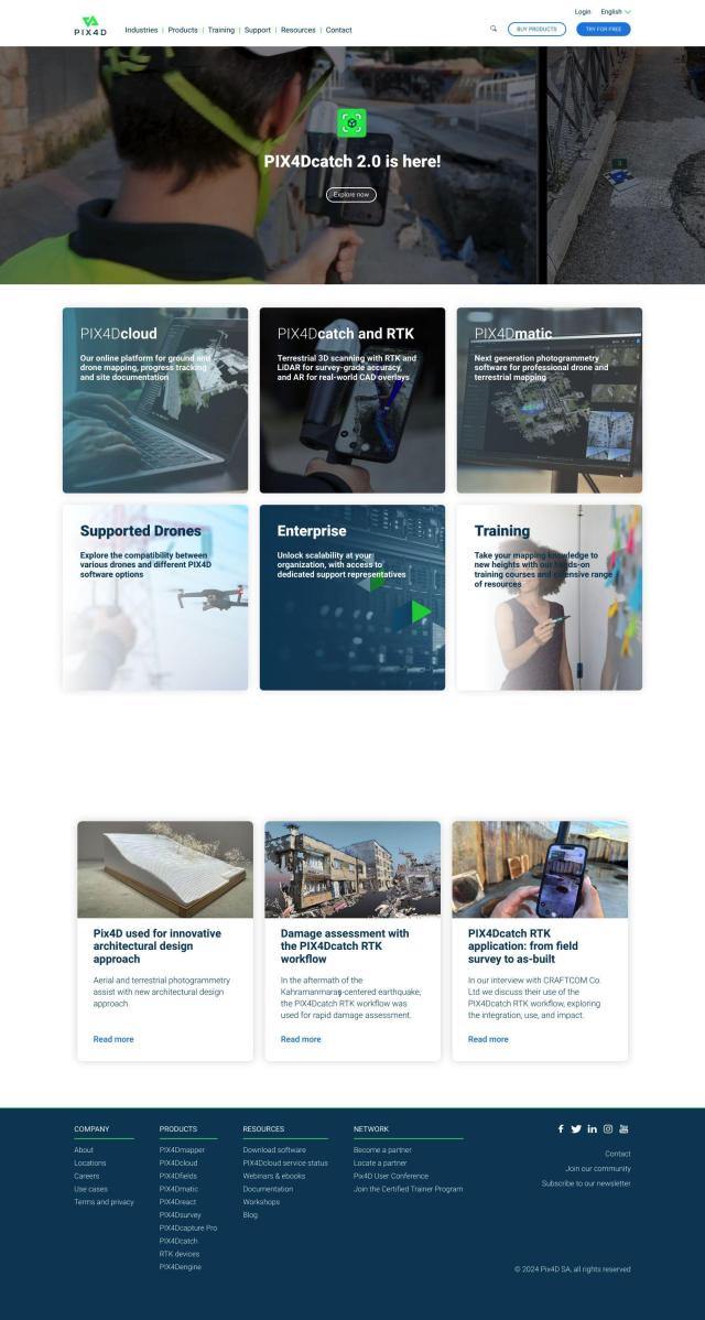
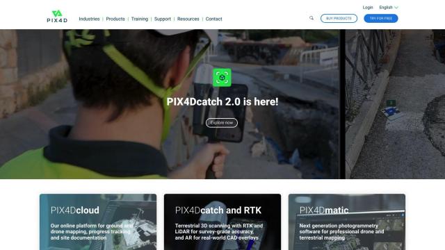
If you're looking for a tool to turn aerial photos into 3D models, PIX4D is a good candidate. PIX4D is a full-featured photogrammetry software suite that captures, processes and analyzes drone and camera imagery to create maps and 3D models. It has a range of products for specific industries like surveying, architecture, engineering and precision agriculture, with both desktop and cloud-based processing. You can start with a 15-day free trial, and its pricing is flexible enough to accommodate professionals and businesses.

RealityCapture
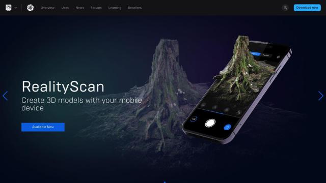
Another good option is RealityCapture. This software automatically creates textured 3D meshes and orthographic projections from photos and laser scans. It's popular in areas like cultural heritage, architecture and game development, so it's a good choice if you want to create detailed 3D models of historical sites, monuments and buildings. RealityCapture also has a free version for smaller companies and students, so it's more accessible.

Polycam
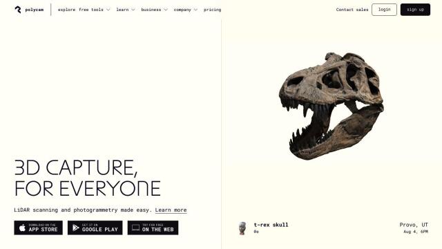
If you prefer something more accessible, Polycam is a 3D capture and creation platform that can be used on your iPhone, iPad, Android device or web browser, regardless of your technical skill level. Polycam can handle photogrammetry and LiDAR scanning, as well as 360-degree panorama capture, and offers a range of subscription plans. That makes it a good choice if you want a tool that's easy to use but still has a lot of power.


Nearmap
Last, Nearmap offers a powerful location intelligence platform with high-resolution imagery, 3D modeling and AI predictions. It's geared for businesses, communities and governments, with tools for property attributes, environmental monitoring and disaster response. It's geared for commercial and government customers, but Nearmap's feature set is useful for anyone who needs detailed, accurate 3D models and visualizations based on aerial imagery.


