Question: I'm looking for a solution to create detailed 3D spatial data for GIS work, what are my options?
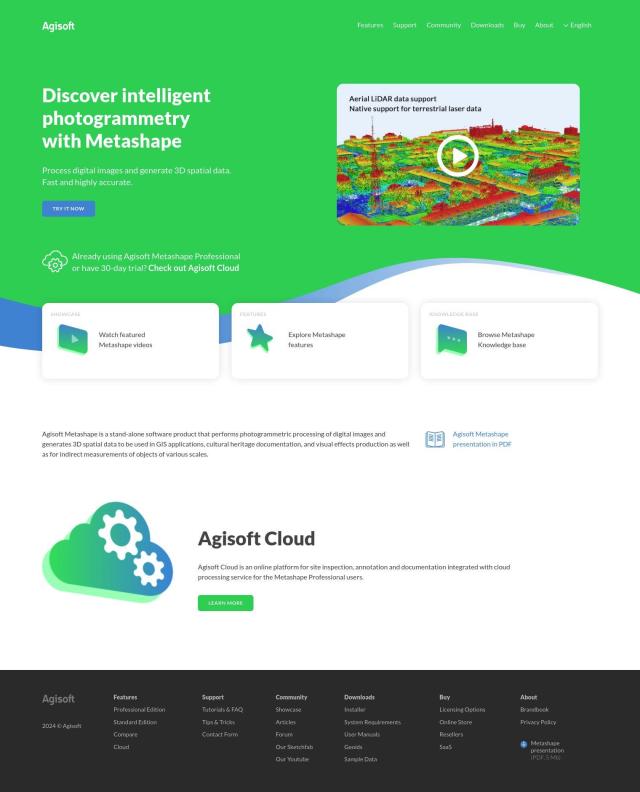
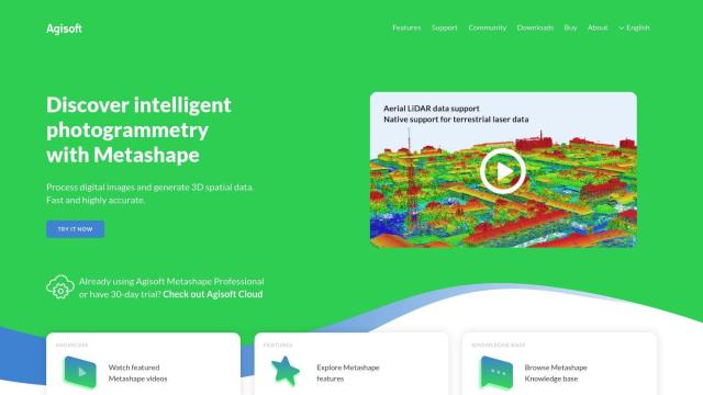
Agisoft Metashape
If you need a tool to generate detailed 3D spatial data for GIS work, Agisoft Metashape is a top contender. This photogrammetric processing software turns digital photos into 3D models, a good fit for GIS, cultural heritage and visual effects. It can handle a range of image types, including aerial, close-range and satellite imagery, and has advanced features like auto-calibration, dense point cloud generation and 3D modeling with texturing.
PIX4D
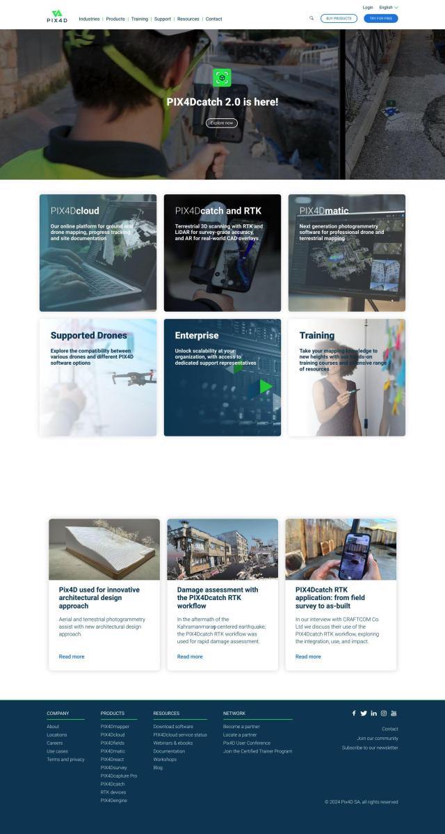
Another strong contender is PIX4D, a full-featured photogrammetry software package that captures and processes drone and camera imagery to generate maps and 3D models. PIX4D offers flexible processing options between desktop and cloud, and products geared for specific industries like surveying, architecture and precision agriculture. It also offers collaboration tools to share project data and insights.


Esri
If you're looking for a platform that combines 3D visualization with GIS mapping and spatial analysis, Esri is worth a look. Esri's tools offer location intelligence and machine learning abilities, and it's good for everything from infrastructure planning to climate change efforts. It's available on premise or in the cloud, and you can try it for 21 days for free to see what it can do.


Nearmap
Last, Nearmap offers high-resolution imagery and 3D modeling, along with AI predictions and geospatial tools. This platform is good for urban planning, environmental monitoring and emergency response, offering up to date, high-resolution imagery and powerful 3D models to help you make more informed decisions.


