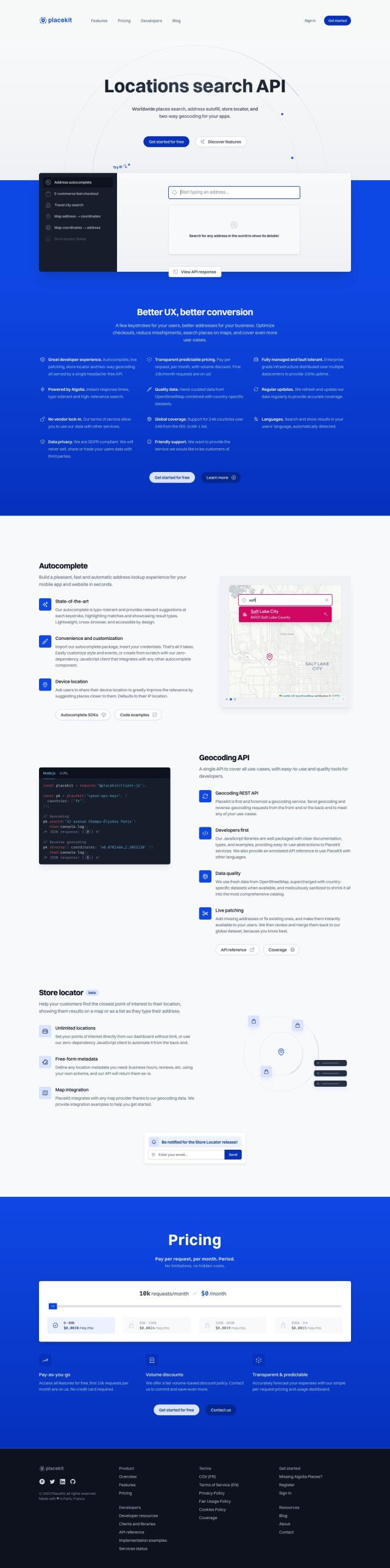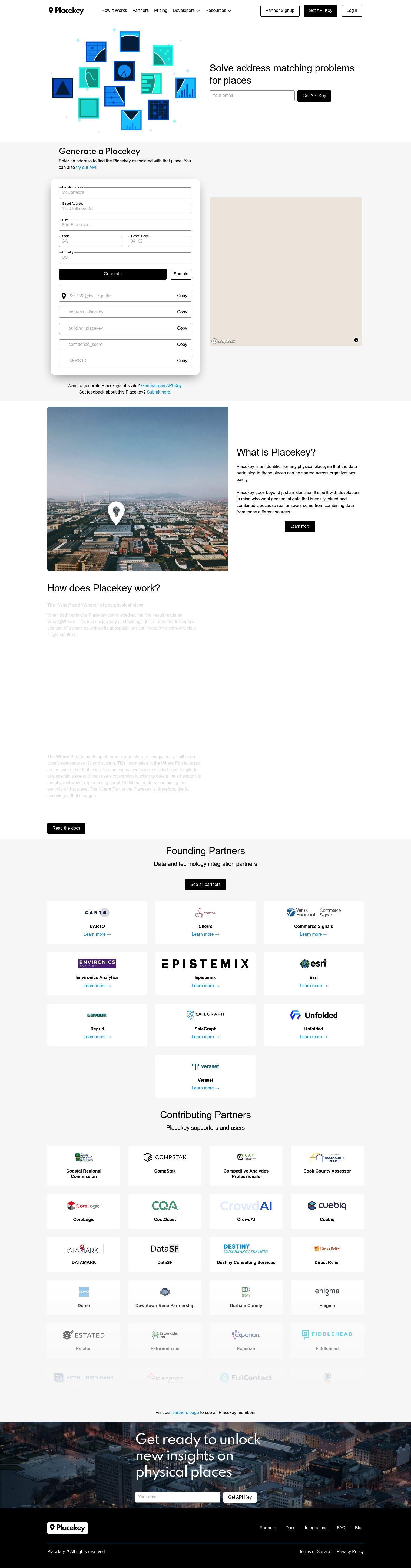
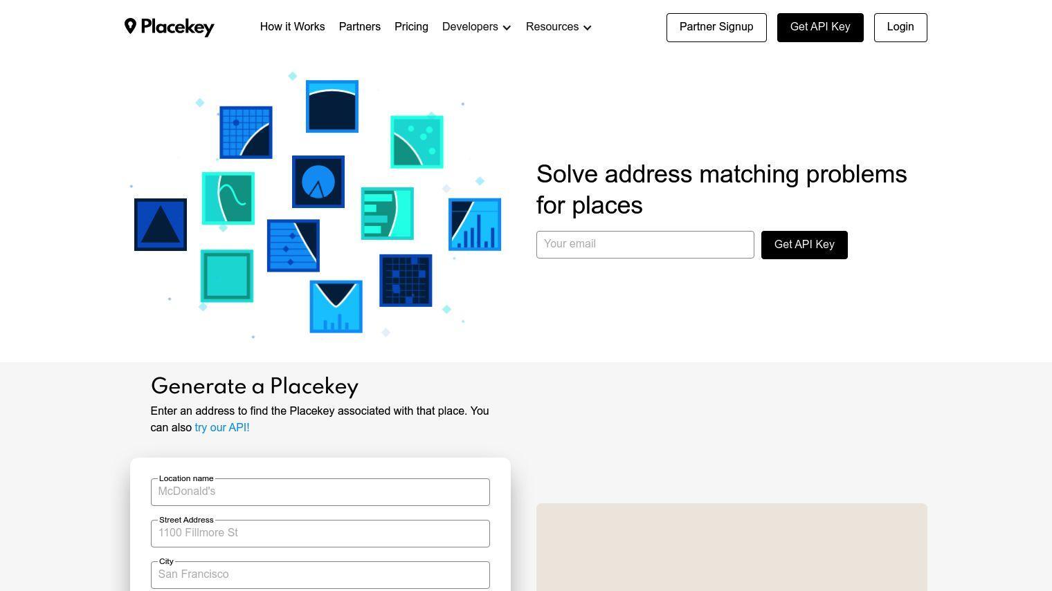
Placekey is a universal place identifier that organizations, businesses and geospatial researchers can use to standardize and unify location information. The idea is to fix the address matching problem by offering a single industry standard for any physical location. That means data about those locations can be easily shared across organizations.
With Placekey, you can create a unique identifier for any address by combining the location name, street address, city, state, postal code and country. The Placekey identifier is formatted as What@Where, which reveals the descriptive and geospatial aspects of a location. The Where Part is based on Uber's open-source H3 grid system, which gives each hexagon a unique sequence of characters that represents about 15,000 square meters of real estate around a location.
Placekey can be useful for developers who need geospatial data that can be easily joined and merged from different sources. The free API service lets you append Placekeys to addresses, POIs or latitude and longitude pairs, which can help you solve address and POI matching problems and perform entity resolution.
The service has several integrations to make it available on different software. That includes QGIS, Google Sheets, Carto, Excel, JavaScript, Python, Snowflake, Jupyter Notebooks and R Code, among others. That means you can use Placekeys for address and POI matching, deduping and entity resolution.
Placekey has several pricing tiers for different usage levels:
- Free: No charge, 10,000 lookups per day
- Silver: $200 per month (annual payment), 500,000 lookups per month
- Gold: $1,000 per month (annual payment), 2.5 million lookups per month
- Enterprise: Starting at $3,000 per month (annual payment), starting at 10 million lookups per month
More than 500 companies have signed up to support Placekey, including Esri, SafeGraph, Carto and Landgrid. That broad support helps validate the tool's usefulness for standardizing location data and improving collaboration across industries.
Published on June 14, 2024
Related Questions
Tool Suggestions
Analyzing Placekey...