Placekey Alternatives

Assigns a unique identifier to any physical location, standardizing address information for easy data sharing and integration across organizations.
CARTO screenshot thumbnail

CARTO

If you're looking for a Placekey alternative, CARTO is a good choice. It's a cloud-native location intelligence platform that lets you analyze, visualize and build applications with spatial data at scale. CARTO's scalable app development capabilities come with access to more than 12,000 geospatial datasets through the Data Observatory, so it's a good choice for companies that want to tap into spatial analytics and visualization.

Esri screenshot thumbnail

Esri

Another powerful alternative is Esri, a broad-shouldered GIS mapping software and spatial analytics company. Its platform marries location analytics with machine learning for location intelligence and competitive advantage, with tools like 3D visualization, GIS mapping and predictive modeling. It's geared for real-time decision-making and can run on cloud infrastructure or on-premise, so it's good for many industries.
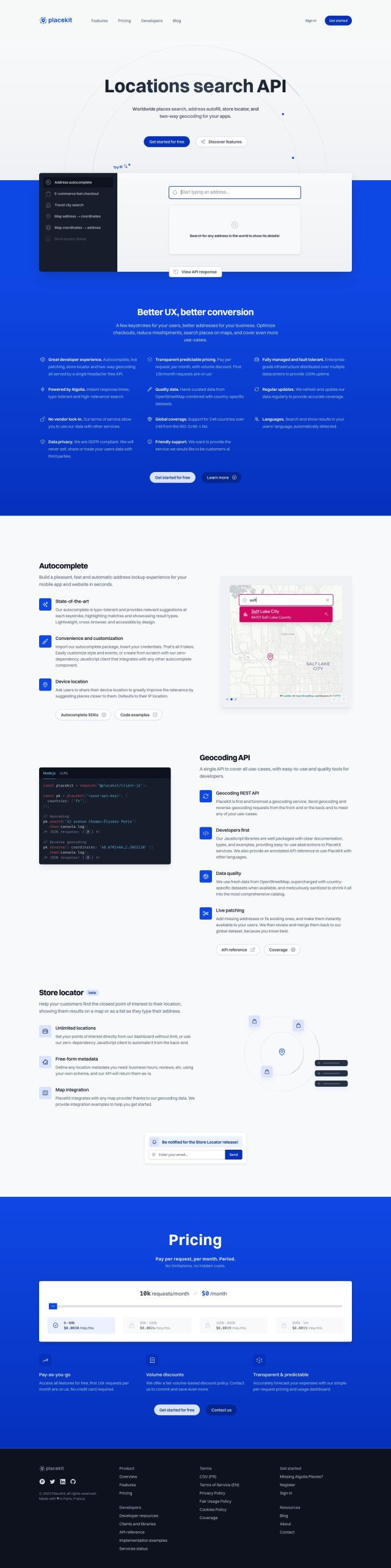
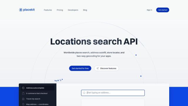
PlaceKit screenshot thumbnail

PlaceKit

If you need a geocoding API alternative, PlaceKit is a good choice. It offers fast, accurate and global address search, along with features like store locators and customizable autocomplete. PlaceKit covers 246 countries and many languages and has a pay-per-request pricing model with volume discounts, so it's a good choice for companies that need to handle addresses in a variety of apps.

Mapbox screenshot thumbnail

Mapbox

Last, Mapbox is another good location intelligence alternative. It offers customizable maps, advanced navigation and precise location search, with rich geospatial data and global datasets. Mapbox also makes it easy to integrate your own data, and it offers a free tier, so it's good for everything from connected navigation to data analysis.

More Alternatives to Placekey

Radar screenshot thumbnail

Radar

Radar combines geofencing, geocoding, and mapping for accurate, cost-effective location-based experiences.

Loqate screenshot thumbnail

Loqate

Enhance address data quality and user experience with fast and accurate capture, verification, and geocoding technology for 249 countries and territories.

MapmyIndia screenshot thumbnail

MapmyIndia

Seamlessly navigate and optimize last-mile operations with integrated navigation, route planning, and location intelligence solutions powered by India's best maps.

Nearmap screenshot thumbnail

Nearmap

Transforms high-resolution aerial imagery into actionable insights with AI predictions, 3D modeling, and geospatial tools for informed business decisions.

Spatial.ai screenshot thumbnail

Spatial.ai

Unlock deeper customer insights with behavioral segmentation tools, profiling social, mobile, and web behavior to inform targeted marketing and location strategies.

Unearth Insights screenshot thumbnail

Unearth Insights

Access a unified suite of location data and analytics tools, powered by an AI co-pilot, to uncover insights and drive business decisions faster.

Bluedot screenshot thumbnail

Bluedot

Empowers apps to send targeted messages and automate tasks with 20x accurate location detection, down to five meters, for seamless customer experiences.

OpenSearch screenshot thumbnail

OpenSearch

Build scalable, high-performance search solutions with out-of-the-box performance, machine learning integrations, and powerful analytics capabilities.

ThoughtSpot screenshot thumbnail

ThoughtSpot

Ask complex data questions in natural language and get instant AI-powered insights, empowering informed business decisions without requiring SQL or data expertise.

Elastic screenshot thumbnail

Elastic

Combines search and AI to extract meaningful insights from data, accelerating time to insight and enabling tailored experiences.

SimplyPut screenshot thumbnail

SimplyPut

Ask data questions in plain language and get trusted answers without coding, with real-time analytics and AI-powered insights into trends, anomalies, and forecasts.

CarbonReach screenshot thumbnail

CarbonReach

Combines device, location, network, and behavior data to predict future risks, providing a comprehensive view of network activity for targeted security action.

INRIX screenshot thumbnail

INRIX

Harnesses 50 petabytes of transportation data to provide real-time traffic insights, crash alerts, and parking analytics, optimizing urban mobility and road safety.

Flybuy screenshot thumbnail

Flybuy

Provides accurate location intelligence, going beyond traditional geofence technology, to improve guest experience and streamline operations for various industries.

Textomap screenshot thumbnail

Textomap

Automatically extracts locations from text-based content to create interactive maps in seconds, saving time and effort.

Geotab screenshot thumbnail

Geotab

Leverage AI-driven insights and recommendations to optimize fleet operations, improve safety, and reduce emissions, while automating compliance and increasing productivity.

BestTime screenshot thumbnail

BestTime

Provides real-time retail foot traffic data, forecasts, and live activity insights for locations worldwide, enabling informed decisions on visitation and operations.

Chatmeter screenshot thumbnail

Chatmeter

Unifies online presence, manages customer reviews, and optimizes local SEO across multiple locations, providing actionable insights to improve customer experience and brand reputation.

IP Lookup Geolocation API screenshot thumbnail

IP Lookup Geolocation API

Retrieve detailed geolocation information for an IP address, including type, business details, and location data, to personalize user experiences and serve targeted content.

Zeotap screenshot thumbnail

Zeotap

Unifies customer data from various sources into a single profile, enabling omnichannel personalization and data-driven decision making while respecting privacy and preferences.