Question: How can I easily match and merge geospatial data from various sources without worrying about address inconsistencies?


Placekey screenshot thumbnail

Placekey

If you're looking for a simple way to match and merge geospatial data from different sources without worrying about address matching problems, Placekey is a good option. It provides a universal place identifier system that sidesteps address matching problems by providing a single identifier for any address. Placekey uses a standard format that combines location name, street address, city, state, postal code, and country to produce a single identifier. The service offers a free API for adding Placekeys to addresses, POIs, or latitude and longitude pairs, and for matching addresses and POIs, deduping and entity resolution.

CARTO screenshot thumbnail

CARTO

Another good option is CARTO, a cloud-native location intelligence platform that lets you analyze, visualize and build applications with spatial data at large scale. CARTO's platform can be used in conjunction with native analysis and visualization tools on cloud data warehousing services like BigQuery, Snowflake, Redshift and Azure. It comes with an easy-to-use drag-and-drop interface, 100+ pre-built analysis components and built-in GenAI abilities, so it's a good option for companies that want to tap into spatial analytics and visualization.

Esri screenshot thumbnail

Esri

If you need a full-featured GIS mapping and spatial analytics tool, Esri has a powerful platform that marries location analytics and machine learning. Esri's platform includes 3D visualization, location intelligence, GIS mapping and spatial analysis, and is used in many industries and use cases. It comes with a 21-day free trial, training, developer tools and a community, so it's a good option for real-time decision-making and predictive modeling.

Additional AI Projects

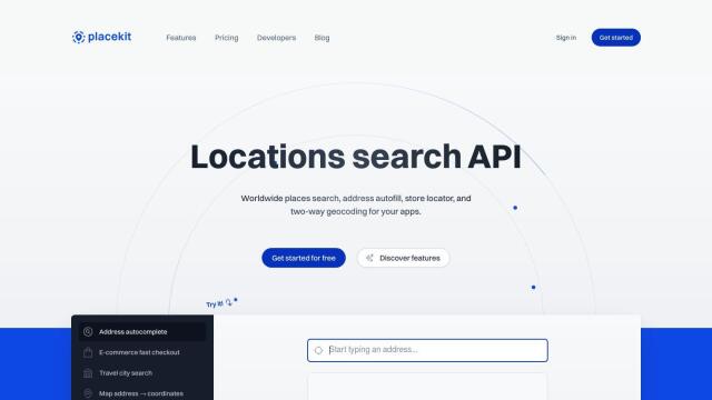
PlaceKit screenshot thumbnail

PlaceKit

Fast, accurate, and global address search with autocomplete, geocoding, and store locator features for seamless user experiences and efficient address management.

Loqate screenshot thumbnail

Loqate

Enhance address data quality and user experience with fast and accurate capture, verification, and geocoding technology for 249 countries and territories.

Mapbox screenshot thumbnail

Mapbox

Create customizable, interactive maps with live-updating data and advanced navigation features for web, mobile, automotive, and AR applications.

MapmyIndia screenshot thumbnail

MapmyIndia

Seamlessly navigate and optimize last-mile operations with integrated navigation, route planning, and location intelligence solutions powered by India's best maps.

Radar screenshot thumbnail

Radar

Radar combines geofencing, geocoding, and mapping for accurate, cost-effective location-based experiences.

Nearmap screenshot thumbnail

Nearmap

Transforms high-resolution aerial imagery into actionable insights with AI predictions, 3D modeling, and geospatial tools for informed business decisions.

Unearth Insights screenshot thumbnail

Unearth Insights

Access a unified suite of location data and analytics tools, powered by an AI co-pilot, to uncover insights and drive business decisions faster.

Spatial.ai screenshot thumbnail

Spatial.ai

Unlock deeper customer insights with behavioral segmentation tools, profiling social, mobile, and web behavior to inform targeted marketing and location strategies.

CarbonReach screenshot thumbnail

CarbonReach

Combines device, location, network, and behavior data to predict future risks, providing a comprehensive view of network activity for targeted security action.

OpenSearch screenshot thumbnail

OpenSearch

Build scalable, high-performance search solutions with out-of-the-box performance, machine learning integrations, and powerful analytics capabilities.

Rapid Editor screenshot thumbnail

Rapid Editor

Automates map creation and updates using machine learning and satellite imagery, reducing manual effort and increasing accuracy.

Geotab screenshot thumbnail

Geotab

Leverage AI-driven insights and recommendations to optimize fleet operations, improve safety, and reduce emissions, while automating compliance and increasing productivity.

Stitch screenshot thumbnail

Stitch

Extracts data from 140+ sources, loading it into a cloud data warehouse for analysis at scale, with no coding required, in minutes.

Peaka screenshot thumbnail

Peaka

Links multiple data sources, including databases and APIs, into a single queryable source, eliminating ETL processes and enabling real-time data access.

Appen screenshot thumbnail

Appen

Fuel AI innovation with high-quality, diverse datasets and a customizable platform for human-AI collaboration, data annotation, and model testing.

Bluedot screenshot thumbnail

Bluedot

Empowers apps to send targeted messages and automate tasks with 20x accurate location detection, down to five meters, for seamless customer experiences.

Dataloop screenshot thumbnail

Dataloop

Unify data, models, and workflows in one environment, automating pipelines and incorporating human feedback to accelerate AI application development and improve quality.

Lume screenshot thumbnail

Lume

Automates data mapping with AI, generating mapping logic in seconds, and updating it when schema changes, to ensure data consistency and accuracy.

SimplyPut screenshot thumbnail

SimplyPut

Ask data questions in plain language and get trusted answers without coding, with real-time analytics and AI-powered insights into trends, anomalies, and forecasts.

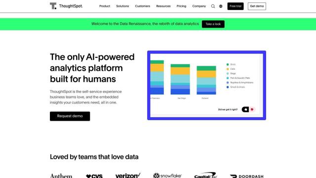
ThoughtSpot screenshot thumbnail

ThoughtSpot

Ask complex data questions in natural language and get instant AI-powered insights, empowering informed business decisions without requiring SQL or data expertise.

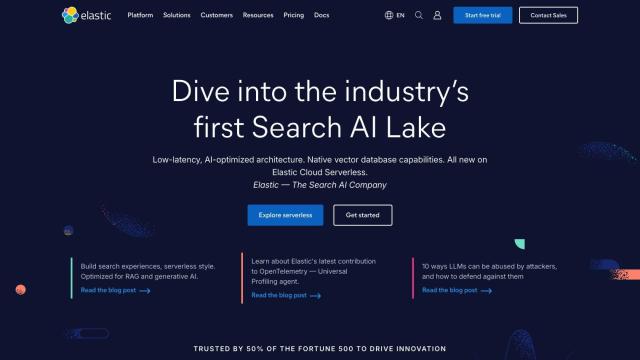
Elastic screenshot thumbnail

Elastic

Combines search and AI to extract meaningful insights from data, accelerating time to insight and enabling tailored experiences.