PIX4D
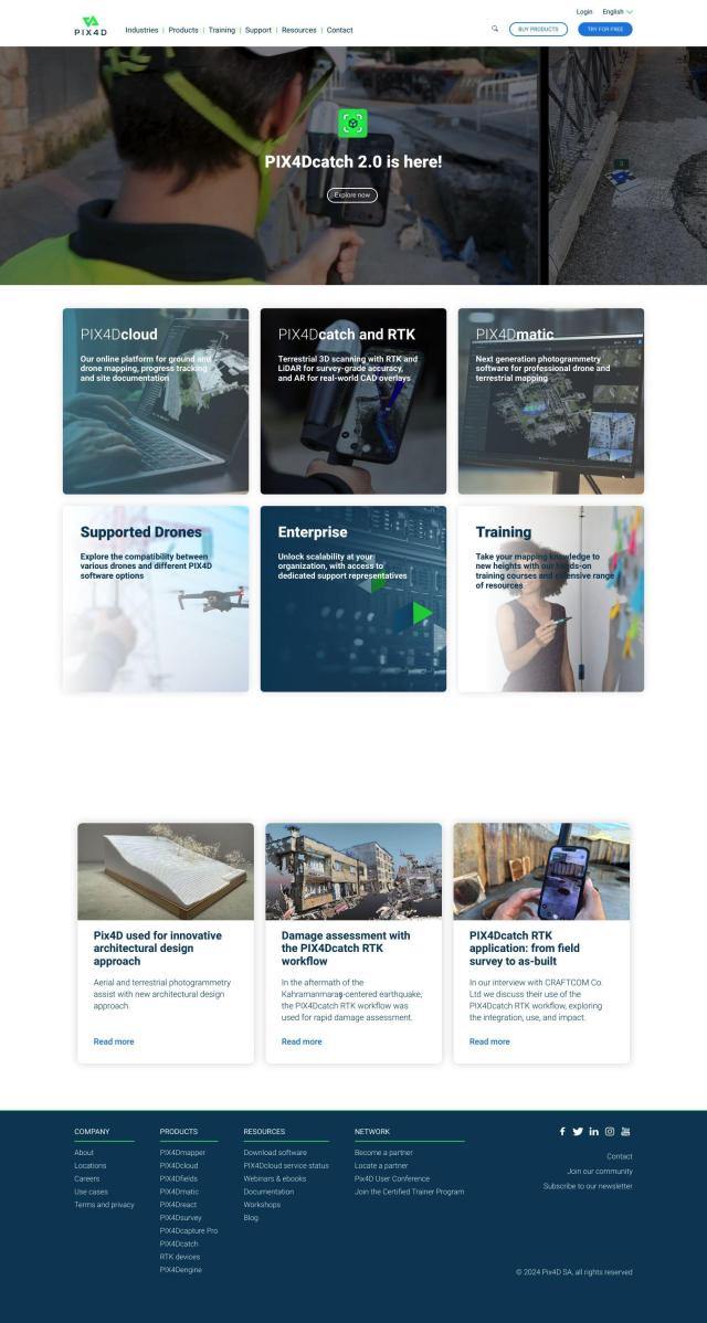
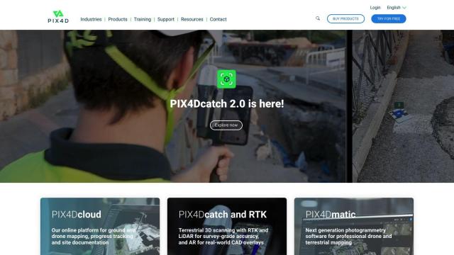
If you're looking for a replacement for Agisoft Metashape, PIX4D is another serious candidate. It's a family of photogrammetry software tools for capturing, processing and analyzing photos from drones and cameras. PIX4D can generate maps and 3D models for surveying, architecture, engineering and precision agriculture. It can process data in either desktop or cloud environments, and collaboration tools let you share project data and insights.
RealityCapture
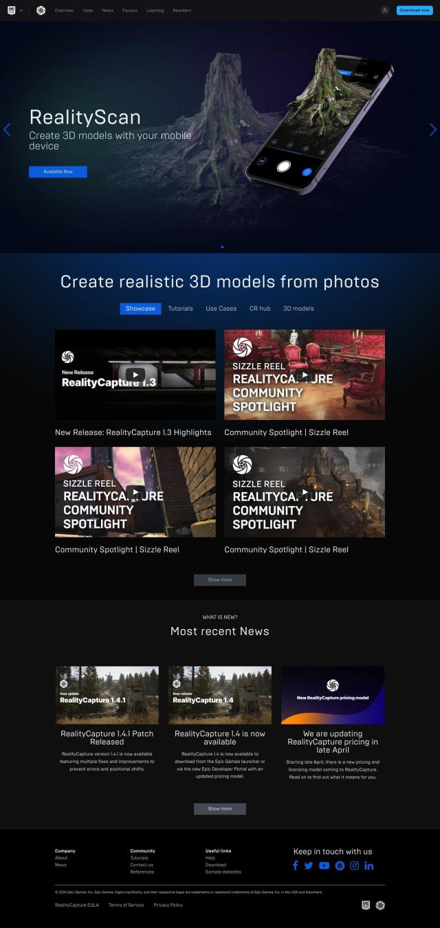
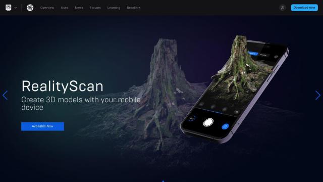
Another serious contender is RealityCapture. It can automatically generate textured 3D meshes, orthographic projections and other output from photos and laser scans. It's particularly good for generating detailed 3D models of historical sites, buildings and environments for video games and visual effects. RealityCapture can generate models automatically and accepts a variety of input data, so it's good for pros and nonpros.

Polycam
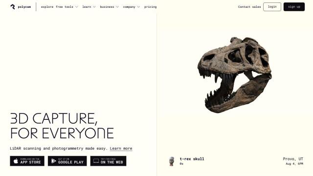
If you're looking for a service that specializes in 3D capture and creation, Polycam is worth a look. The service lets people create 3D models with their iPhone, iPad, Android or web browser. It can capture LiDAR scanning, photogrammetry and 360-degree panorama data, and it can also view augmented reality scenes and has a library of free 3D models. Polycam offers both free and paid accounts, depending on how much you need to do.


Nearmap
Another option is Nearmap, a location intelligence platform that offers high-resolution imagery, 3D modeling and AI predictions. It's designed to help businesses, communities and governments make decisions with tools like aerial imagery, 3D visualization models and geospatial data. Nearmap is good for urban planning, environmental impact assessments, infrastructure projects and emergency response.
