Question: Can you suggest a photogrammetry software that can handle multispectral imagery and create panoramas?
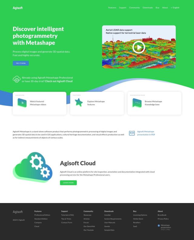
Agisoft Metashape
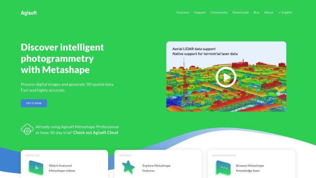
If you're looking for photogrammetry software that can handle multispectral imagery and create panoramas, Agisoft Metashape is a good option. It includes features like auto-calibration, multi-camera project support, dense point cloud generation, 3D modeling, georeferenced orthomosaics, LiDAR data processing, and panorama stitching. It also can process multispectral imagery, so it's good for a wide range of uses from GIS to cultural heritage.
PIX4D
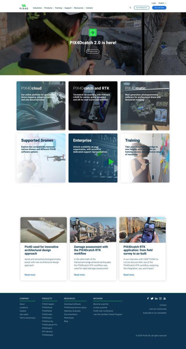
Another option is PIX4D, a full-featured photogrammetry software package. PIX4D offers image capture, processing and analysis tools to create maps and 3D models. It's good for drone-based mapping, precision agriculture and 3D scanning with smartphones. The software can be used in a variety of ways, with flexible processing options including desktop and cloud processing, and collaboration tools for surveying, architecture, engineering and construction professionals.
RealityCapture
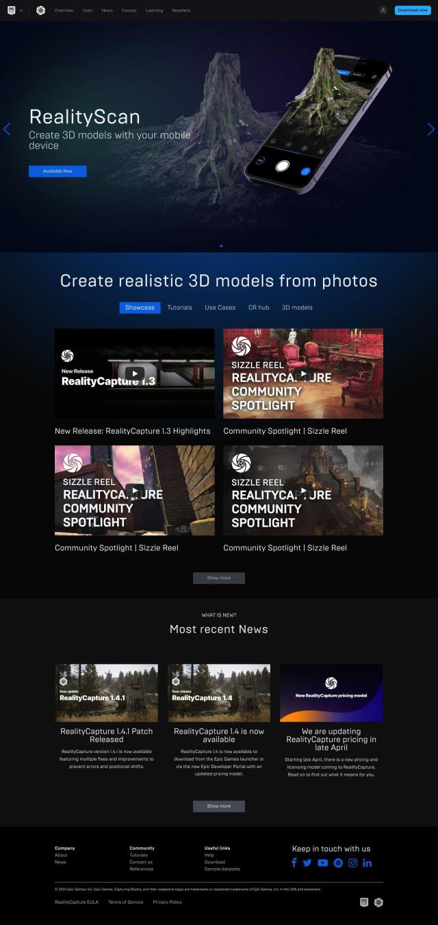
If you want a tool that will automatically generate textured 3D meshes and orthographic projections, RealityCapture is worth a look. It can handle multiple input formats and is good for generating detailed 3D models of historical sites and photorealistic scenery for video games and visual effects. RealityCapture has flexible pricing, including a free version and paid subscriptions, so it's good for pros and amateurs.

