Question: Is there a free online platform that provides interactive tools to track progress towards conservation goals?
SkyTruth
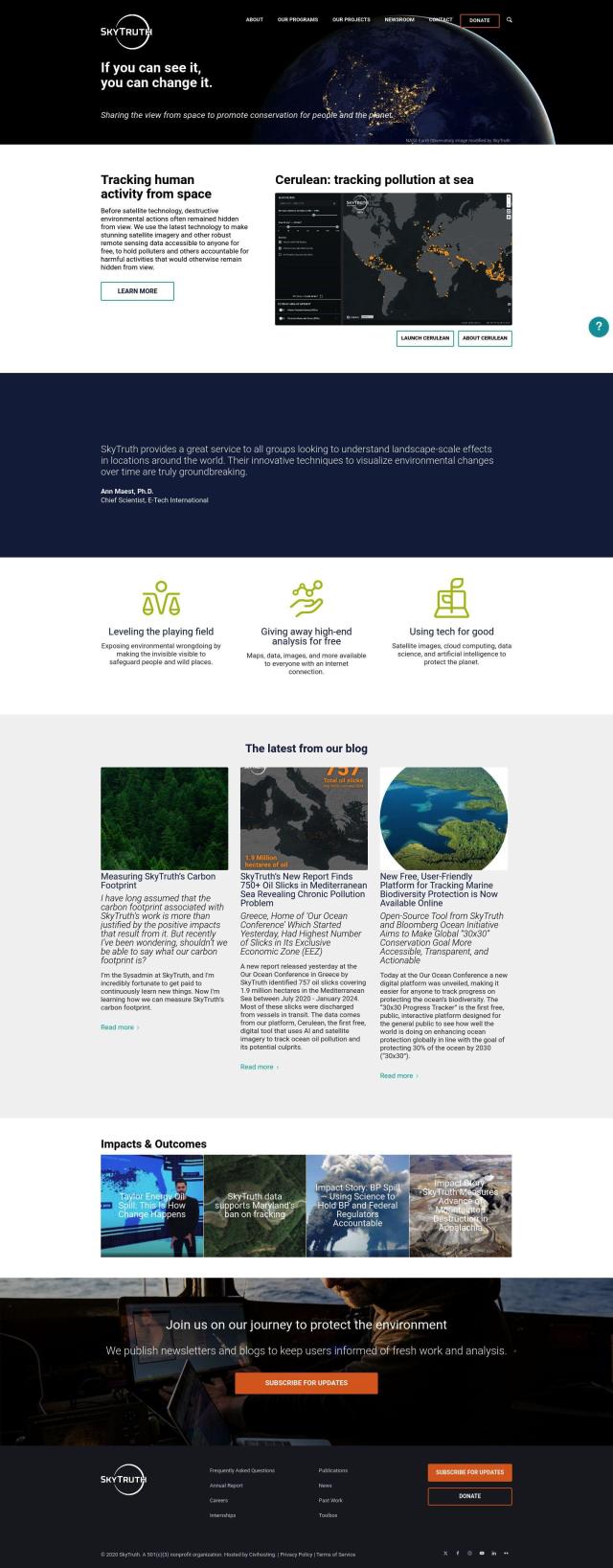
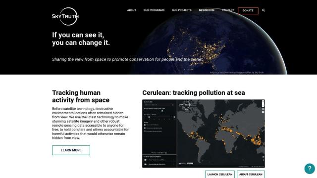
If you're looking for a free online platform that offers interactive tools to track progress toward conservation goals, SkyTruth is a great choice. It combines cutting-edge satellite technology and remote sensing data to monitor and track issues like ocean pollution, deforestation and oil spills. With tools like Cerulean for tracking ocean pollution and the 30x30 Progress Tracker, SkyTruth empowers people to track and respond to environmental issues.


EOSDA
Another interesting option is EOSDA, which offers geospatial data analytics with satellite imagery and machine learning algorithms. EOSDA offers tools for precision agriculture and forestry, including crop monitoring, yield forecasting and soil moisture analysis, all designed to promote sustainability and decision-making. This platform is geared for businesses seeking to improve their environmental performance.
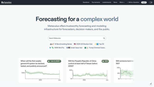
Metaculus
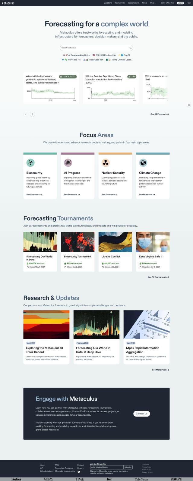
If you prefer a more community-based approach, check out Metaculus. The site lets people make predictions about real-world events, including climate change, biosecurity and AI progress. Forecasting tools and features like Forecasting Tournaments and Research & Updates can help people and organizations get a better handle on and prepare for environmental challenges.
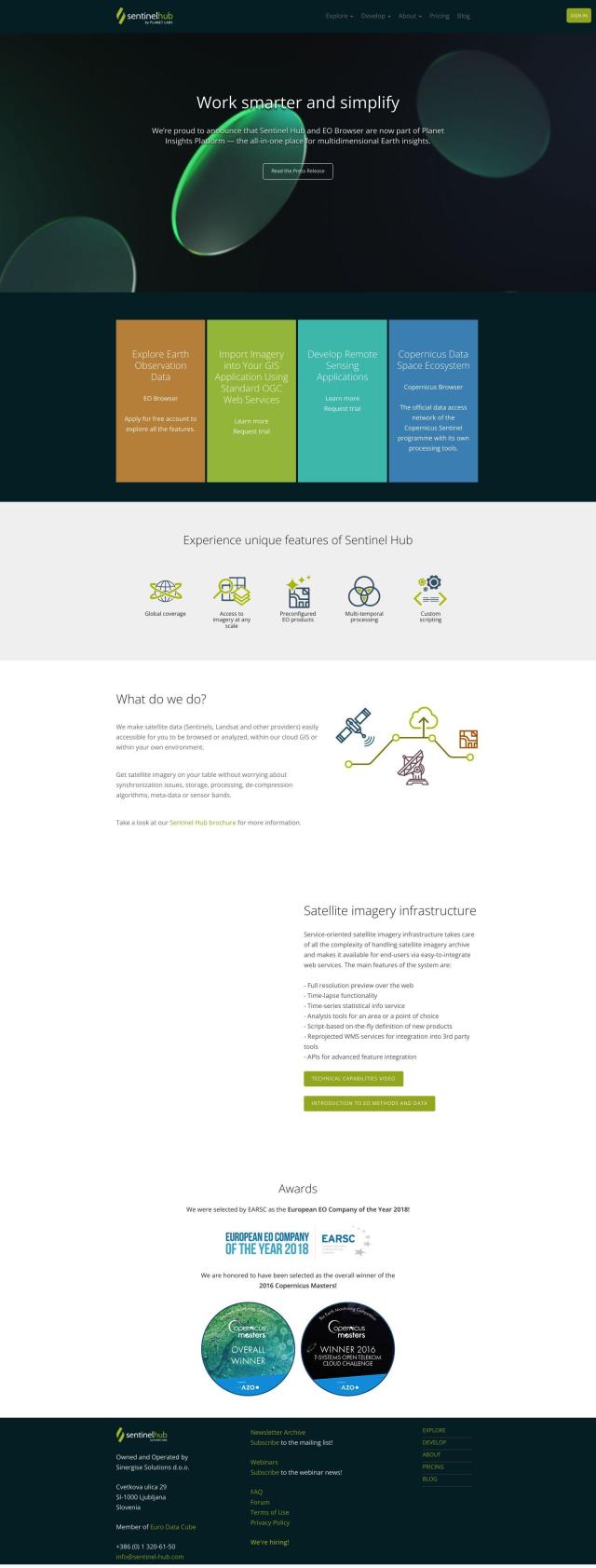
Sentinel Hub
Last, Sentinel Hub offers a cloud-based API that gives you access to satellite imagery from sources like Sentinels and Landsat. With tools like EO Browser for browsing and comparing images, Sentinel Hub makes it easier to analyze and visualize remote sensing data, a useful resource for conservation efforts.

