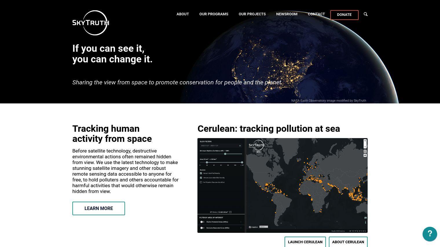
SkyTruth believes that the view from space is a powerful tool for conservation for people and the planet. By harnessing cutting-edge satellite technology, they provide beautiful satellite imagery and remote sensing data for free to anyone. This allows the public to hold polluters accountable for actions that otherwise would be invisible.
SkyTruth uses cutting-edge tools to monitor environmental activity, giving citizens, journalists, policymakers and others the ability to monitor and respond to issues like ocean pollution, deforestation and oil spills. Its work focuses on activities that can be detected by satellite sensors, including freshwater, oceans, climate and biodiversity.
Some examples of SkyTruth's work include:
- Cerulean: Monitors pollution in the ocean using artificial intelligence and satellite imagery to detect oil slicks and their likely source.
- 30x30 Progress Tracker: An interactive tool to track progress toward the goal of protecting 30% of the world's land and waters by 2030.
- Inambari: Uses machine learning to detect illegal gold mining in the Amazon, and offers a custom web mapping application for monitoring and enforcement.
- Mountaintop Removal Mining: Tracks the progression of coal mining and recovery of the landscape in Appalachia using advanced remote sensing techniques and ecological modeling.
- SkyTruth Alerts: A free mapping and monitoring tool that lets you view satellite imagery, add data layers to a map, and subscribe to email alerts for new environmental problems.
SkyTruth uses government satellites and partnerships with private companies to obtain satellite data, and all of its analysis, tools and databases are free. Funding comes from charitable foundations and individual donors who believe in its mission to make environmental data useful and accessible.
By offering high-end analysis tools for free, SkyTruth gives people and organizations the ability to take action to improve the environment, and it shows how technology can be used to advance conservation and accountability.
Published on July 27, 2024
Related Questions
Tool Suggestions
Analyzing SkyTruth...


