SkyTruth Alternatives

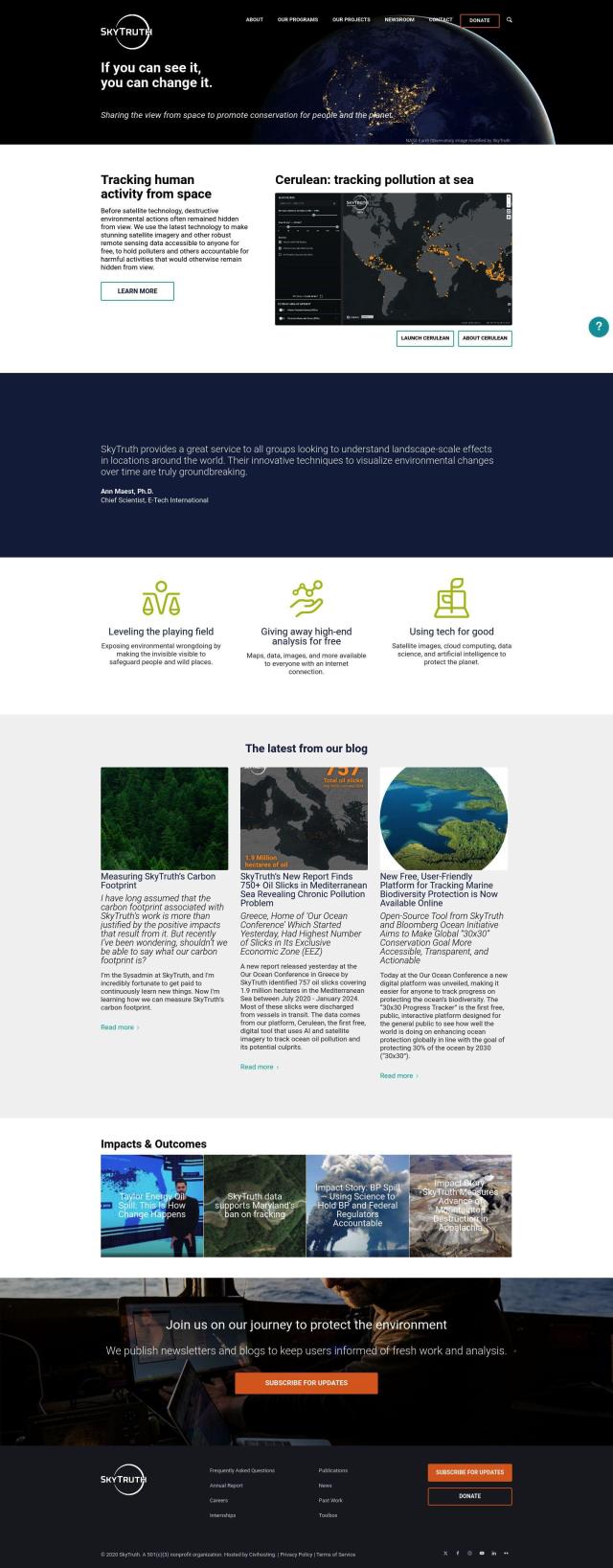
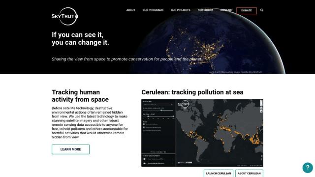
Leverages satellite imagery and AI to monitor environmental activity, empowering citizens and organizations to track and respond to issues like pollution, deforestation, and more.
EOSDA screenshot thumbnail

EOSDA

If you're looking for a SkyTruth alternative, EOSDA could be worth a look. The geospatial data analytics platform uses satellite imagery and machine learning algorithms to help companies and organizations make environmentally responsible decisions in areas like agriculture and forestry. It offers tools for crop monitoring, yield forecasting, soil moisture analysis and carbon modeling that can help businesses increase profits and reduce waste. EOSDA also offers high-resolution satellite imagery and GIS software for detailed land use analysis, and it's a practical and environmentally responsible option.

Nearmap screenshot thumbnail

Nearmap

Another option is Nearmap, a location intelligence platform that offers high-resolution imagery, 3D modeling and AI-generated datasets. It includes tools for environmental monitoring, such as near-infrared imagery, and post-catastrophe imagery for disaster response. Nearmap works with a range of customers, including governments and businesses, to help reduce risk, optimize operations and make decisions across a range of domains including urban planning, infrastructure and real estate.
Sentinel Hub screenshot thumbnail

Sentinel Hub

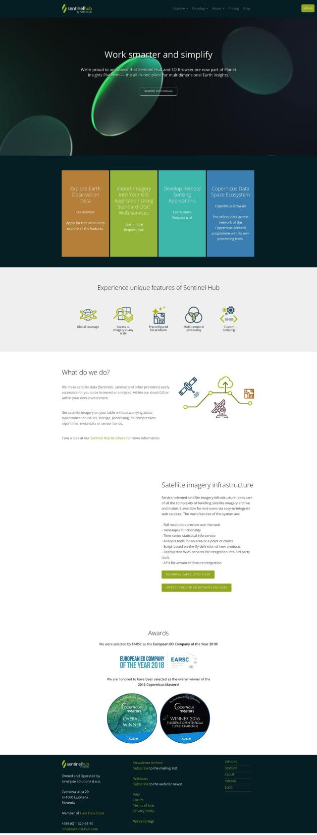
If you need a powerful API for satellite imagery, Sentinel Hub could be helpful. It's a cloud-based service that aggregates satellite imagery from sources like Sentinels and Landsat, providing a single interface for remote sensing tasks. The service includes tools like EO Browser for browsing and comparing full-resolution images, creating time-lapses and downloading high-resolution images and 3D visualizations. Sentinel Hub offers both free and paid tiers, so you can find a plan that suits your needs.

FlyPix screenshot thumbnail

FlyPix

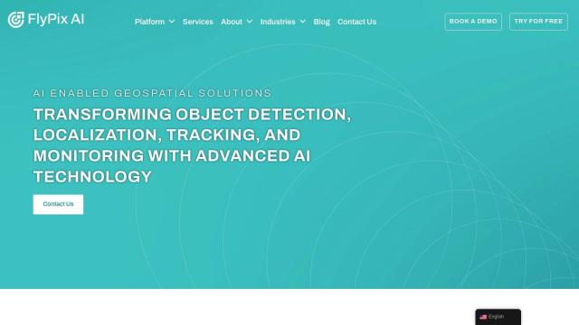
Last, you could look at FlyPix, an AI-powered geospatial solutions platform that transforms complex imagery into insights. It offers advanced AI models for object detection, localization, tracking and monitoring, and can be used in industries like government, agriculture and forestry. FlyPix has an intuitive interface for easy analysis and visualization, making it a good option for environmental monitoring and conservation.
More Alternatives to SkyTruth

Esri screenshot thumbnail

Esri

Uncover hidden patterns and drive predictive modeling with spatial analytics and machine learning, combining location-based data for innovative insights.

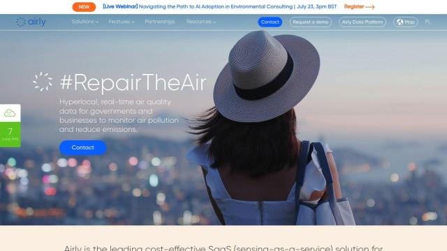
Airly screenshot thumbnail

Airly

Provides real-time hyperlocal air quality data, empowering governments and businesses to make data-driven decisions to decrease emissions and protect citizens' health.

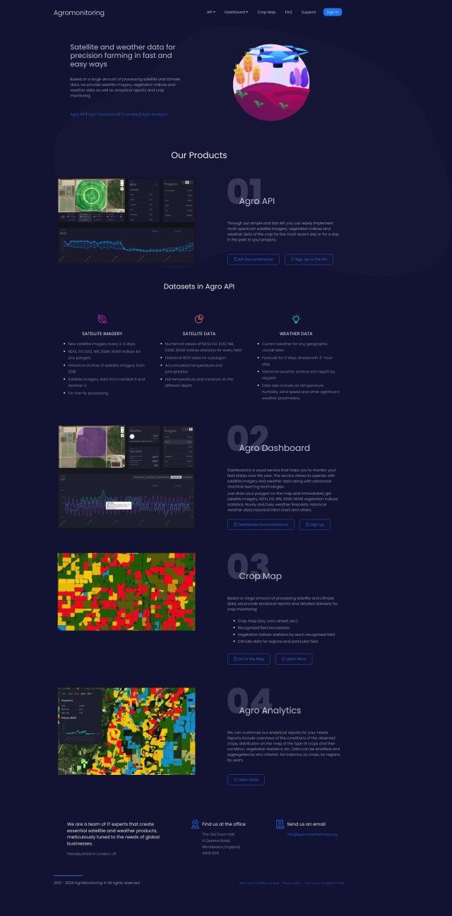
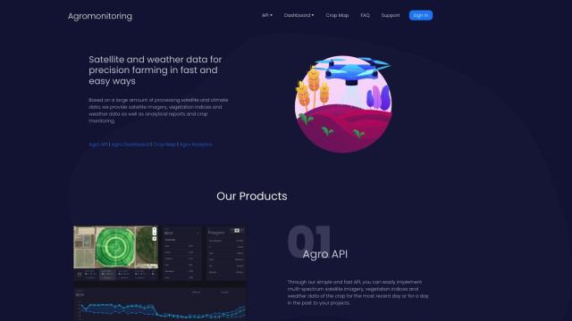
Agromonitoring screenshot thumbnail

Agromonitoring

Provides precision farming insights through satellite imagery, vegetation indices, and weather data, empowering data-driven crop management and decision-making.

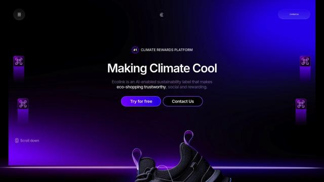
Ecolink screenshot thumbnail

Ecolink

Generates immersive sustainability labels with AI-powered product data, GPS coordinates, and storytelling, empowering eco-friendly purchasing and customer loyalty.

Ambient.ai screenshot thumbnail

Ambient.ai

Automatically detects potential threats and verifies them visually in real-time, enabling proactive security and reducing response time.

Earth Engine Apps screenshot thumbnail

Earth Engine Apps

Interactive, publicly accessible apps for Earth Engine analysis, enabling non-experts to easily explore and visualize Earth observation data and tools.

Elastic screenshot thumbnail

Elastic

Combines search and AI to extract meaningful insights from data, accelerating time to insight and enabling tailored experiences.

Overwatch screenshot thumbnail

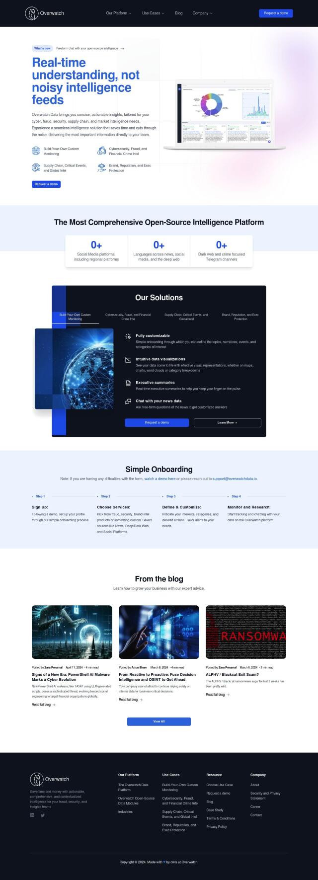
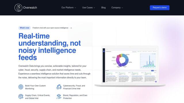
Overwatch

Unifies intelligence feeds into a customizable, real-time operating system, providing intuitive visualizations and executive summaries to help organizations make informed decisions.

Mapbox screenshot thumbnail

Mapbox

Create customizable, interactive maps with live-updating data and advanced navigation features for web, mobile, automotive, and AR applications.

Flock Safety screenshot thumbnail

Flock Safety

Combines License Plate Recognition, gunshot detection, and video intelligence to provide law enforcement agencies and communities with a comprehensive crime-solving platform.

Skydio screenshot thumbnail

Skydio

Capture detailed data in challenging environments with AI-powered autonomous drones, featuring ultra-high resolution cameras and obstacle avoidance.

DroneDeploy screenshot thumbnail

DroneDeploy

Combines data from multiple sources, including drones and cameras, into one platform, automating capture and extracting insights with AI for informed decision-making.

VelocityEHS screenshot thumbnail

VelocityEHS

Leverage AI-powered predictive capabilities to anticipate EHS & ESG problems, prevent errors, and protect the bottom line with global visibility and expert guidance.

C3 AI screenshot thumbnail

C3 AI

Access a broad range of pre-built, enterprise-scale AI applications across industries, accelerating digital transformation and delivering results in weeks.

Meteomatics screenshot thumbnail

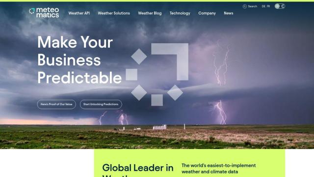
Meteomatics

Access global high-resolution weather, ocean, environment, and climate data through a comprehensive API, including historical, real-time, and forecast data up to 2100.

Anduril screenshot thumbnail

Anduril

Delivers advanced awareness and security to the tactical edge through autonomous systems, combining AI and open operating systems for persistent threat detection and response.

PIX4D screenshot thumbnail

PIX4D

Converts images into accurate maps and 3D models for analysis, inspections, and measurements, with survey-grade accuracy and georeferencing.

MapmyIndia screenshot thumbnail

MapmyIndia

Seamlessly navigate and optimize last-mile operations with integrated navigation, route planning, and location intelligence solutions powered by India's best maps.