Question: I need a solution that uses satellite technology to monitor and respond to illegal activities like gold mining and coal mining, and provides customizable mapping applications for enforcement.

SkyTruth screenshot thumbnail

SkyTruth

For monitoring and enforcement of illegal activities such as gold mining and coal mining, SkyTruth has a powerful tool. It combines satellite imagery and remote sensing data to monitor and expose environmental problems like illegal gold mining in the Amazon through Inambari and coal mining in Appalachia through Mountaintop Removal Mining. SkyTruth offers free satellite imagery and advanced monitoring tools, making it a great resource for conservation and enforcement efforts.

FlyPix screenshot thumbnail

FlyPix

Another interesting project is FlyPix, an AI geospatial solutions platform that transforms complex imagery into useful information. It includes features like AI-based object detection, localization and dynamic tracking that can be very useful for monitoring and enforcement of illegal mining. FlyPix serves many industries, including mining, so it can be adapted flexibly to enforcement needs.
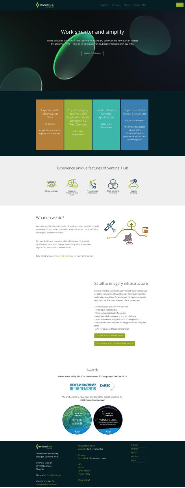
Sentinel Hub screenshot thumbnail

Sentinel Hub

For a more technical approach, Sentinel Hub is a cloud-based API that accesses satellite imagery from sources like Sentinels and Landsat. It includes tools like EO Browser for exploring and comparing high-resolution imagery, creating time-lapses and statistical information services. It's geared for serious analysis and reporting, so it's a good choice for serious monitoring and enforcement of illegal mining.

Esri screenshot thumbnail

Esri

Last, Esri is GIS mapping software and spatial analytics tools that combines location intelligence and machine learning. It's used in many industries and applications, including environmental monitoring and enforcement. With tools like 3D visualization, location intelligence and spatial analysis, Esri can provide detailed insights and real-time decision support to help authorities respond to illegal mining.

Additional AI Projects

Nearmap screenshot thumbnail

Nearmap

Transforms high-resolution aerial imagery into actionable insights with AI predictions, 3D modeling, and geospatial tools for informed business decisions.

EOSDA screenshot thumbnail

EOSDA

Utilizes satellite data and machine learning to provide actionable insights for sustainable agriculture and forestry, enabling data-driven decision making and reduced waste.

Mapbox screenshot thumbnail

Mapbox

Create customizable, interactive maps with live-updating data and advanced navigation features for web, mobile, automotive, and AR applications.

Flock Safety screenshot thumbnail

Flock Safety

Combines License Plate Recognition, gunshot detection, and video intelligence to provide law enforcement agencies and communities with a comprehensive crime-solving platform.

Anduril screenshot thumbnail

Anduril

Delivers advanced awareness and security to the tactical edge through autonomous systems, combining AI and open operating systems for persistent threat detection and response.

MapmyIndia screenshot thumbnail

MapmyIndia

Seamlessly navigate and optimize last-mile operations with integrated navigation, route planning, and location intelligence solutions powered by India's best maps.

Radar screenshot thumbnail

Radar

Radar combines geofencing, geocoding, and mapping for accurate, cost-effective location-based experiences.

SoundThinking screenshot thumbnail

SoundThinking

Real-time gunshot detection, crime analysis, and resource deployment tools enable law enforcement to respond quickly and effectively to high-priority situations.

Overwatch screenshot thumbnail

Overwatch

Unifies intelligence feeds into a customizable, real-time operating system, providing intuitive visualizations and executive summaries to help organizations make informed decisions.

OnSolve screenshot thumbnail

OnSolve

Identify threats in real-time with AI-powered detection, and respond quickly with precision, reducing risk and ensuring timely action.

AIM screenshot thumbnail

AIM

Converts heavy equipment into autonomous machines, increasing productivity and safety, with 24/7 operation, 360-degree safety, and no risk of human error.

Intrado screenshot thumbnail

Intrado

Enhance emergency response with AI-powered PSAP solutions, improving team performance and decision-making for faster, more accurate connections between callers and responders.

Geotab screenshot thumbnail

Geotab

Leverage AI-driven insights and recommendations to optimize fleet operations, improve safety, and reduce emissions, while automating compliance and increasing productivity.

Trackunit screenshot thumbnail

Trackunit

Connects people, machines, and processes to minimize downtime, optimize operations, and increase productivity in the construction industry.

Cawamo screenshot thumbnail

Cawamo

Turns existing cameras into smart tools with multi-level AI video analytics, detecting people, vehicles, fires, and more, enhancing security and business intelligence.

March Networks screenshot thumbnail

March Networks

Combines advanced video and data analytics to improve operational efficiency, protect assets, and drive business growth.

Ambient.ai screenshot thumbnail

Ambient.ai

Automatically detects potential threats and verifies them visually in real-time, enabling proactive security and reducing response time.

LiveSafe screenshot thumbnail

LiveSafe

AI-powered reporting tools overcome barriers to incident reporting, providing prescriptive guidance and intelligent routing for enhanced safety and security.

Mappedin screenshot thumbnail

Mappedin

Create interactive 3D indoor maps with AI-assisted tools, automated navigation, and content enrichment, and share them across various devices and formats.

Samsara screenshot thumbnail

Samsara

Samsara's fleet operations platform connects cameras, sensors, and workflows for faster, more confident decisions.