Question: Need a tool to browse and compare full-resolution satellite imagery from different data sets, do you know of any?
Sentinel Hub screenshot thumbnail

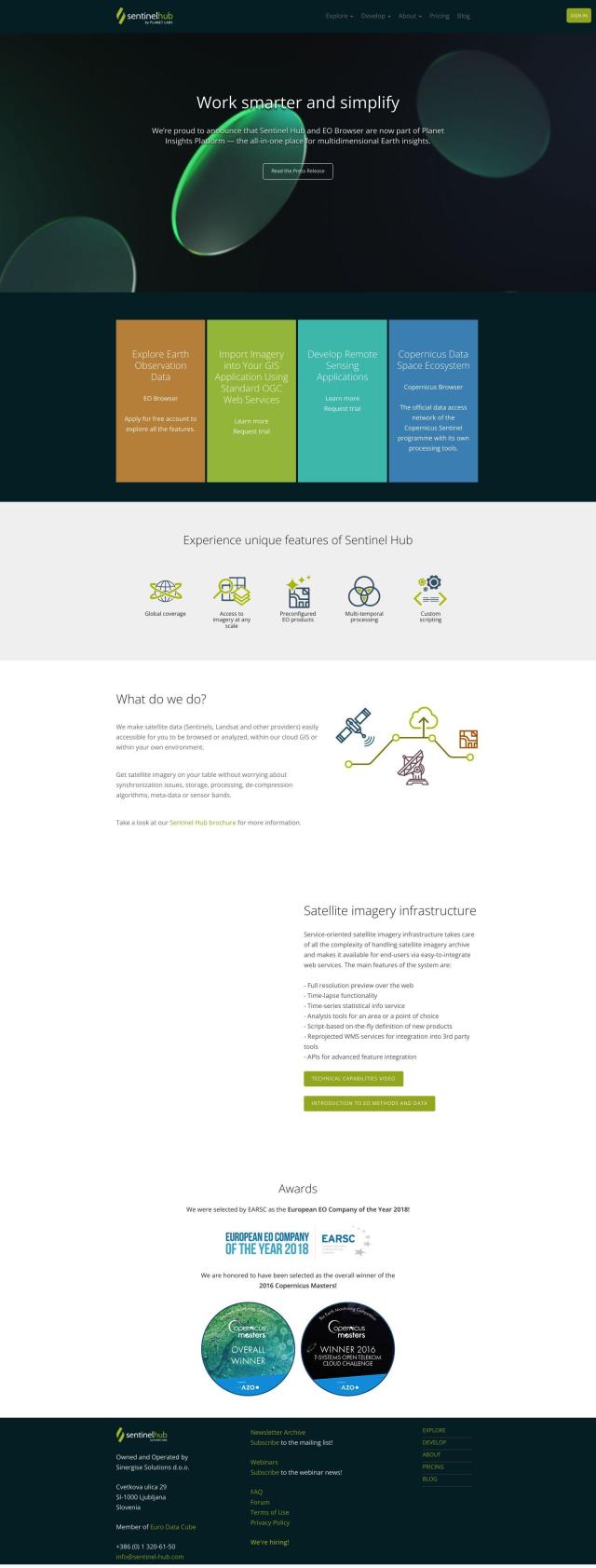
Sentinel Hub

If you need a more general-purpose interface to browse and compare full-resolution satellite imagery, Sentinel Hub is a great option. It provides a cloud-based API, including the EO Browser interface that lets you browse, compare and download high-resolution imagery and 3D views. The service also includes tools for time-lapses and statistical information services, too, so it's good for a wide range of remote sensing tasks.

Nearmap screenshot thumbnail

Nearmap

Another good option is Nearmap, a location intelligence service that offers high-resolution imagery and 3D modeling. It's geared for businesses, communities and governments that need up-to-date views from many angles, detailed 3D modeling and AI-generated data sets for attributes like property size and type. It's good for urban planning, environmental assessments and disaster response.
Earth Engine Apps screenshot thumbnail

Earth Engine Apps

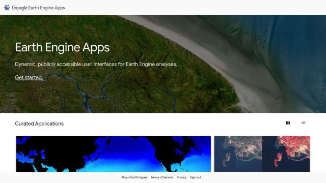
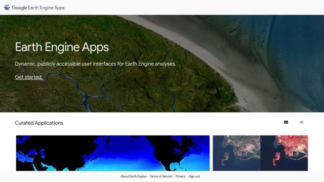
If you want to tap into Earth Engine data sets without a lot of programming, Earth Engine Apps offers a collection of interactive user interfaces. There are apps like Linked Maps for panning and zooming multiple Landsat views, Split Panel for comparing two maps, and the Global Population Explorer for exploring global population data. The apps are a good way to get a handle on lots of Earth Engine data sets without having to dig into programming details.

Additional AI Projects

EOSDA screenshot thumbnail

EOSDA

Utilizes satellite data and machine learning to provide actionable insights for sustainable agriculture and forestry, enabling data-driven decision making and reduced waste.

Esri screenshot thumbnail

Esri

Uncover hidden patterns and drive predictive modeling with spatial analytics and machine learning, combining location-based data for innovative insights.
Agromonitoring screenshot thumbnail

Agromonitoring

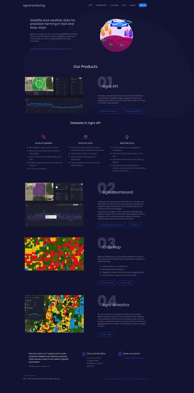
Provides precision farming insights through satellite imagery, vegetation indices, and weather data, empowering data-driven crop management and decision-making.

PIX4D screenshot thumbnail

PIX4D

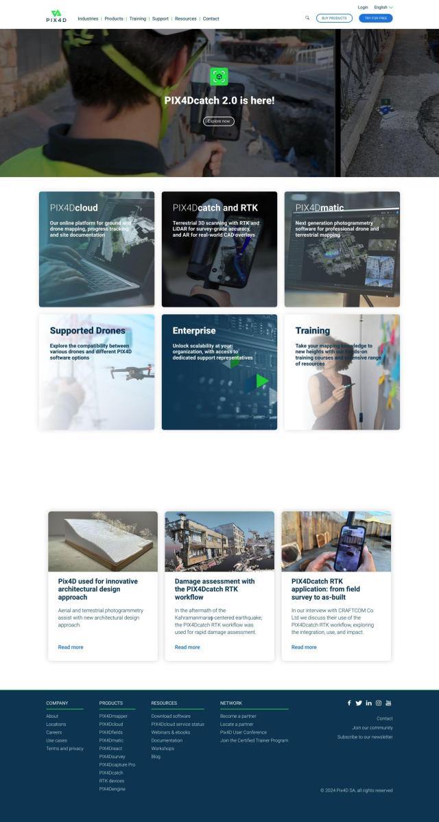
Converts images into accurate maps and 3D models for analysis, inspections, and measurements, with survey-grade accuracy and georeferencing.

DroneDeploy screenshot thumbnail

DroneDeploy

Combines data from multiple sources, including drones and cameras, into one platform, automating capture and extracting insights with AI for informed decision-making.

Google Maps Platform screenshot thumbnail

Google Maps Platform

Unlock location-based insights and enhance user experiences with customizable, real-time maps, routes, and geospatial data for informed decision-making.

Mapbox screenshot thumbnail

Mapbox

Create customizable, interactive maps with live-updating data and advanced navigation features for web, mobile, automotive, and AR applications.

CARTO screenshot thumbnail

CARTO

Analyze and visualize spatial data at any scale with native cloud integration, intuitive drag-and-drop interface, and built-in GenAI capabilities.

Hexagon screenshot thumbnail

Hexagon

Combines sensor, software, and autonomous technologies to increase efficiency, reduce waste, and improve sustainability across industries through data-driven digital reality solutions.

Unearth Insights screenshot thumbnail

Unearth Insights

Access a unified suite of location data and analytics tools, powered by an AI co-pilot, to uncover insights and drive business decisions faster.

Meteomatics screenshot thumbnail

Meteomatics

Access global high-resolution weather, ocean, environment, and climate data through a comprehensive API, including historical, real-time, and forecast data up to 2100.

Imagga screenshot thumbnail

Imagga

Automatically tag, categorize, and search images with customizable machine learning technology for smart applications.

Visionati screenshot thumbnail

Visionati

Analyze visual content with AI-driven image captioning, smart tagging, and content filtering, unlocking actionable insights for digital marketing and data analysis.

Data Commons screenshot thumbnail

Data Commons

Aggregates and makes accessible 240 billion data points from 193 countries, providing graphical exploration and download tools for complex data analysis.

LandingLens screenshot thumbnail

LandingLens

Unlock insights from unlabeled images, achieve accurate results, and deploy computer vision models flexibly and scalably across industries.

HEAVY.AI screenshot thumbnail

HEAVY.AI

Unlocks high-value opportunities and risks in location and time data through interactive, timely, and hardware-accelerated analytics.

Radar screenshot thumbnail

Radar

Radar combines geofencing, geocoding, and mapping for accurate, cost-effective location-based experiences.

Spatial.ai screenshot thumbnail

Spatial.ai

Unlock deeper customer insights with behavioral segmentation tools, profiling social, mobile, and web behavior to inform targeted marketing and location strategies.

Mappedin screenshot thumbnail

Mappedin

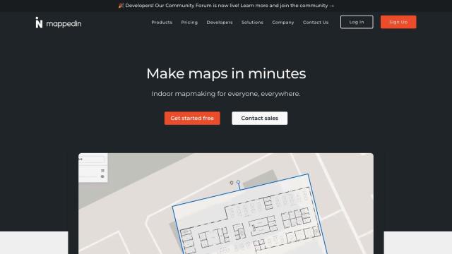
Create interactive 3D indoor maps with AI-assisted tools, automated navigation, and content enrichment, and share them across various devices and formats.

Hex screenshot thumbnail

Hex

Unify data teams with AI-assisted exploration, collaboration, and interactive reporting, accelerating data work and improving accuracy in a single, modular workspace.

Neuraspace screenshot thumbnail

Neuraspace

Automatically assesses risks and suggests maneuvers up to 5 days before a conjunction, enabling earlier identification of high-risk collisions and more efficient operations.