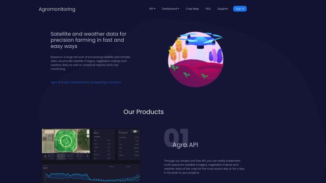
Agromonitoring Alternatives

Provides precision farming insights through satellite imagery, vegetation indices, and weather data, empowering data-driven crop management and decision-making.
EOSDA screenshot thumbnail

EOSDA

If you're looking for something different than Agromonitoring, EOSDA is a geospatial data analytics platform that combines satellite imagery and machine learning to help with agriculture and forestry. EOSDA has tools for crop monitoring, yield forecasting, and soil moisture analysis that can help you make money and cut waste. It also offers high-resolution satellite imagery and GIS software, so it's a good option if you want something that's practical and sustainable.
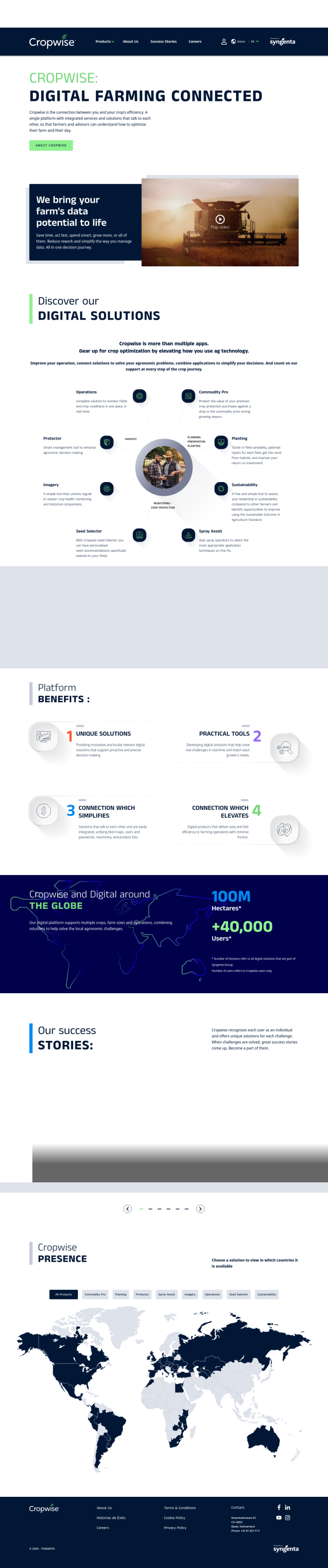
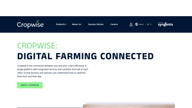
Cropwise screenshot thumbnail

Cropwise

Another powerful option is Cropwise, a digital platform that helps optimize farm operations with tools like real-time field monitoring, crop health monitoring, agronomic decision-making tools and sustainability assessments. Cropwise empowers farmers and advisors to make better decisions, increase crop yields and reduce rework, all while optimizing farm operations and improving efficiency.
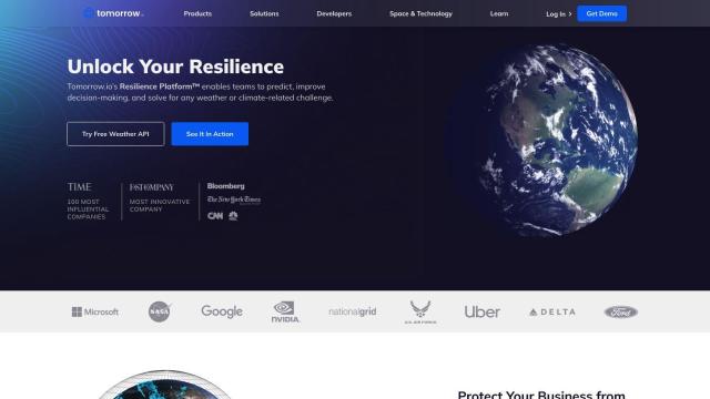
Tomorrow.io screenshot thumbnail

Tomorrow.io

If you want to incorporate advanced weather data into your operations, Tomorrow.io offers hyper-accurate forecasts and real-time data to help companies weather the weather. The platform includes features like probabilistic forecasting, generative AI for weather outlooks and automated protocols, so it's a good option for optimizing operations and building long-term resilience to climate uncertainty.

Esri screenshot thumbnail

Esri

And Esri has powerful GIS mapping software and spatial analytics tools that can give you location intelligence and competitive advantage. Its platform includes 3D visualization, spatial analysis and data science tools for real-time decision-making and predictive modeling across many industries, including agriculture. That can be useful if you're dealing with a lot of data collection and management in an agricultural setting.

More Alternatives to Agromonitoring

ePlant screenshot thumbnail

ePlant

Remotely monitor tree health and environmental conditions with long-range wireless sensors, tracking growth, stress, and weather patterns for data-driven decisions.

Nearmap screenshot thumbnail

Nearmap

Transforms high-resolution aerial imagery into actionable insights with AI predictions, 3D modeling, and geospatial tools for informed business decisions.

Hexagon screenshot thumbnail

Hexagon

Combines sensor, software, and autonomous technologies to increase efficiency, reduce waste, and improve sustainability across industries through data-driven digital reality solutions.

CARTO screenshot thumbnail

CARTO

Analyze and visualize spatial data at any scale with native cloud integration, intuitive drag-and-drop interface, and built-in GenAI capabilities.

Atmo screenshot thumbnail

Atmo

Produces high-resolution, real-time weather forecasts with up to 50% greater accuracy and 40,000 times faster processing than traditional models.

AI Clearing screenshot thumbnail

AI Clearing

Generates 3D site reports with 100% site coverage, providing accurate and efficient progress monitoring, reducing re-work costs and litigation risks.

MachineMetrics screenshot thumbnail

MachineMetrics

Unlocks hidden production capacity and optimizes machine performance through real-time data analytics and automated insights, enabling informed decisions and improved factory efficiency.

Spotfire screenshot thumbnail

Spotfire

Integrate, prepare, analyze, and act on data from multiple sources with a single platform for real-time data exploration and point-and-click data science.

SensorsData screenshot thumbnail

SensorsData

Unify customer data in real-time to create personalized experiences, drive business results, and make data-driven decisions with advanced product analytics.

Encord screenshot thumbnail

Encord

Streamline computer vision development with automated labeling, data management, and model testing tools to build more accurate models faster.

CivicScience screenshot thumbnail

CivicScience

Uncover emerging trends, forecast outcomes, and identify persuadable customers with AI-driven insights from a vast pool of consumer behavior and preference data.

Spatial.ai screenshot thumbnail

Spatial.ai

Unlock deeper customer insights with behavioral segmentation tools, profiling social, mobile, and web behavior to inform targeted marketing and location strategies.

C3 AI screenshot thumbnail

C3 AI

Access a broad range of pre-built, enterprise-scale AI applications across industries, accelerating digital transformation and delivering results in weeks.

data.ai screenshot thumbnail

data.ai

Combines data from multiple signals to provide unified insights, enabling fast and confident decision-making across the entire app lifecycle.

Pl@ntNet screenshot thumbnail

Pl@ntNet

Identify plants from photos using image recognition technology, and contribute to biodiversity research by reporting observations and exploring species near your location.

Market Logic screenshot thumbnail

Market Logic

Unify insights data and knowledge through a single AI-powered gateway, providing universal access to real-time market and consumer insights for data-driven decisions.

Elastic screenshot thumbnail

Elastic

Combines search and AI to extract meaningful insights from data, accelerating time to insight and enabling tailored experiences.

Tempest screenshot thumbnail

Tempest

Provides hyperlocal, AI-driven weather forecasts with guaranteed accuracy, empowering informed decisions for daily life and business operations.

GoodData screenshot thumbnail

GoodData

Quickly build custom data products with interactive analytics abilities, leveraging AI-powered features like a no-code interface and chat assistant for effortless insights.

DroneDeploy screenshot thumbnail

DroneDeploy

Combines data from multiple sources, including drones and cameras, into one platform, automating capture and extracting insights with AI for informed decision-making.