Question: Do you know of any tools that combine location intelligence with machine learning for real-time decision-making?

Esri screenshot thumbnail

Esri

Esri has a full-featured GIS mapping software and spatial analytics platform that combines location analytics and machine learning. It offers 3D visualization, GIS mapping, spatial analysis and real-time decision-making abilities, and is used in many industries including retail, asset management and infrastructure planning. The platform can run on cloud infrastructure or on-premise, and offers a 21-day free trial along with a wealth of training materials.

CARTO screenshot thumbnail

CARTO

Another option is CARTO, a cloud-native location intelligence platform that makes it easier to analyze and visualize spatial data at large scale. CARTO is designed to scale and offers a drag-and-drop interface, built-in GenAI abilities and rich data visualization. It integrates with leading cloud platforms and comes with more than 12,000 geospatial datasets, making it a good fit for companies that want to use location intelligence to drive business insights and decision-making.

Nearmap screenshot thumbnail

Nearmap

And Nearmap offers high-resolution imagery, 3D modeling and AI predictions to help you make decisions. Its proprietary aerial imagery and AI-generated data products can be used for urban planning, environmental monitoring and emergency response. Nearmap is used by insurance, commercial and government customers, who can use it to reduce risk and improve operations.

Mapbox screenshot thumbnail

Mapbox

For customizable maps and advanced navigation, Mapbox offers APIs and SDKs to build interactive maps that update with live data. It's got advanced routing engines and precise location search, which makes it good for connected navigation, weather forecasting and data analysis. Mapbox allows for a lot of customization and integration of custom data, and offers a free tier and volume discounts for heavy usage.

Additional AI Projects

INRIX screenshot thumbnail

INRIX

Harnesses 50 petabytes of transportation data to provide real-time traffic insights, crash alerts, and parking analytics, optimizing urban mobility and road safety.

MapmyIndia screenshot thumbnail

MapmyIndia

Seamlessly navigate and optimize last-mile operations with integrated navigation, route planning, and location intelligence solutions powered by India's best maps.

Spatial.ai screenshot thumbnail

Spatial.ai

Unlock deeper customer insights with behavioral segmentation tools, profiling social, mobile, and web behavior to inform targeted marketing and location strategies.

Radar screenshot thumbnail

Radar

Radar combines geofencing, geocoding, and mapping for accurate, cost-effective location-based experiences.

Placekey screenshot thumbnail

Placekey

Assigns a unique identifier to any physical location, standardizing address information for easy data sharing and integration across organizations.

Unearth Insights screenshot thumbnail

Unearth Insights

Access a unified suite of location data and analytics tools, powered by an AI co-pilot, to uncover insights and drive business decisions faster.

Hexagon screenshot thumbnail

Hexagon

Combines sensor, software, and autonomous technologies to increase efficiency, reduce waste, and improve sustainability across industries through data-driven digital reality solutions.

Geotab screenshot thumbnail

Geotab

Leverage AI-driven insights and recommendations to optimize fleet operations, improve safety, and reduce emissions, while automating compliance and increasing productivity.

Dataiku screenshot thumbnail

Dataiku

Systemize data use for exceptional business results with a range of features supporting Generative AI, data preparation, machine learning, MLOps, collaboration, and governance.
Scale screenshot thumbnail

Scale

Provides high-quality, cost-effective training data for AI models, improving performance and reliability across various industries and applications.

ThoughtSpot screenshot thumbnail

ThoughtSpot

Ask complex data questions in natural language and get instant AI-powered insights, empowering informed business decisions without requiring SQL or data expertise.

PubNub screenshot thumbnail

PubNub

Connect devices, humans, and AI systems for real-time interactions across various use cases.

AI Clearing screenshot thumbnail

AI Clearing

Generates 3D site reports with 100% site coverage, providing accurate and efficient progress monitoring, reducing re-work costs and litigation risks.

AdTheorent screenshot thumbnail

AdTheorent

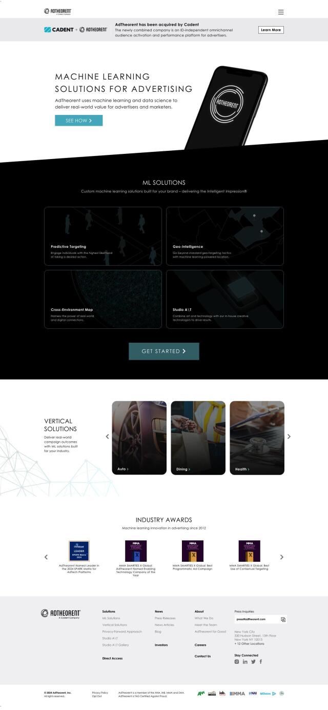
Delivers tailored results through predictive targeting, geo-intelligence, and cross-environment mapping, driving real-world value for advertisers across various industries.

Spotfire screenshot thumbnail

Spotfire

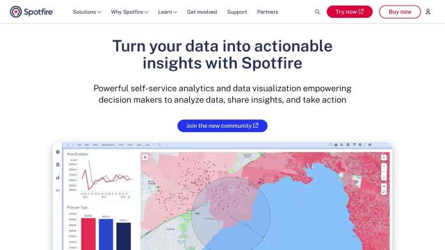
Integrate, prepare, analyze, and act on data from multiple sources with a single platform for real-time data exploration and point-and-click data science.

Abacus.AI screenshot thumbnail

Abacus.AI

Build and deploy custom AI agents and systems at scale, leveraging generative AI and novel neural network techniques for automation and prediction.

Rapid Editor screenshot thumbnail

Rapid Editor

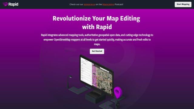
Automates map creation and updates using machine learning and satellite imagery, reducing manual effort and increasing accuracy.

Elastic screenshot thumbnail

Elastic

Combines search and AI to extract meaningful insights from data, accelerating time to insight and enabling tailored experiences.

Vespa screenshot thumbnail

Vespa

Combines search in structured data, text, and vectors in one query, enabling scalable and efficient machine-learned model inference for production-ready applications.

Obviously AI screenshot thumbnail

Obviously AI

Automate data science tasks to build and deploy industry-leading predictive models in minutes, without coding, for classification, regression, and time series forecasting.