Question: Can you recommend a platform that provides accurate location intelligence for improving curbside pickup and delivery operations?


Flybuy screenshot thumbnail

Flybuy

For optimizing curbside pickup and delivery, Flybuy is a great platform to evaluate. It combines proprietary machine-learning algorithms with location intelligence for high accuracy, using real-time traffic data and mobile sensor data to pinpoint the customer location and optimize service. Flybuy is used in more than 50 countries and 30,000 locations by restaurants, grocery, retail, convenience stores and hotels, and offers a range of features for curbside pickup and other business needs.

Bluedot screenshot thumbnail

Bluedot

Another good option is Bluedot, which uses geofencing to improve customer interactions and curbside pickup. It offers smart messaging, automated mobile order check-ins and personalized real-time location insights. Bluedot is geared for quick service restaurants and retail, but it can handle unlimited locations and millions of daily users. That means it can be used to personalize customer interactions without a hitch.

CARTO screenshot thumbnail

CARTO

If you want a platform that can handle sophisticated spatial data analysis to optimize curbside pickup and delivery, CARTO is a cloud-native location intelligence platform. It lets customers analyze and visualize spatial data at large scale without duplication, with an interface that's easy to use with drag-and-drop tools and more than 100 pre-built analysis components. CARTO supports app development and is enterprise-class with serious security and flexible pricing.

DispatchTrack screenshot thumbnail

DispatchTrack

For more advanced last-mile delivery management, DispatchTrack offers AI-powered route optimization, real-time order tracking and automated customer communication. The platform helps businesses optimize delivery routes, keep customers better informed and speed up delivery times. It's a good option for businesses that want to improve their curbside pickup and delivery.

Additional AI Projects

Mapbox screenshot thumbnail

Mapbox

Create customizable, interactive maps with live-updating data and advanced navigation features for web, mobile, automotive, and AR applications.

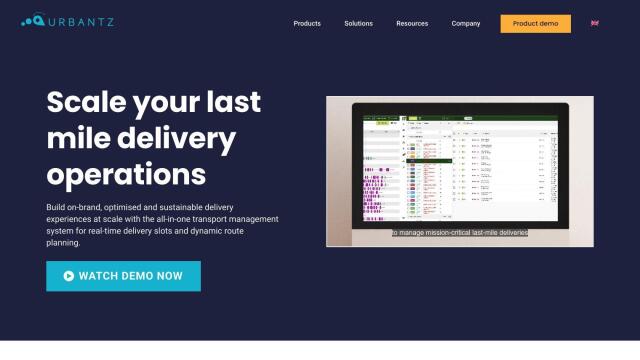
Urbantz screenshot thumbnail

Urbantz

Optimizes last mile logistics with AI-driven route planning, real-time delivery slots, and multi-carrier management to increase successful deliveries and customer satisfaction.

Esri screenshot thumbnail

Esri

Uncover hidden patterns and drive predictive modeling with spatial analytics and machine learning, combining location-based data for innovative insights.

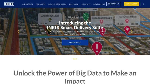
INRIX screenshot thumbnail

INRIX

Harnesses 50 petabytes of transportation data to provide real-time traffic insights, crash alerts, and parking analytics, optimizing urban mobility and road safety.

Radar screenshot thumbnail

Radar

Radar combines geofencing, geocoding, and mapping for accurate, cost-effective location-based experiences.

MapmyIndia screenshot thumbnail

MapmyIndia

Seamlessly navigate and optimize last-mile operations with integrated navigation, route planning, and location intelligence solutions powered by India's best maps.

Geotab screenshot thumbnail

Geotab

Leverage AI-driven insights and recommendations to optimize fleet operations, improve safety, and reduce emissions, while automating compliance and increasing productivity.

Omnitracs screenshot thumbnail

Omnitracs

Combines fleet management expertise with AI and machine learning to provide actionable insights, optimize business performance, and improve driver satisfaction and safety.

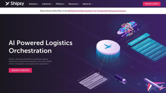
Shipsy screenshot thumbnail

Shipsy

Optimizes end-to-end logistics and supply chain operations with automated route planning, freight procurement, and shipment tracking for improved efficiency and cost reduction.

Placekey screenshot thumbnail

Placekey

Assigns a unique identifier to any physical location, standardizing address information for easy data sharing and integration across organizations.

Spatial.ai screenshot thumbnail

Spatial.ai

Unlock deeper customer insights with behavioral segmentation tools, profiling social, mobile, and web behavior to inform targeted marketing and location strategies.

Unearth Insights screenshot thumbnail

Unearth Insights

Access a unified suite of location data and analytics tools, powered by an AI co-pilot, to uncover insights and drive business decisions faster.

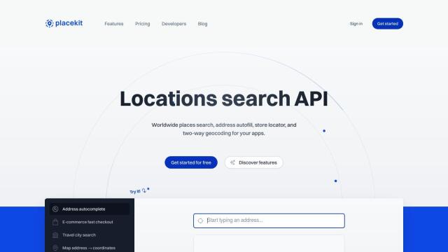
PlaceKit screenshot thumbnail

PlaceKit

Fast, accurate, and global address search with autocomplete, geocoding, and store locator features for seamless user experiences and efficient address management.

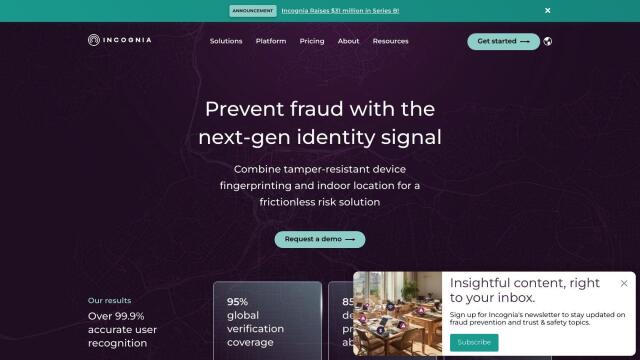
Incognia screenshot thumbnail

Incognia

Combines persistent device fingerprinting and indoor location intelligence to provide a frictionless risk solution, preventing fraud and reducing false positives.

Taptap Digital screenshot thumbnail

Taptap Digital

Combines advanced location intelligence and contextual relevance to predict audience affinity and reach ideal customers with granular precision and broadcast scale.

AI Clearing screenshot thumbnail

AI Clearing

Generates 3D site reports with 100% site coverage, providing accurate and efficient progress monitoring, reducing re-work costs and litigation risks.

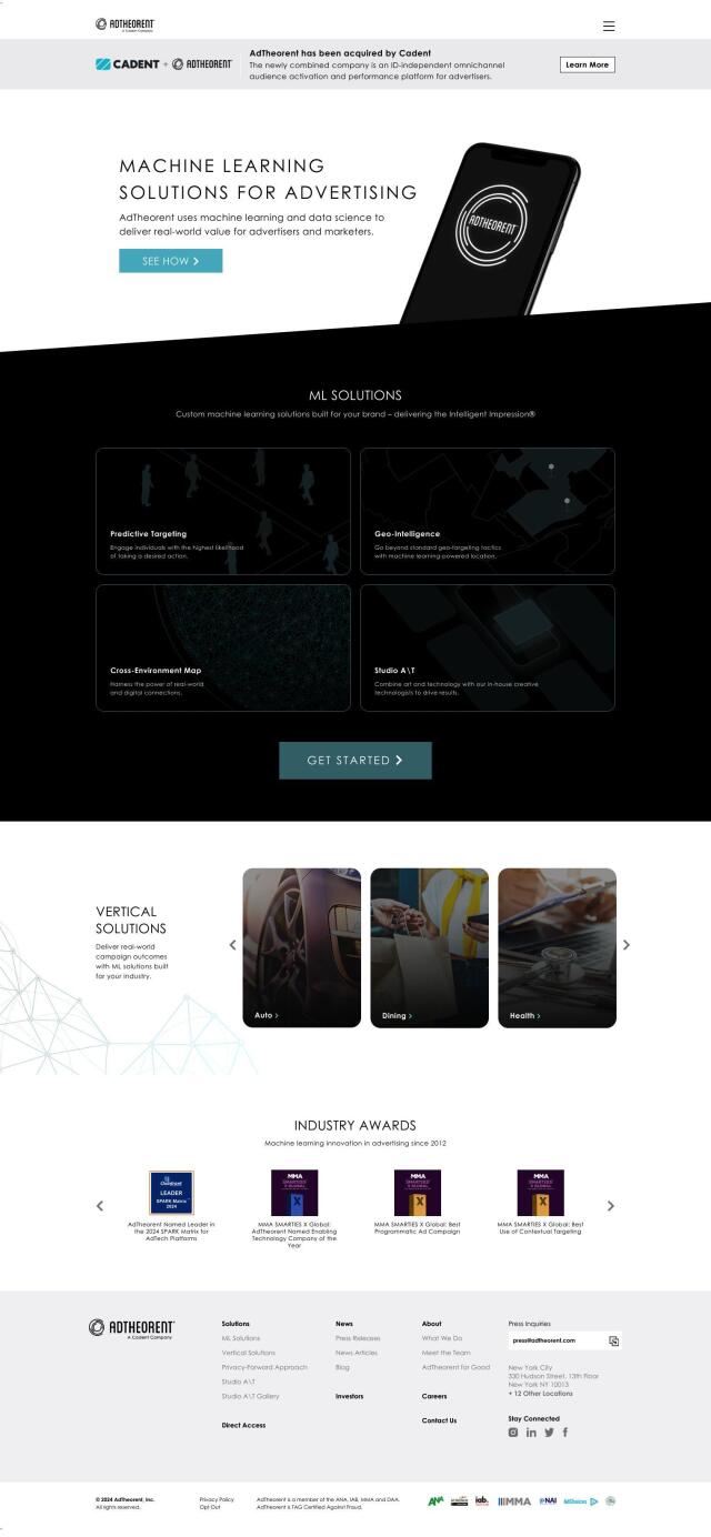
AdTheorent screenshot thumbnail

AdTheorent

Delivers tailored results through predictive targeting, geo-intelligence, and cross-environment mapping, driving real-world value for advertisers across various industries.

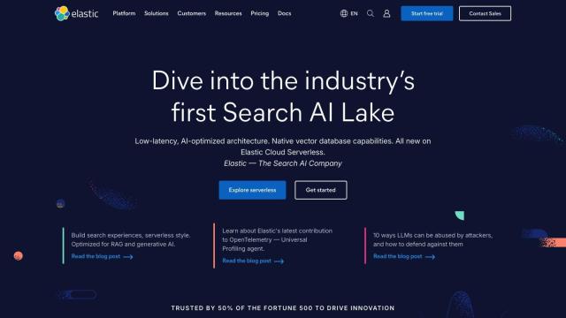
Elastic screenshot thumbnail

Elastic

Combines search and AI to extract meaningful insights from data, accelerating time to insight and enabling tailored experiences.

Vespa screenshot thumbnail

Vespa

Combines search in structured data, text, and vectors in one query, enabling scalable and efficient machine-learned model inference for production-ready applications.

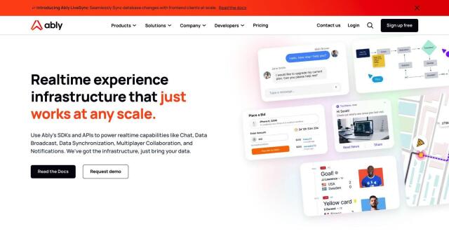
Ably screenshot thumbnail

Ably

Build real-time digital experiences with APIs for live chat, data broadcast, synchronization, and notifications, ensuring reliable delivery at global scale.