Question: Can you suggest a platform that allows non-technical users to access and analyze Earth observation data?
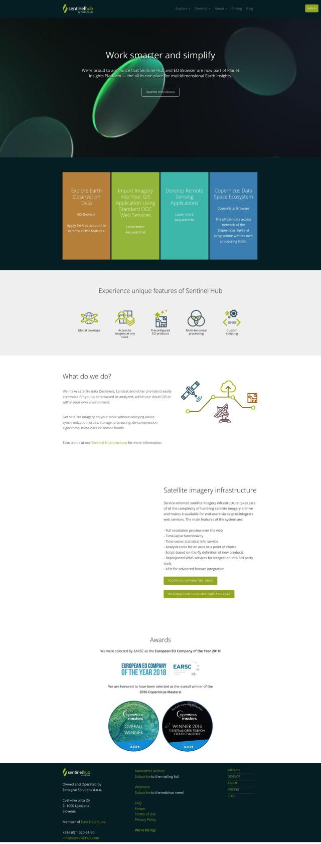
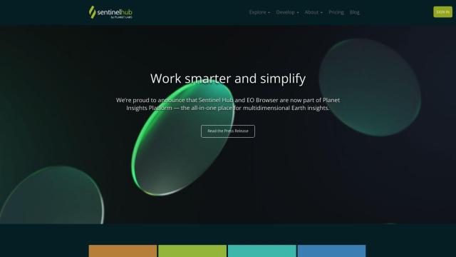
Sentinel Hub screenshot thumbnail

Sentinel Hub

For people who aren't programmers but want to tap into Earth observation data, Sentinel Hub is a great option. This cloud-based API is a single, easy-to-use service for a variety of remote sensing tasks. It comes with tools like EO Browser for exploring and comparing full-resolution imagery, creating time-lapses and getting statistical information services. You can also build your own custom visualizations and download full-resolution imagery and 3D visualizations. Sentinel Hub takes care of the grunt work of synchronization, storage, processing and decompression algorithms so you can focus on your analysis and applications.
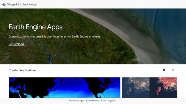
Earth Engine Apps screenshot thumbnail

Earth Engine Apps

Another useful option is Earth Engine Apps, a collection of interactive, publicly available user interfaces for running Earth Engine analysis. This includes apps like the Ocean Timeseries Investigator, Linked Maps, Split Panel, Mosaic Editor, Global Population Explorer and Global Forest Change Explorer. These apps offer a more user-friendly interface for exploring and interacting with a variety of Earth Engine datasets and tools, making the data more accessible to a broader audience without requiring advanced technical skills.

EOSDA screenshot thumbnail

EOSDA

If you're interested in using Earth observation data for agriculture and forestry, EOSDA is a geospatial data analytics platform that uses satellite imagery and machine learning algorithms to provide insights for sustainable decision-making. The platform includes tools like LandViewer for storing and processing satellite imagery, crop monitoring, yield forecasting, soil moisture analysis and carbon modeling. EOSDA's focus on precision agriculture and forestry makes it a good option for businesses looking to increase profitability and reduce waste.
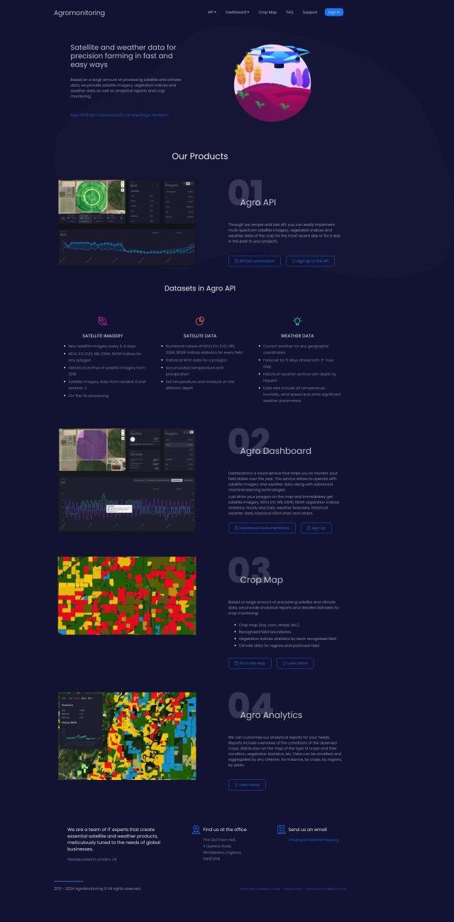
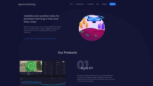
Agromonitoring screenshot thumbnail

Agromonitoring

Last, Agromonitoring offers a precision farming service that provides satellite and weather data to help with crop management. The platform includes tools like Agro API, Agro Dashboard, Crop Map and Agro Analytics. Agromonitoring offers up-to-date satellite imagery every 2-4 days and historical archives, as well as different vegetation indices, weather data and soil parameters. It's designed for farmers, agricultural developers and companies that need detailed crop condition analysis and weather forecasting.

Additional AI Projects

Nearmap screenshot thumbnail

Nearmap

Transforms high-resolution aerial imagery into actionable insights with AI predictions, 3D modeling, and geospatial tools for informed business decisions.

Esri screenshot thumbnail

Esri

Uncover hidden patterns and drive predictive modeling with spatial analytics and machine learning, combining location-based data for innovative insights.

CARTO screenshot thumbnail

CARTO

Analyze and visualize spatial data at any scale with native cloud integration, intuitive drag-and-drop interface, and built-in GenAI capabilities.

Meteomatics screenshot thumbnail

Meteomatics

Access global high-resolution weather, ocean, environment, and climate data through a comprehensive API, including historical, real-time, and forecast data up to 2100.

Unearth Insights screenshot thumbnail

Unearth Insights

Access a unified suite of location data and analytics tools, powered by an AI co-pilot, to uncover insights and drive business decisions faster.

Hexagon screenshot thumbnail

Hexagon

Combines sensor, software, and autonomous technologies to increase efficiency, reduce waste, and improve sustainability across industries through data-driven digital reality solutions.

KNIME screenshot thumbnail

KNIME

Build, deploy, and manage data science solutions with a visual workflow builder, 300+ data connectors, and access to popular machine learning libraries.

Data Commons screenshot thumbnail

Data Commons

Aggregates and makes accessible 240 billion data points from 193 countries, providing graphical exploration and download tools for complex data analysis.

Mapbox screenshot thumbnail

Mapbox

Create customizable, interactive maps with live-updating data and advanced navigation features for web, mobile, automotive, and AR applications.

Opendatasoft screenshot thumbnail

Opendatasoft

Centralize and share data assets in a simple, secure, and interactive way, making data easily consumable at scale with AI-driven user experiences.

Google Maps Platform screenshot thumbnail

Google Maps Platform

Unlock location-based insights and enhance user experiences with customizable, real-time maps, routes, and geospatial data for informed decision-making.

Spotfire screenshot thumbnail

Spotfire

Combines self-service data visualization and advanced data science in a single workflow, empowering users to connect, analyze, and act on data for better business outcomes.

Spotfire screenshot thumbnail

Spotfire

Integrate, prepare, analyze, and act on data from multiple sources with a single platform for real-time data exploration and point-and-click data science.

ePlant screenshot thumbnail

ePlant

Remotely monitor tree health and environmental conditions with long-range wireless sensors, tracking growth, stress, and weather patterns for data-driven decisions.

DataGPT screenshot thumbnail

DataGPT

Get instant, analyst-level answers to data questions in seconds, with automated insights and visualizations, making complex data analysis accessible to everyone.

Earth Networks screenshot thumbnail

Earth Networks

Provides real-time weather alerting and lightning detection with high location accuracy, enabling businesses to make informed decisions about weather-related safety.

GoodData screenshot thumbnail

GoodData

Quickly build custom data products with interactive analytics abilities, leveraging AI-powered features like a no-code interface and chat assistant for effortless insights.

Deepnote screenshot thumbnail

Deepnote

Combines Python, SQL, and no-code tools with AI-powered code completion to explore, analyze, and share data, boosting productivity and simplifying analysis.

ThoughtSpot screenshot thumbnail

ThoughtSpot

Ask complex data questions in natural language and get instant AI-powered insights, empowering informed business decisions without requiring SQL or data expertise.

Hex screenshot thumbnail

Hex

Unify data teams with AI-assisted exploration, collaboration, and interactive reporting, accelerating data work and improving accuracy in a single, modular workspace.