
EOSDA
If you're looking for Sentinel Hub replacement, EOSDA is a geospatial data analytics platform that uses satellite imagery and machine learning to help make sustainable decisions in agriculture and forestry. It includes tools like LandViewer for processing and storing satellite images, high-resolution imagery for detailed assessments, and a range of analytics for crop monitoring and yield forecasting.


Esri
Another powerful option is Esri, a GIS mapping software and spatial analytics company. It marries location analytics with machine learning, with 3D visualization, location intelligence, and a broad range of applications from retail site selection to infrastructure planning. Its technology runs on cloud and on-premise infrastructure and offers a 21-day free trial.
Agromonitoring
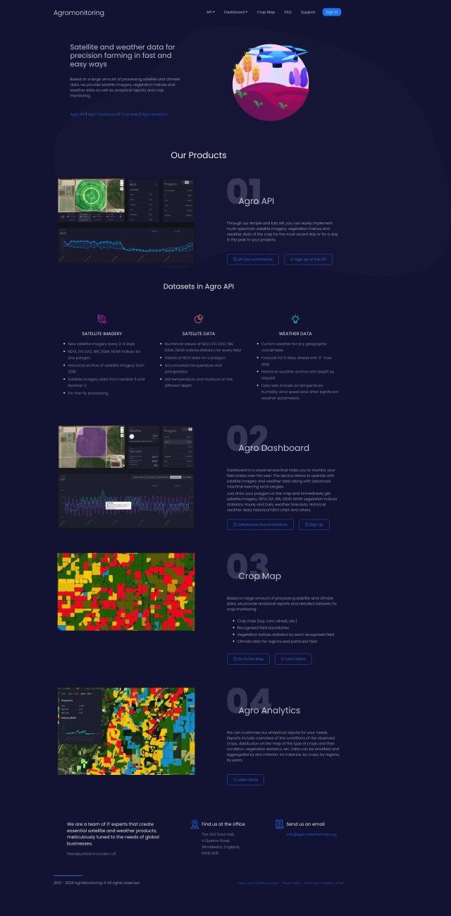
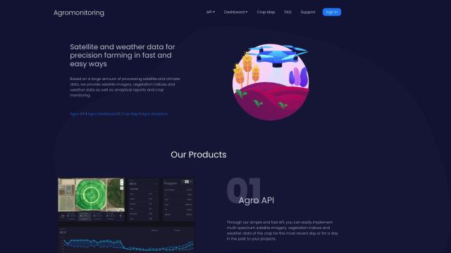
If you're specifically interested in agriculture, Agromonitoring is a precision farming service that uses satellite and weather data to help you manage crops. It includes features like Agro API for integrating data into projects, Agro Dashboard for monitoring fields, and customizable crop condition reports. The service offers updated satellite imagery every 2-4 days and uses machine learning technology for detailed crop analysis.


Nearmap
Last, Nearmap is a location intelligence platform that offers high-resolution imagery, 3D modeling, and AI-generated datasets. It's got tools for urban planning, environmental monitoring and disaster response, so it's a good option for a variety of business needs. Nearmap's aerial imagery and 3D models can help reduce risk and improve operations across industries.
