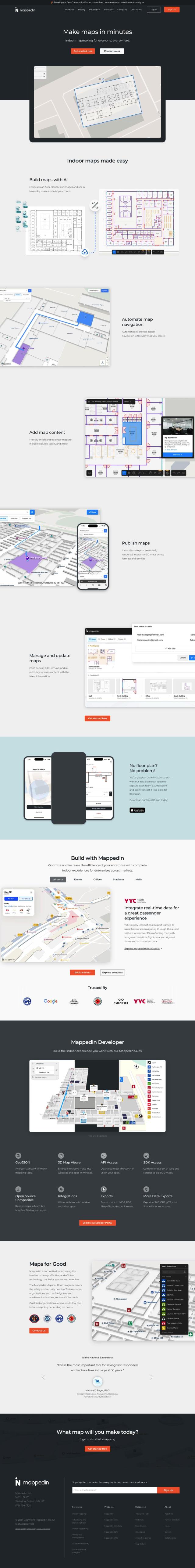
Question: I'm looking for a tool to speed up my spatial web development process, can you suggest something?

CARTO screenshot thumbnail

CARTO

If you want to accelerate your spatial web development, CARTO is worth a look. This cloud-native location intelligence platform lets you analyze, visualize and build applications with spatial data at large scale without the hassle of ETLs or data duplication. It can connect to leading cloud data warehousing systems like BigQuery, Snowflake and Redshift, and it's got a drag-and-drop interface and more than 100 pre-built analysis components. CARTO also has built-in GenAI abilities and access to more than 12,000 geospatial data sources through the Data Observatory, so you can get to business insights and decisions faster.

Esri screenshot thumbnail

Esri

Another powerful option is Esri, which has a broad range of GIS mapping software and spatial analytics tools. Esri marries location analytics with machine learning for more sophisticated location intelligence and 3D visualization. It's good for a range of use cases, including retail site selection, asset management and infrastructure planning. With a strong focus on innovation and predictive modeling, Esri can help you make decisions in real time, and it can run in the cloud or on-premise.

Mapbox screenshot thumbnail

Mapbox

If you need customizable maps and geospatial data, Mapbox offers APIs and SDKs. It's got a lot of advanced features, like interactive maps that update live, routing engines and location search. You can tap into global data sets and draw on a wealth of developer resources. Mapbox is good for anything from connected navigation to data analysis. The service charges based on usage, but there's a free tier, so it's good for small-scale or occasional use.

Radar screenshot thumbnail

Radar

Last, Radar is an all-in-one location platform that's designed to be accurate and private. It's got hyper-accurate geofencing, powerful mapping, and integration with popular tools like Segment and Amplitude. It's got tiered pricing and enterprise-level security, so it's good for developers who need location-based services.

Additional AI Projects

Volu screenshot thumbnail

Volu

Develop and debug spatial web projects in a more immersive environment, with features like inspecting code, testing performance, and modifying code in-headset.

Geoapify screenshot thumbnail

Geoapify

Build location-based apps with ease using a suite of APIs for mapping, geocoding, route optimization, and spatial analytics, with flexible pricing and no data restrictions.

Mappedin screenshot thumbnail

Mappedin

Create interactive 3D indoor maps with AI-assisted tools, automated navigation, and content enrichment, and share them across various devices and formats.

OpenSearch screenshot thumbnail

OpenSearch

Build scalable, high-performance search solutions with out-of-the-box performance, machine learning integrations, and powerful analytics capabilities.

Neo4j screenshot thumbnail

Neo4j

Analyze complex data with a graph database model, leveraging vector search and analytics for improved AI and ML model performance at scale.

Nearmap screenshot thumbnail

Nearmap

Transforms high-resolution aerial imagery into actionable insights with AI predictions, 3D modeling, and geospatial tools for informed business decisions.

MapmyIndia screenshot thumbnail

MapmyIndia

Seamlessly navigate and optimize last-mile operations with integrated navigation, route planning, and location intelligence solutions powered by India's best maps.

Placekey screenshot thumbnail

Placekey

Assigns a unique identifier to any physical location, standardizing address information for easy data sharing and integration across organizations.

PlaceKit screenshot thumbnail

PlaceKit

Fast, accurate, and global address search with autocomplete, geocoding, and store locator features for seamless user experiences and efficient address management.

Rapid Editor screenshot thumbnail

Rapid Editor

Automates map creation and updates using machine learning and satellite imagery, reducing manual effort and increasing accuracy.

Textomap screenshot thumbnail

Textomap

Automatically extracts locations from text-based content to create interactive maps in seconds, saving time and effort.

Spatial.ai screenshot thumbnail

Spatial.ai

Unlock deeper customer insights with behavioral segmentation tools, profiling social, mobile, and web behavior to inform targeted marketing and location strategies.

Streamlit screenshot thumbnail

Streamlit

Build interactive data apps with a few lines of code, and deploy instantly with a single click, without needing front-end programming expertise.

Latitude screenshot thumbnail

Latitude

Automatically generate API endpoints from SQL queries, deploy scalable analytics, and embed interactive visualizations with a lightweight, modular framework.

Noodl screenshot thumbnail

Noodl

Build full-stack applications quickly with a visual development tool that integrates AI-generated building blocks, database queries, and UI elements for rapid iteration.

Vespa screenshot thumbnail

Vespa

Combines search in structured data, text, and vectors in one query, enabling scalable and efficient machine-learned model inference for production-ready applications.

Hex screenshot thumbnail

Hex

Unify data teams with AI-assisted exploration, collaboration, and interactive reporting, accelerating data work and improving accuracy in a single, modular workspace.

DataStax screenshot thumbnail

DataStax

Rapidly build and deploy production-ready GenAI apps with 20% better relevance and 74x faster response times, plus enterprise-grade security and compliance.

Dash screenshot thumbnail

Dash

Build interactive, data-driven applications with Python, deploying and sharing with a single click, and scaling on any cloud infrastructure.

CodeComplete screenshot thumbnail

CodeComplete

Boosts developer productivity with AI-driven coding tools, including code generation, chat, automated testing, and documentation, for efficient development.