Question: I'm looking for a solution that provides satellite imagery and weather data for precision farming and crop monitoring.
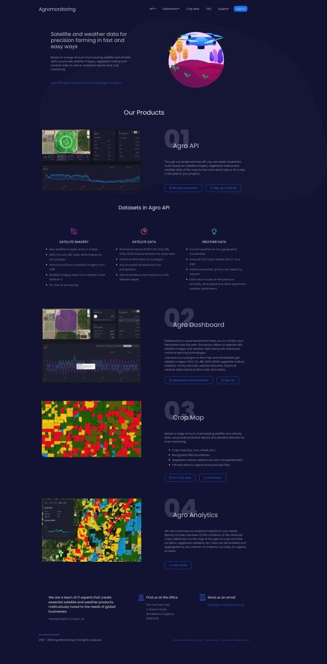
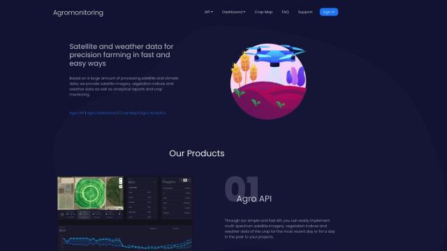
Agromonitoring screenshot thumbnail

Agromonitoring

For precision farming and crop monitoring, Agromonitoring offers a comprehensive solution. It supplies satellite imagery refreshed every 2-4 days, along with historical archives, and weather data including current conditions and forecasts. The platform offers tools like Agro Dashboard for visual monitoring, Crop Map for analytical reports, and Agro Analytics for detailed crop condition analysis. This service is well suited for farmers and agricultural companies that want to improve crop management with precision data.

EOSDA screenshot thumbnail

EOSDA

Another good option is EOSDA, a geospatial data analytics platform that combines satellite imagery with machine learning algorithms. EOSDA offers tools for crop monitoring, yield forecasting, soil moisture analysis, and other tasks. It includes LandViewer for storing and processing satellite imagery and offers high-resolution imagery for detailed land use assessments. The platform is geared for businesses that want to increase profitability and lower waste by making sustainable decisions in agriculture and forestry.
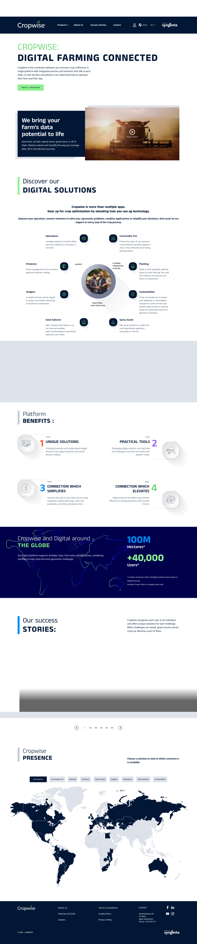
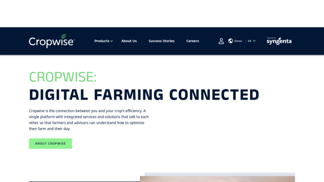
Cropwise screenshot thumbnail

Cropwise

If you want a one-stop service, Cropwise offers a digital platform with several apps to help you optimize farm operations and improve crop yields. The suite of tools includes real-time field monitoring, crop health monitoring and personalized seed recommendations. Cropwise helps farmers and advisors make decisions, minimizing rework and increasing efficiency. It works globally across multiple regions so it's a good option for proactive decision-making.
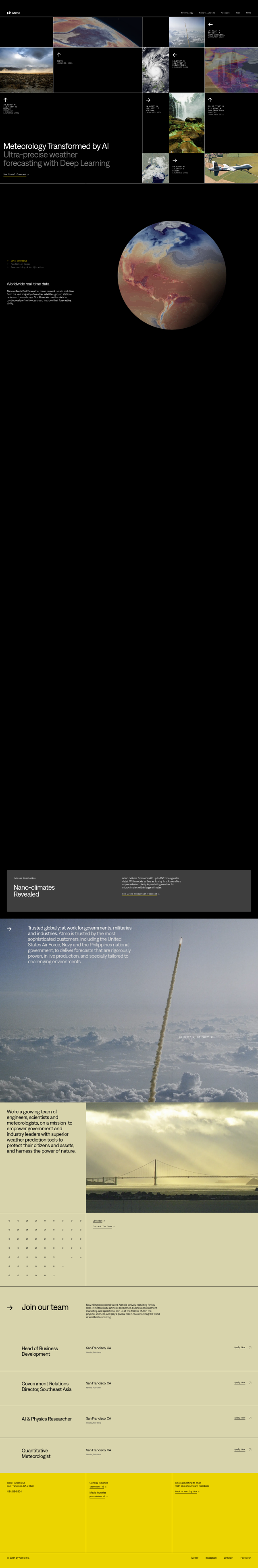
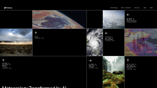
Atmo screenshot thumbnail

Atmo

And then there's Atmo, which focuses on hyper-local weather forecasting based on global weather data and deep learning models. The service offers hyper-local forecasts at previously impossible speed and accuracy, which is useful for agriculture where knowing exactly what's happening with the weather is key to making the best decisions about crops. Atmo's hyper-local weather data can help farmers make better decisions about their crops and respond to changing weather.

Additional AI Projects

Tomorrow.io screenshot thumbnail

Tomorrow.io

Combines global spacecraft data, AI/ML models, and advanced forecasting to provide hyper-accurate weather information for any location, enabling proactive decision-making and resilience.

Nearmap screenshot thumbnail

Nearmap

Transforms high-resolution aerial imagery into actionable insights with AI predictions, 3D modeling, and geospatial tools for informed business decisions.

Hexagon screenshot thumbnail

Hexagon

Combines sensor, software, and autonomous technologies to increase efficiency, reduce waste, and improve sustainability across industries through data-driven digital reality solutions.

Esri screenshot thumbnail

Esri

Uncover hidden patterns and drive predictive modeling with spatial analytics and machine learning, combining location-based data for innovative insights.

ePlant screenshot thumbnail

ePlant

Remotely monitor tree health and environmental conditions with long-range wireless sensors, tracking growth, stress, and weather patterns for data-driven decisions.

Tempest screenshot thumbnail

Tempest

Provides hyperlocal, AI-driven weather forecasts with guaranteed accuracy, empowering informed decisions for daily life and business operations.

CARTO screenshot thumbnail

CARTO

Analyze and visualize spatial data at any scale with native cloud integration, intuitive drag-and-drop interface, and built-in GenAI capabilities.

C3 AI screenshot thumbnail

C3 AI

Access a broad range of pre-built, enterprise-scale AI applications across industries, accelerating digital transformation and delivering results in weeks.

Geotab screenshot thumbnail

Geotab

Leverage AI-driven insights and recommendations to optimize fleet operations, improve safety, and reduce emissions, while automating compliance and increasing productivity.

AI Clearing screenshot thumbnail

AI Clearing

Generates 3D site reports with 100% site coverage, providing accurate and efficient progress monitoring, reducing re-work costs and litigation risks.

LandingLens screenshot thumbnail

LandingLens

Unlock insights from unlabeled images, achieve accurate results, and deploy computer vision models flexibly and scalably across industries.

Spatial.ai screenshot thumbnail

Spatial.ai

Unlock deeper customer insights with behavioral segmentation tools, profiling social, mobile, and web behavior to inform targeted marketing and location strategies.

Encord screenshot thumbnail

Encord

Streamline computer vision development with automated labeling, data management, and model testing tools to build more accurate models faster.

Spotfire screenshot thumbnail

Spotfire

Integrate, prepare, analyze, and act on data from multiple sources with a single platform for real-time data exploration and point-and-click data science.

Neuraspace screenshot thumbnail

Neuraspace

Automatically assesses risks and suggests maneuvers up to 5 days before a conjunction, enabling earlier identification of high-risk collisions and more efficient operations.

Milesight screenshot thumbnail

Milesight

AI-powered video surveillance solutions for medium-to-large-scale projects, featuring object detection, 5G connectivity, and intuitive interfaces for remote management and data analysis.

Software AG screenshot thumbnail

Software AG

Connect and integrate applications, services, and data with prebuilt connectors and automate workflows through a simple drag-and-drop interface.

GoodData screenshot thumbnail

GoodData

Quickly build custom data products with interactive analytics abilities, leveraging AI-powered features like a no-code interface and chat assistant for effortless insights.

MachineMetrics screenshot thumbnail

MachineMetrics

Unlocks hidden production capacity and optimizes machine performance through real-time data analytics and automated insights, enabling informed decisions and improved factory efficiency.

AYLIEN screenshot thumbnail

AYLIEN

Access 1.3 million NLP-enriched news articles daily from 90,000 sources, with AI-powered search, sentiment analysis, and data visualizations for informed decision-making.