Question: Can you recommend a platform that provides comprehensive property data, including building footprints and environmental information, for informed decision-making?

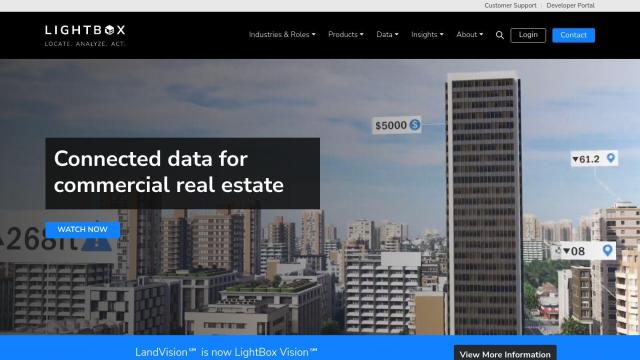
LightBox
For richer property data, including building outlines and environmental context, LightBox is a powerful option. It combines real estate data analytics, geospatial, zoning and environmental building data into one service, with tools for location intelligence, environmental due diligence and full commercial real estate data. It's geared for commercial real estate pros, with tools like Locate for property attributes and spatial data, Analyze for location intelligence, and Act for decision support.


Nearmap
Another strong contender is Nearmap, a location intelligence platform that offers high-resolution imagery, 3D modeling, AI predictions and geospatial tools. It offers current aerial imagery, 3D views, near-infrared imagery for environmental monitoring and AI-created data sets for property attributes. It's good for urban planning, infrastructure development, real estate, insurance and environmental assessments.


Esri
Esri offers a full-featured GIS mapping software and spatial analytics tool suite, including 3D visualization, location intelligence and spatial analysis. It's good for real estate, infrastructure planning and environmental monitoring, with tools for predictive modeling and real-time decision support.

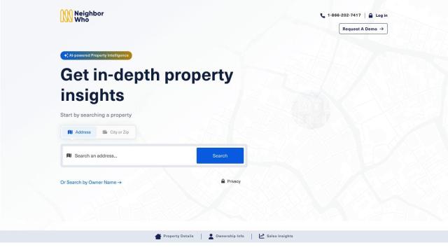
NeighborWho
If you want to get a better look at on and off-market properties, NeighborWho combines data from multiple sources for detailed property records. It includes valuations, ownership information, sales history, asset details and deed information, and it can be useful for professionals looking to expand their business by researching properties.


