Question: Do you know of a platform that provides a comprehensive set of property characteristics and tax parcels for government agencies and urban planning?

LightBox
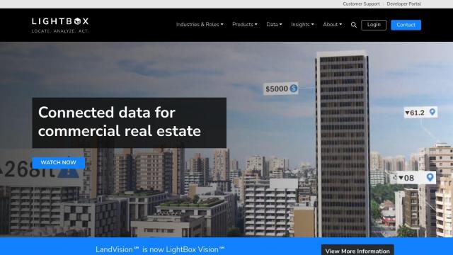
If you're looking for a broad platform for property attributes and tax parcels, LightBox is a strong contender. It offers authoritative property data, including building footprints, tax parcels, geospatial, zoning and environmental data, all in one system. With tools like Locate for accessing property attributes, Analyze for location intelligence and Act for making decisions, LightBox is geared for commercial real estate professionals and government agencies.


Esri
Another good choice is Esri, a GIS mapping software package that includes spatial analytics tools and 3D visualization. Esri's software offers location intelligence, GIS mapping, spatial analysis and data science, making it useful for everything from urban planning to construction. It can be used in the cloud or on your own servers, and you can try it for free for 21 days.


Nearmap
For high-resolution imagery and AI-generated data, Nearmap is worth a look. It offers current aerial imagery, 3D models and several AI-generated data sets for property attributes. The data can help businesses, cities and governments make decisions by providing detailed views of properties and the surrounding area, for example for urban planning and environmental monitoring.


CARTO
Last, CARTO offers a cloud-native location intelligence platform that lets you analyze, visualize and build apps with spatial data at large scale. With its drag-and-drop interface and more than 12,000 geospatial data sets, CARTO lets you build apps at large scale and offers rich data visualization, making it a good choice for business insights and decision-making in urban planning.

