Question: Do you know of a tool that offers parking availability and usage data to inform urban planning decisions?

INRIX screenshot thumbnail

INRIX

If you're looking for a tool that can provide parking availability and usage data to help with urban planning, INRIX is a good choice. INRIX aggregates 50 petabytes of detailed transportation data and uses generative AI technology called Compass to generate real-time traffic data, crash data, safety alerts, parking data and more. That can help cities and companies better understand traffic patterns and mobility behavior, ultimately leading to smoother traffic, improved safety and better decision making. You can sign up for a free account to try it out.

Esri screenshot thumbnail

Esri

Another good option is Esri, which provides GIS mapping software and spatial analytics tools. Its platform includes location intelligence, 3D visualization and advanced spatial analysis that can be used in a variety of fields, including urban planning. Esri's tools can be used for predictive modeling and real-time decision making, making it a good option for analyzing and visualizing urban data.

CARTO screenshot thumbnail

CARTO

CARTO also offers a broad set of location intelligence tools. It lets you analyze and visualize spatial data at large scale without having to wrangle the underlying data. CARTO includes pre-built analysis components, rich data visualization and secure sharing of insights. It's a good option for companies that want to use spatial analytics and visualization to drive business decisions.

Mapbox screenshot thumbnail

Mapbox

Last, Mapbox offers APIs and SDKs for customizable maps, advanced navigation and location search. It offers access to global data sets for traffic and movement, and its customizable maps can incorporate live updating data and advanced routing engines. That makes it a good option for a variety of use cases, including urban planning and traffic management.

Additional AI Projects

Nearmap screenshot thumbnail

Nearmap

Transforms high-resolution aerial imagery into actionable insights with AI predictions, 3D modeling, and geospatial tools for informed business decisions.

Arity screenshot thumbnail

Arity

Analyzes trillions of miles of driving data to provide actionable insights for insurers, marketers, and communities, enabling personalized services and targeted solutions.

MapmyIndia screenshot thumbnail

MapmyIndia

Seamlessly navigate and optimize last-mile operations with integrated navigation, route planning, and location intelligence solutions powered by India's best maps.

Radar screenshot thumbnail

Radar

Radar combines geofencing, geocoding, and mapping for accurate, cost-effective location-based experiences.

BestTime screenshot thumbnail

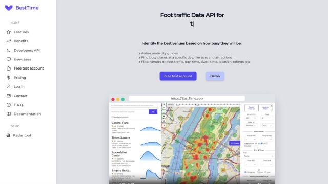
BestTime

Provides real-time retail foot traffic data, forecasts, and live activity insights for locations worldwide, enabling informed decisions on visitation and operations.

Unearth Insights screenshot thumbnail

Unearth Insights

Access a unified suite of location data and analytics tools, powered by an AI co-pilot, to uncover insights and drive business decisions faster.

Spatial.ai screenshot thumbnail

Spatial.ai

Unlock deeper customer insights with behavioral segmentation tools, profiling social, mobile, and web behavior to inform targeted marketing and location strategies.

Placekey screenshot thumbnail

Placekey

Assigns a unique identifier to any physical location, standardizing address information for easy data sharing and integration across organizations.

Rapid Editor screenshot thumbnail

Rapid Editor

Automates map creation and updates using machine learning and satellite imagery, reducing manual effort and increasing accuracy.

Matterport screenshot thumbnail

Matterport

Capture and collaborate on 3D digital twins of real-world sites, leveraging AI-driven analytics and immersive virtual experiences for improved project outcomes.

Urbantz screenshot thumbnail

Urbantz

Optimizes last mile logistics with AI-driven route planning, real-time delivery slots, and multi-carrier management to increase successful deliveries and customer satisfaction.

Tableau screenshot thumbnail

Tableau

Connect to any data source, create visualizations, and share insights with an intuitive, AI-infused analytics platform that drives better decision-making.

Omnitracs screenshot thumbnail

Omnitracs

Combines fleet management expertise with AI and machine learning to provide actionable insights, optimize business performance, and improve driver satisfaction and safety.

Scale screenshot thumbnail

Scale

Provides high-quality, cost-effective training data for AI models, improving performance and reliability across various industries and applications.

Spotfire screenshot thumbnail

Spotfire

Integrate, prepare, analyze, and act on data from multiple sources with a single platform for real-time data exploration and point-and-click data science.

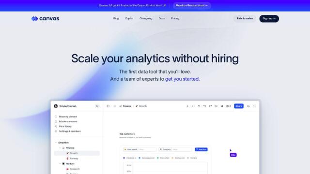
Canvas screenshot thumbnail

Canvas

Link, query, and visualize data from 150+ SaaS tools without coding, empowering non-technical teams to make data-informed decisions.

Intrado screenshot thumbnail

Intrado

Enhance emergency response with AI-powered PSAP solutions, improving team performance and decision-making for faster, more accurate connections between callers and responders.

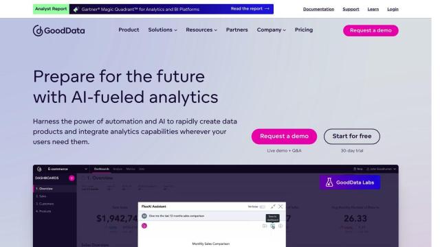
GoodData screenshot thumbnail

GoodData

Quickly build custom data products with interactive analytics abilities, leveraging AI-powered features like a no-code interface and chat assistant for effortless insights.

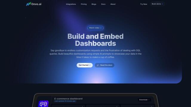
Onvo screenshot thumbnail

Onvo

Create interactive charts and insights with simple AI prompts, eliminating the need for complex queries and customizations.

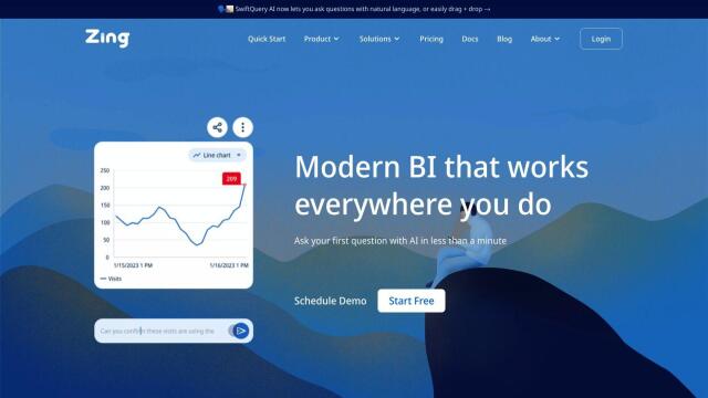
Zing Data screenshot thumbnail

Zing Data

Get answers to data questions in seconds, without expertise, using intuitive natural language querying and automated data modeling.