Question: Can you recommend a platform that offers high-resolution imagery and crop health analysis to help farmers make informed decisions?

Sentera screenshot thumbnail

Sentera

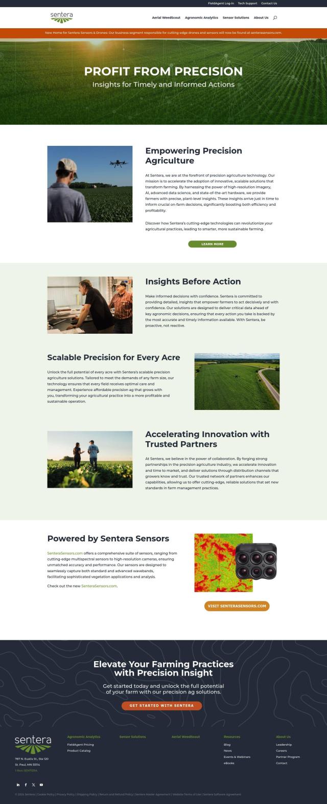
If you want a platform with high-resolution imagery and crop health analysis, Sentera is a good option. Sentera offers a precision agriculture solution with high-resolution imagery for detailed vegetation analysis, crop health analysis and AI-generated insights. The company's solution is designed to help farmers work more efficiently and profitably, with pricing options for small, medium and large-scale farms.

Cropwise screenshot thumbnail

Cropwise

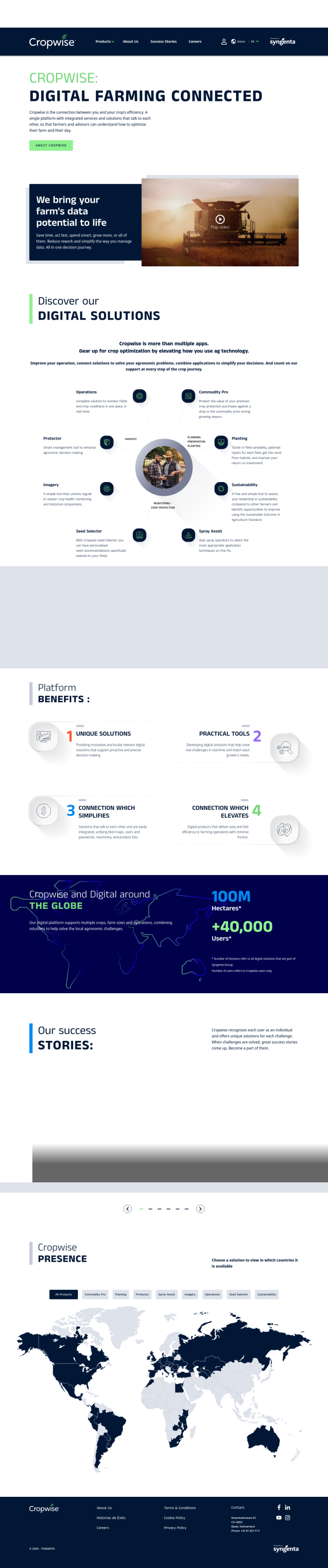
Another heavy-duty option is Cropwise, which combines multiple apps to help optimize farm operations and improve crop performance. Cropwise apps include Imagery for crop health monitoring, Seed Selector for seed recommendations and Spray Assist for optimized spraying techniques. The platform is designed to help farmers make proactive and precise decisions, reducing rework and improving yields.

EOSDA screenshot thumbnail

EOSDA

EOSDA uses satellite imagery and machine learning to offer crop monitoring, yield forecasting and soil moisture analysis. Its tools are designed to increase sustainability and reduce waste, so it's a good option for farmers who want to improve their operations in a more environmentally friendly way.
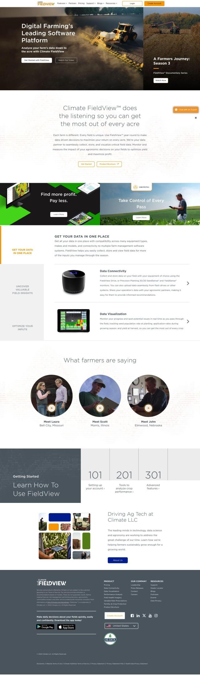
Climate FieldView screenshot thumbnail

Climate FieldView

If you want a more data-centric approach, Climate FieldView collects and analyzes data from a variety of equipment to help farmers maximize yields and profits. It offers field health imagery and crop performance analysis, and it connects to data from various devices or uploads data from other systems. The platform offers a single data hub, so farmers can make better decisions and run their operations more smoothly.

Additional AI Projects

Agromonitoring screenshot thumbnail

Agromonitoring

Provides precision farming insights through satellite imagery, vegetation indices, and weather data, empowering data-driven crop management and decision-making.

Nearmap screenshot thumbnail

Nearmap

Transforms high-resolution aerial imagery into actionable insights with AI predictions, 3D modeling, and geospatial tools for informed business decisions.

FlyPix screenshot thumbnail

FlyPix

Detect, localize, track, and monitor objects across industries with advanced AI models, generating actionable, geo-referenced insights from complex imagery.

Hexagon screenshot thumbnail

Hexagon

Combines sensor, software, and autonomous technologies to increase efficiency, reduce waste, and improve sustainability across industries through data-driven digital reality solutions.

Agent Crop screenshot thumbnail

Agent Crop

Detects crop diseases and identifies plants using advanced computer vision, providing immediate answers to boost yields and profits.

ePlant screenshot thumbnail

ePlant

Remotely monitor tree health and environmental conditions with long-range wireless sensors, tracking growth, stress, and weather patterns for data-driven decisions.

TELUS Agriculture & Consumer Goods screenshot thumbnail

TELUS Agriculture & Consumer Goods

Unlocks actionable data insights and digital tools to optimize operations, improve safety, quality, and sustainability across the agriculture value chain.

PictureThis screenshot thumbnail

PictureThis

Instantly identify plants, diagnose diseases, and receive personalized care tips with AI-powered plant identification and expert advice.

LandingLens screenshot thumbnail

LandingLens

Unlock insights from unlabeled images, achieve accurate results, and deploy computer vision models flexibly and scalably across industries.

Let's Enhance screenshot thumbnail

Let's Enhance

Upscale low-resolution images to 4K and higher, enhancing quality and detail, while also offering batch editing, text-to-image generation, and color correction features.

PlantIn screenshot thumbnail

PlantIn

Identify plants, diagnose diseases, and receive personalized care plans with expert advice, leveraging a database of over 17,000 plant species.

Cloudinary screenshot thumbnail

Cloudinary

Revolutionize image and video workflows with AI-powered transformations, media management, and optimization for responsive, high-quality experiences.

myPlant screenshot thumbnail

myPlant

Optimizes energy assets through real-time monitoring, predictive analytics, and remote control, improving efficiency, reducing costs, and carbon emissions.

AI Clearing screenshot thumbnail

AI Clearing

Generates 3D site reports with 100% site coverage, providing accurate and efficient progress monitoring, reducing re-work costs and litigation risks.

CARTO screenshot thumbnail

CARTO

Analyze and visualize spatial data at any scale with native cloud integration, intuitive drag-and-drop interface, and built-in GenAI capabilities.

Perfectly Clear screenshot thumbnail

Perfectly Clear

Automatically correct and enhance photos and videos with AI-powered technology, improving image quality and reducing manual editing time and expense.

Clarifai screenshot thumbnail

Clarifai

Rapidly develop, deploy, and operate AI projects at scale with automated workflows, standardized development, and built-in security and access controls.

PhotoShelter screenshot thumbnail

PhotoShelter

Manage, collaborate, and share visual content to drive creative success and fuel brand growth.

HEAVY.AI screenshot thumbnail

HEAVY.AI

Unlocks high-value opportunities and risks in location and time data through interactive, timely, and hardware-accelerated analytics.

Krut screenshot thumbnail

Krut

Creates high-quality custom brand imagery without requiring AI expertise, automating image editing tasks with a range of efficient and accurate tools.