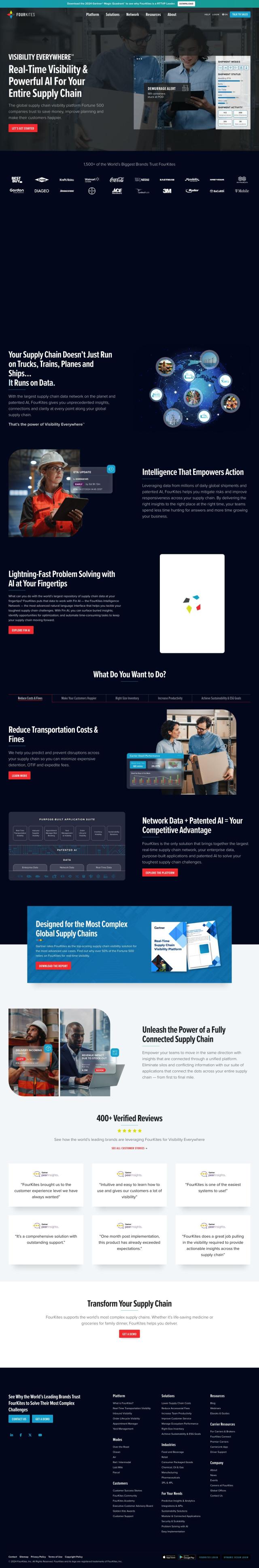
Question: Do you know of a service that provides global coverage and fast setup for RTK corrections in various industries?

Point One screenshot thumbnail

Point One

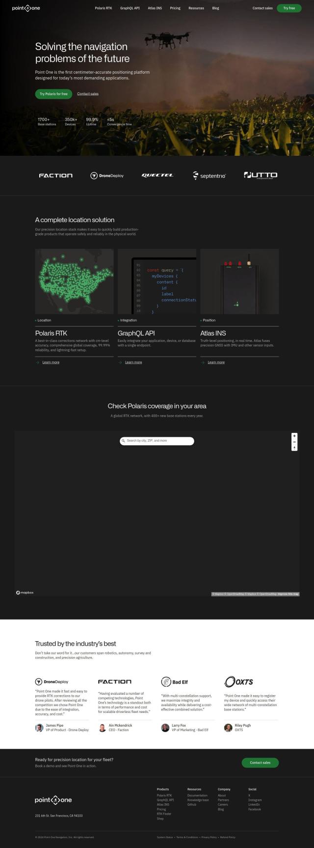
For a service that offers global coverage and fast setup for RTK corrections in many markets, Point One has a mature precision location stack. That includes Polaris RTK for cm-level accuracy and global coverage, a GraphQL API for easy integration, and Atlas INS for real-time truth-level positioning. It's suited for robotics, autonomy, survey, construction and precision agriculture, with fast setup and integration, and support for a broad range of GNSS devices.
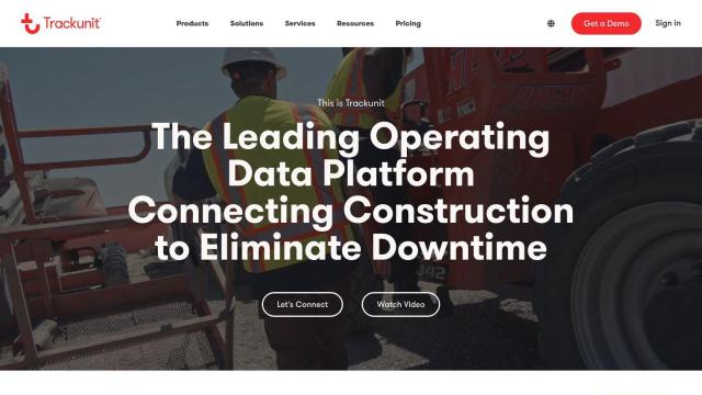
Trackunit screenshot thumbnail

Trackunit

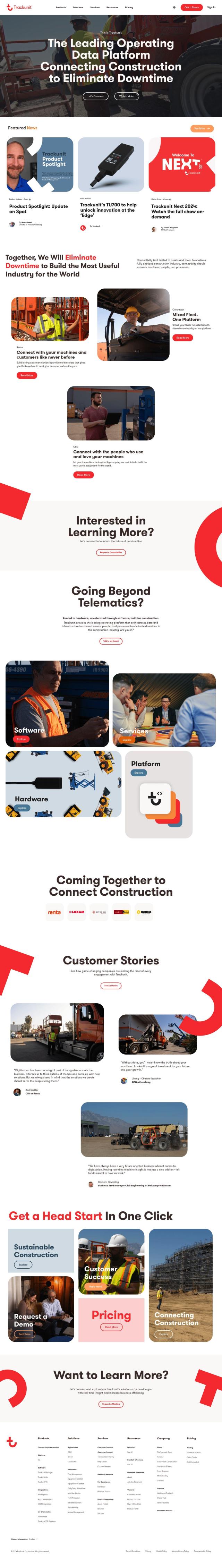
Another alternative is Trackunit, a SaaS-based IoT service geared for the construction industry. It doesn't offer RTK corrections directly, but it does offer a broad suite of fleet management software and telematics tools. That can help with efficiency, downtime reduction and data-driven decision making, which can be useful in conjunction with RTK corrections for better location accuracy.
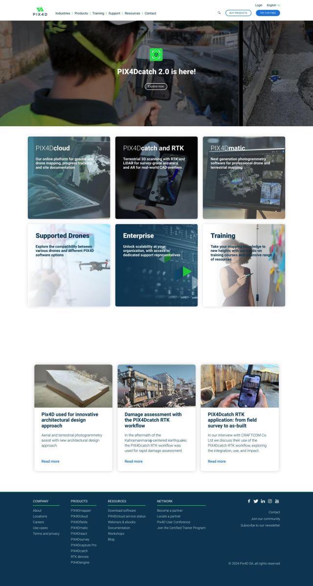
PIX4D screenshot thumbnail

PIX4D

For industries that use photogrammetry and mapping, PIX4D is a mature photogrammetry software suite. It doesn't offer RTK corrections, but it has a variety of products for capturing, processing and analyzing drone and camera imagery, creating maps and 3D models. That could be useful for applications where spatial data is important, such as surveying, architecture, engineering and precision agriculture.

Additional AI Projects

Hexagon screenshot thumbnail

Hexagon

Combines sensor, software, and autonomous technologies to increase efficiency, reduce waste, and improve sustainability across industries through data-driven digital reality solutions.

Esri screenshot thumbnail

Esri

Uncover hidden patterns and drive predictive modeling with spatial analytics and machine learning, combining location-based data for innovative insights.

FlyPix screenshot thumbnail

FlyPix

Detect, localize, track, and monitor objects across industries with advanced AI models, generating actionable, geo-referenced insights from complex imagery.

Agromonitoring screenshot thumbnail

Agromonitoring

Provides precision farming insights through satellite imagery, vegetation indices, and weather data, empowering data-driven crop management and decision-making.

Mapbox screenshot thumbnail

Mapbox

Create customizable, interactive maps with live-updating data and advanced navigation features for web, mobile, automotive, and AR applications.

Fleet Complete screenshot thumbnail

Fleet Complete

Combines telematics, GPS tracking, and AI-powered dash cameras to optimize fleet efficiency, safety, compliance, and sustainability with real-time insights and data visualizations.

Nearmap screenshot thumbnail

Nearmap

Transforms high-resolution aerial imagery into actionable insights with AI predictions, 3D modeling, and geospatial tools for informed business decisions.

Teletrac Navman screenshot thumbnail

Teletrac Navman

Unify fleet operations with a single platform, tracking and optimizing vehicles, equipment, and drivers in real-time, improving safety, efficiency, and performance.

Meteomatics screenshot thumbnail

Meteomatics

Access global high-resolution weather, ocean, environment, and climate data through a comprehensive API, including historical, real-time, and forecast data up to 2100.

CupixWorks screenshot thumbnail

CupixWorks

Automatically transforms 360-degree capture videos into as-built 3D spatial context for construction projects and facility management, improving project efficiency and accuracy.

PTV Group screenshot thumbnail

PTV Group

Analyze and optimize traffic infrastructure with data, AI, and machine learning to identify problems and potential improvements.

FreightVerify screenshot thumbnail

FreightVerify

Provides real-time end-to-end visibility across global supply chains, enabling data-driven decisions and optimized inventory management through AI-driven insights.

SightCall screenshot thumbnail

SightCall

Combines live video and multimodal generative AI to resolve issues 69% faster and increase customer satisfaction through guided and personalized service experiences.

RTI screenshot thumbnail

RTI

Enables building of modular, real-time systems with reliability, security, and performance for highly distributed autonomous systems, leveraging data-centric architecture.

Core Laboratories screenshot thumbnail

Core Laboratories

Analyzes thin section images, searching a global rock catalog for petrophysical and geological analog data to enable calibration before lab results are delivered.

FourKites screenshot thumbnail

FourKites

Unify global supply chains with real-time visibility, predictive ETAs, and AI-driven insights to reduce risk, improve responsiveness, and optimize operations.

Cambridge Mobile Telematics screenshot thumbnail

Cambridge Mobile Telematics

Analyzes hundreds of billions of miles of driving data to provide a complete picture of vehicle and driver behavior, promoting safer driving and lower insurance rates.

Intrado screenshot thumbnail

Intrado

Enhance emergency response with AI-powered PSAP solutions, improving team performance and decision-making for faster, more accurate connections between callers and responders.

Placekey screenshot thumbnail

Placekey

Assigns a unique identifier to any physical location, standardizing address information for easy data sharing and integration across organizations.

RapidSOS screenshot thumbnail

RapidSOS

Securely connects life-saving data from devices, apps, and sensors to 911 and first responders, providing critical information in emergency situations.

TVU screenshot thumbnail

TVU

Unify live video workflows across IP, 5G, and AI networks with a cloud-based platform, enabling high-quality broadcasts at lower costs and increased efficiency.