Question: I'm looking for a tool that offers detailed crime maps and scores for cities across the country.

CrimeGrade screenshot thumbnail

CrimeGrade

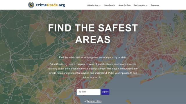
If you want a tool that'll give you crime maps and scores for cities around the country, CrimeGrade is a great choice. The site offers neighborhood-level crime data for the US, combining statistical calculations and machine learning techniques to let you see crime rates at the neighborhood level. You can type in your zip code to get crime maps and grades for your city, along with detailed data on different serious crimes. That's great for home buyers, home owners and researchers looking for neutral, detailed analysis.


Flock Safety screenshot thumbnail

Flock Safety

Another tool worth checking is Flock Safety. Although it's geared for law enforcement and communities, the site's License Plate Recognition (LPR) cameras, gunshot detection and video intelligence can make a community safer with 24/7 monitoring and evidence gathering. It's a one-stop platform for all public safety needs, so it can be a good tool for improving safety and investigating/solving crimes.

Esri screenshot thumbnail

Esri

If you're into GIS mapping and spatial analysis, Esri has a powerful platform for location intelligence and competitive advantage through a combination of location analytics and machine learning. It includes tools for GIS mapping, spatial analysis and 3D visualization so you can make decisions in real time and perform predictive modeling in a variety of industries.

Additional AI Projects

Spatial.ai screenshot thumbnail

Spatial.ai

Unlock deeper customer insights with behavioral segmentation tools, profiling social, mobile, and web behavior to inform targeted marketing and location strategies.

CARTO screenshot thumbnail

CARTO

Analyze and visualize spatial data at any scale with native cloud integration, intuitive drag-and-drop interface, and built-in GenAI capabilities.

Data Commons screenshot thumbnail

Data Commons

Aggregates and makes accessible 240 billion data points from 193 countries, providing graphical exploration and download tools for complex data analysis.
LiveSafe screenshot thumbnail

LiveSafe

AI-powered reporting tools overcome barriers to incident reporting, providing prescriptive guidance and intelligent routing for enhanced safety and security.

Mapbox screenshot thumbnail

Mapbox

Create customizable, interactive maps with live-updating data and advanced navigation features for web, mobile, automotive, and AR applications.

INRIX screenshot thumbnail

INRIX

Harnesses 50 petabytes of transportation data to provide real-time traffic insights, crash alerts, and parking analytics, optimizing urban mobility and road safety.

Geoapify screenshot thumbnail

Geoapify

Build location-based apps with ease using a suite of APIs for mapping, geocoding, route optimization, and spatial analytics, with flexible pricing and no data restrictions.

Google Maps Platform screenshot thumbnail

Google Maps Platform

Unlock location-based insights and enhance user experiences with customizable, real-time maps, routes, and geospatial data for informed decision-making.

OpenALPR screenshot thumbnail

OpenALPR

Empowers IP cameras with advanced vehicle recognition, providing real-time information on license plates, make, model, color, and direction of travel with industry-leading accuracy.

Nearmap screenshot thumbnail

Nearmap

Transforms high-resolution aerial imagery into actionable insights with AI predictions, 3D modeling, and geospatial tools for informed business decisions.

MapmyIndia screenshot thumbnail

MapmyIndia

Seamlessly navigate and optimize last-mile operations with integrated navigation, route planning, and location intelligence solutions powered by India's best maps.

Overwatch screenshot thumbnail

Overwatch

Unifies intelligence feeds into a customizable, real-time operating system, providing intuitive visualizations and executive summaries to help organizations make informed decisions.

RapidSOS screenshot thumbnail

RapidSOS

Securely connects life-saving data from devices, apps, and sensors to 911 and first responders, providing critical information in emergency situations.

Radar screenshot thumbnail

Radar

Radar combines geofencing, geocoding, and mapping for accurate, cost-effective location-based experiences.

Placer.ai screenshot thumbnail

Placer.ai

Gain unprecedented visibility into consumer behavior, track migration patterns, and uncover market trends with actionable data-driven insights for informed business decisions.

Textomap screenshot thumbnail

Textomap

Automatically extracts locations from text-based content to create interactive maps in seconds, saving time and effort.

Rapid Editor screenshot thumbnail

Rapid Editor

Automates map creation and updates using machine learning and satellite imagery, reducing manual effort and increasing accuracy.

Cawamo screenshot thumbnail

Cawamo

Turns existing cameras into smart tools with multi-level AI video analytics, detecting people, vehicles, fires, and more, enhancing security and business intelligence.

Placekey screenshot thumbnail

Placekey

Assigns a unique identifier to any physical location, standardizing address information for easy data sharing and integration across organizations.

OnSolve screenshot thumbnail

OnSolve

Identify threats in real-time with AI-powered detection, and respond quickly with precision, reducing risk and ensuring timely action.

Mappedin screenshot thumbnail

Mappedin

Create interactive 3D indoor maps with AI-assisted tools, automated navigation, and content enrichment, and share them across various devices and formats.