Question: I need a solution that enables city-scale AR experiences with large-scale data collection and mapping capabilities.

EasyAR screenshot thumbnail

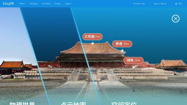
EasyAR

If you're looking for a platform that can handle city-scale AR experiences with data collection and mapping abilities, EasyAR could be a good choice. The platform offers a range of tools and services built around the Sense SDK, which offers modular and flexible APIs for Unity. It includes spatial mapping, motion tracking, image recognition and a city-scale AR cloud service for large-scale data collection, mapping and localization. EasyAR supports iOS, Android and MR eyewear, and has a lot of documentation, community support and a range of subscription plans for different needs.

Esri screenshot thumbnail

Esri

Another option worth considering is Esri, which offers GIS mapping software and spatial analytics tools that marry location intelligence with machine learning. The platform offers 3D visualization, GIS mapping, spatial analysis and data collection and management. It can be applied to a broad range of industries and use cases, including infrastructure planning, supply chain optimization and climate action. Esri can be deployed in the cloud or on-premise, and offers a 21-day free trial, so you can try it out.

Mapbox screenshot thumbnail

Mapbox

For a focus on location intelligence and customizable maps, Mapbox offers APIs and SDKs for building interactive maps with constantly updating data. It offers advanced routing engines, traffic-aware travel times and precise location search. Mapbox has a global dataset and can easily incorporate custom data, making it a good choice for things like smart location features and data analysis. The company is used by industry heavy-hitters and offers a free tier with volume discounts for heavy usage.

Nearmap screenshot thumbnail

Nearmap

Last, Nearmap offers high-resolution imagery and 3D modeling tools to inform decision-making in a variety of industries. The platform offers current aerial imagery, AI-generated data sets and geospatial tools. Nearmap is good for urban planning, environmental monitoring and infrastructure projects, and offers high-quality content and rapid innovation since the platform is owned by Nearmap.

Additional AI Projects

Mappedin screenshot thumbnail

Mappedin

Create interactive 3D indoor maps with AI-assisted tools, automated navigation, and content enrichment, and share them across various devices and formats.

Scale screenshot thumbnail

Scale

Provides high-quality, cost-effective training data for AI models, improving performance and reliability across various industries and applications.

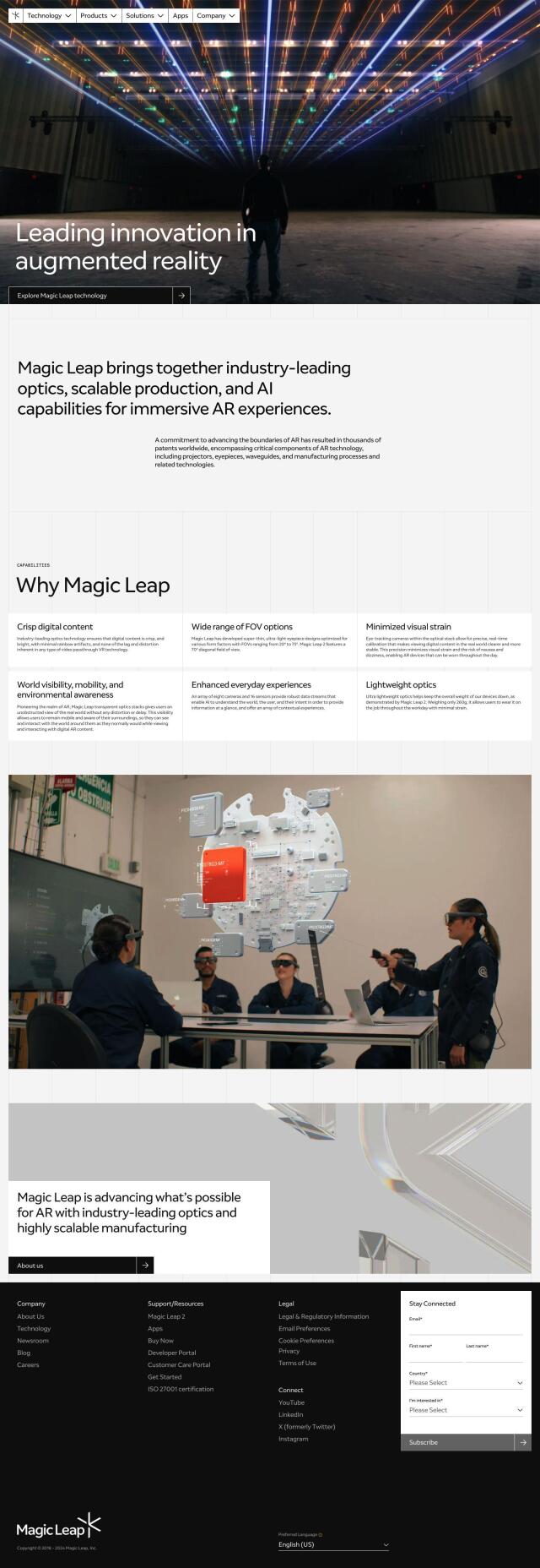
Magic Leap screenshot thumbnail

Magic Leap

Experience immersive AR with crisp digital imagery, broad field of view, and reduced visual burden.

CARTO screenshot thumbnail

CARTO

Analyze and visualize spatial data at any scale with native cloud integration, intuitive drag-and-drop interface, and built-in GenAI capabilities.

Blippar screenshot thumbnail

Blippar

Create custom AR experiences without coding, using intuitive tools, 3D models, and tracking technology, with real-time feedback and iteration capabilities.

DroneDeploy screenshot thumbnail

DroneDeploy

Combines data from multiple sources, including drones and cameras, into one platform, automating capture and extracting insights with AI for informed decision-making.

MapmyIndia screenshot thumbnail

MapmyIndia

Seamlessly navigate and optimize last-mile operations with integrated navigation, route planning, and location intelligence solutions powered by India's best maps.

Geoapify screenshot thumbnail

Geoapify

Build location-based apps with ease using a suite of APIs for mapping, geocoding, route optimization, and spatial analytics, with flexible pricing and no data restrictions.

Hexagon screenshot thumbnail

Hexagon

Combines sensor, software, and autonomous technologies to increase efficiency, reduce waste, and improve sustainability across industries through data-driven digital reality solutions.

PIX4D screenshot thumbnail

PIX4D

Converts images into accurate maps and 3D models for analysis, inspections, and measurements, with survey-grade accuracy and georeferencing.

Google Maps Platform screenshot thumbnail

Google Maps Platform

Unlock location-based insights and enhance user experiences with customizable, real-time maps, routes, and geospatial data for informed decision-making.

Radar screenshot thumbnail

Radar

Radar combines geofencing, geocoding, and mapping for accurate, cost-effective location-based experiences.

Snap AR screenshot thumbnail

Snap AR

Build and publish augmented reality experiences for various use cases, with tools for designers and developers to create and analyze AR effects.

Polycam screenshot thumbnail

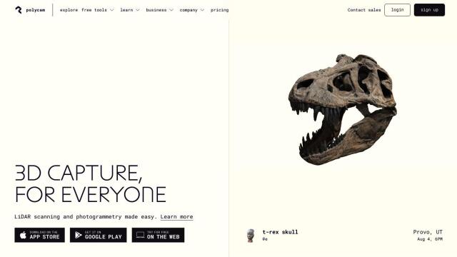
Polycam

Capture and create accurate 3D models with LiDAR scanning, photogrammetry, and 360-degree photos, and share them across platforms with ease.

Hololink screenshot thumbnail

Hololink

Create engaging and immersive AR experiences with a drag-and-drop editor, empowering increased customer engagement and conversion rates across the customer journey.

Rapid Editor screenshot thumbnail

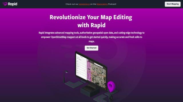
Rapid Editor

Automates map creation and updates using machine learning and satellite imagery, reducing manual effort and increasing accuracy.

Ultraleap screenshot thumbnail

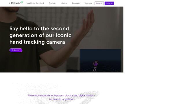
Ultraleap

Enables intuitive, controller-free interaction with virtual content using advanced hand tracking and haptic technology, mimicking natural human movement.

Avataar screenshot thumbnail

Avataar

Create immersive 3D stories and videos with a fluid blend of digital and real-world elements, leveraging AI for easy model generation and cost savings.

Stage Meta screenshot thumbnail

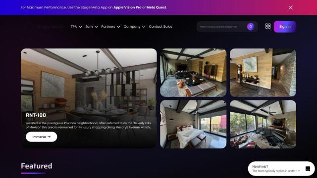
Stage Meta

Create immersive 3D worlds from text prompts or photos with AI-powered Mesh technology, and engage customers in new ways with interactive 360-degree tours.

Scope AR screenshot thumbnail

Scope AR

Unify product lifecycle management with a single platform, enabling no-code content creation, real-time collaboration, and data-driven insights to boost productivity.