NeighborWho
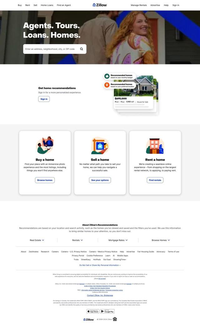
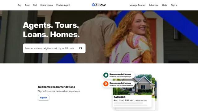
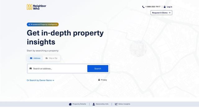
If you're looking for a LightBox alternative, NeighborWho is another good option. The property intelligence platform aggregates data from a variety of sources to provide a comprehensive view of on and off-market properties in the US. It has a large database of millions of residential property records, including valuations, ownership information, sales history, asset information, and deed data. Professionals can search the database by name or address, create lists, export PDF reports, track properties automatically, and even use a Chrome extension to see property details on Zillow listings.


Esri
Another good option is Esri, which makes GIS mapping software and spatial analytics tools. It offers location intelligence and competitive advantage by combining location analytics with machine learning. Esri has tools like 3D visualization, GIS mapping, spatial analysis and data science, and is used in many industries, including retail site selection, asset management, supply chain optimization and infrastructure planning. It offers a 21-day free trial and a variety of deployment options, including cloud infrastructure and on-premise solutions.


Nearmap
If you need high-resolution imagery and geospatial tools, Nearmap has a location intelligence platform that can help. It offers current aerial imagery, 3D modeling, AI-generated datasets for property attributes, and near-infrared imagery for environmental monitoring. Nearmap is good for insurance, real estate and government customers who want to lower risk, improve operations and satisfy customers.


CARTO
Last, CARTO has a cloud-native location intelligence platform that lets you analyze and visualize spatial data at large scale. It can be used in conjunction with native analysis and visualization tools on major cloud computing platforms. It's got an intuitive drag-and-drop interface, 100+ pre-built analysis components and rich data visualization. CARTO also supports large-scale app development and has access to more than 12,000 geospatial datasets through the Data Observatory, so it's good for companies that want to use spatial analytics to drive business insights and decision-making.

