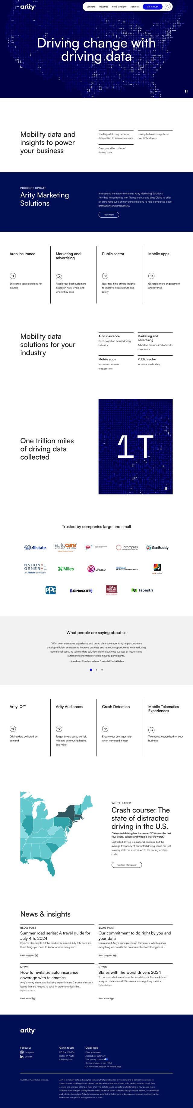
INRIX Alternatives

Harnesses 50 petabytes of transportation data to provide real-time traffic insights, crash alerts, and parking analytics, optimizing urban mobility and road safety.
Arity screenshot thumbnail

Arity

If you're looking for a different INRIX alternative, Arity is worth a look. Arity offers mobility data and analytics tools to make transportation safer and smarter. With more than a trillion miles of driving data, Arity can help you understand actual driving behavior, detect crashes, and target marketing campaigns. The platform is geared for the auto insurance, marketing and public sectors, helping businesses and governments boost revenue and efficiency.

Nearmap screenshot thumbnail

Nearmap

Another good option is Nearmap, which offers a location intelligence platform with abundant high-resolution imagery, 3D modeling and AI predictions. It's got tools for urban planning, environmental monitoring, infrastructure development and emergency response. With its suite of geospatial tools, Nearmap can help businesses, communities and governments make more informed decisions, lower risk and improve operations.

Mapbox screenshot thumbnail

Mapbox

If you need more advanced mapping and navigation abilities, take a look at Mapbox. This platform offers customizable maps, advanced routing and rich geospatial data through APIs and SDKs. It can handle real-time traffic updates, precise location search and the integration of your own data, making it a good fit for connected navigation, data analysis and smart location features.

More Alternatives to INRIX

Esri screenshot thumbnail

Esri

Uncover hidden patterns and drive predictive modeling with spatial analytics and machine learning, combining location-based data for innovative insights.

CARTO screenshot thumbnail

CARTO

Analyze and visualize spatial data at any scale with native cloud integration, intuitive drag-and-drop interface, and built-in GenAI capabilities.

Omnitracs screenshot thumbnail

Omnitracs

Combines fleet management expertise with AI and machine learning to provide actionable insights, optimize business performance, and improve driver satisfaction and safety.

MapmyIndia screenshot thumbnail

MapmyIndia

Seamlessly navigate and optimize last-mile operations with integrated navigation, route planning, and location intelligence solutions powered by India's best maps.

Samsara screenshot thumbnail

Samsara

Samsara's fleet operations platform connects cameras, sensors, and workflows for faster, more confident decisions.

Spatial.ai screenshot thumbnail

Spatial.ai

Unlock deeper customer insights with behavioral segmentation tools, profiling social, mobile, and web behavior to inform targeted marketing and location strategies.

Sentiance screenshot thumbnail

Sentiance

Provides real-time driving insights, crash detection, and mobility analysis to improve road safety, reduce risks, and promote sustainable transportation.

Intrado screenshot thumbnail

Intrado

Enhance emergency response with AI-powered PSAP solutions, improving team performance and decision-making for faster, more accurate connections between callers and responders.

Urbantz screenshot thumbnail

Urbantz

Optimizes last mile logistics with AI-driven route planning, real-time delivery slots, and multi-carrier management to increase successful deliveries and customer satisfaction.

Radar screenshot thumbnail

Radar

Radar combines geofencing, geocoding, and mapping for accurate, cost-effective location-based experiences.

Placekey screenshot thumbnail

Placekey

Assigns a unique identifier to any physical location, standardizing address information for easy data sharing and integration across organizations.

Unearth Insights screenshot thumbnail

Unearth Insights

Access a unified suite of location data and analytics tools, powered by an AI co-pilot, to uncover insights and drive business decisions faster.

Lytx screenshot thumbnail

Lytx

Unifies fleet management with AI-powered video safety, telematics, and compliance solutions to improve driver behavior, reduce costs, and enhance operational efficiency.

BestTime screenshot thumbnail

BestTime

Provides real-time retail foot traffic data, forecasts, and live activity insights for locations worldwide, enabling informed decisions on visitation and operations.

PTV Group screenshot thumbnail

PTV Group

Analyze and optimize traffic infrastructure with data, AI, and machine learning to identify problems and potential improvements.

Google Maps Platform screenshot thumbnail

Google Maps Platform

Unlock location-based insights and enhance user experiences with customizable, real-time maps, routes, and geospatial data for informed decision-making.

Cambridge Mobile Telematics screenshot thumbnail

Cambridge Mobile Telematics

Analyzes hundreds of billions of miles of driving data to provide a complete picture of vehicle and driver behavior, promoting safer driving and lower insurance rates.

data.ai screenshot thumbnail

data.ai

Combines data from multiple signals to provide unified insights, enabling fast and confident decision-making across the entire app lifecycle.

Tableau screenshot thumbnail

Tableau

Connect to any data source, create visualizations, and share insights with an intuitive, AI-infused analytics platform that drives better decision-making.

Geoapify screenshot thumbnail

Geoapify

Build location-based apps with ease using a suite of APIs for mapping, geocoding, route optimization, and spatial analytics, with flexible pricing and no data restrictions.

Sygic GPS Navigation screenshot thumbnail

Sygic GPS Navigation

Revolutionize your travel with Sygic's augmented reality GPS navigation and advanced safety features.