Question: Can you recommend a software solution for traffic planning and simulation that helps cities create more efficient transportation systems?
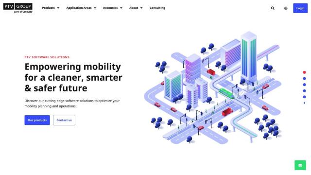
PTV Group screenshot thumbnail

PTV Group

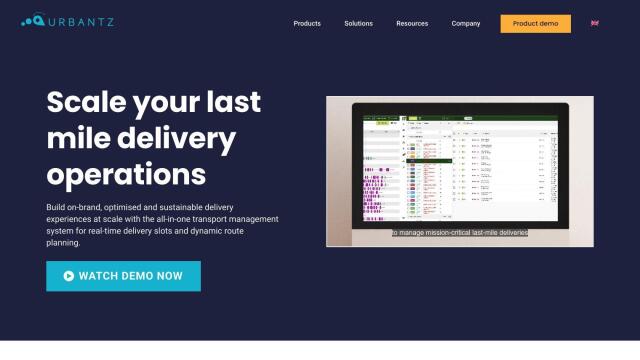
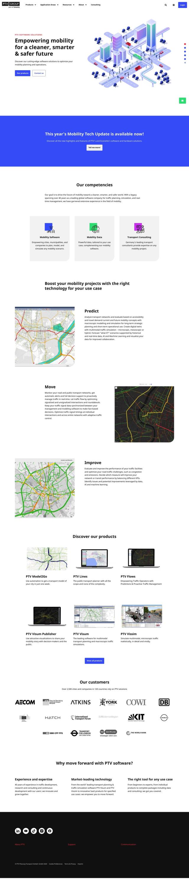
For more advanced traffic planning and simulation, the PTV Group is a good option. The global software company offers mobility solutions for planning, simulation and real-time management. Its product range includes PTV Model2Go for automated transport models, PTV Lines for public transport planning and PTV Vissim for detailed microscopic traffic simulation. With more than 2,500 cities and companies using its solutions, PTV Group offers market leading technology to ensure the right tool is available for any mobility project.

INRIX screenshot thumbnail

INRIX

INRIX also offers a comprehensive suite of solutions to improve urban mobility. With 50 petabytes of rich transportation data and generative AI technology, INRIX offers real-time traffic data, crash data, safety alerts and more. Its products like INRIX IQ and INRIX Trip Trends help cities understand traffic patterns and trip behavior, ultimately leading to improved traffic flow and decision making.

Esri screenshot thumbnail

Esri

Another platform worth considering is Esri, which combines GIS mapping and spatial analytics to offer location intelligence and competitive advantages. Esri's tools can be used for infrastructure planning and real-time decision making, and its platform can be run on cloud infrastructure or on-premise. This makes it a flexible option for cities looking to modernize and optimize their transportation systems.

Mapbox screenshot thumbnail

Mapbox

For location intelligence and geospatial data, Mapbox offers customizable maps and advanced navigation capabilities. Its platform offers real-time traffic updates, advanced routing and precise location search, which can help optimize traffic flow and travel times. With APIs and SDKs for easy integration and extensive developer resources, Mapbox supports a range of applications, including connected navigation and smart location features.

Additional AI Projects

MapmyIndia screenshot thumbnail

MapmyIndia

Seamlessly navigate and optimize last-mile operations with integrated navigation, route planning, and location intelligence solutions powered by India's best maps.

Nearmap screenshot thumbnail

Nearmap

Transforms high-resolution aerial imagery into actionable insights with AI predictions, 3D modeling, and geospatial tools for informed business decisions.

Arity screenshot thumbnail

Arity

Analyzes trillions of miles of driving data to provide actionable insights for insurers, marketers, and communities, enabling personalized services and targeted solutions.

CARTO screenshot thumbnail

CARTO

Analyze and visualize spatial data at any scale with native cloud integration, intuitive drag-and-drop interface, and built-in GenAI capabilities.

Omnitracs screenshot thumbnail

Omnitracs

Combines fleet management expertise with AI and machine learning to provide actionable insights, optimize business performance, and improve driver satisfaction and safety.

Geotab screenshot thumbnail

Geotab

Leverage AI-driven insights and recommendations to optimize fleet operations, improve safety, and reduce emissions, while automating compliance and increasing productivity.

Samsara screenshot thumbnail

Samsara

Samsara's fleet operations platform connects cameras, sensors, and workflows for faster, more confident decisions.

Hexagon screenshot thumbnail

Hexagon

Combines sensor, software, and autonomous technologies to increase efficiency, reduce waste, and improve sustainability across industries through data-driven digital reality solutions.

Mojio screenshot thumbnail

Mojio

Unlocks the full potential of car data monetization, providing actionable insights and services for a smarter, safer, and more convenient car ownership experience.

Sentiance screenshot thumbnail

Sentiance

Provides real-time driving insights, crash detection, and mobility analysis to improve road safety, reduce risks, and promote sustainable transportation.

Radar screenshot thumbnail

Radar

Radar combines geofencing, geocoding, and mapping for accurate, cost-effective location-based experiences.

Cambridge Mobile Telematics screenshot thumbnail

Cambridge Mobile Telematics

Analyzes hundreds of billions of miles of driving data to provide a complete picture of vehicle and driver behavior, promoting safer driving and lower insurance rates.

Lytx screenshot thumbnail

Lytx

Unifies fleet management with AI-powered video safety, telematics, and compliance solutions to improve driver behavior, reduce costs, and enhance operational efficiency.

Intrado screenshot thumbnail

Intrado

Enhance emergency response with AI-powered PSAP solutions, improving team performance and decision-making for faster, more accurate connections between callers and responders.

Routora screenshot thumbnail

Routora

Reorders stops for the most efficient route, minimizing backtracking and saving time and fuel, with easy upload and download of optimized routes.

Urbantz screenshot thumbnail

Urbantz

Optimizes last mile logistics with AI-driven route planning, real-time delivery slots, and multi-carrier management to increase successful deliveries and customer satisfaction.

BestTime screenshot thumbnail

BestTime

Provides real-time retail foot traffic data, forecasts, and live activity insights for locations worldwide, enabling informed decisions on visitation and operations.

Polymath Robotics screenshot thumbnail

Polymath Robotics

Simplifies autonomous navigation for industrial off-highway vehicles, enabling easy automation without extensive robotics expertise.

Placekey screenshot thumbnail

Placekey

Assigns a unique identifier to any physical location, standardizing address information for easy data sharing and integration across organizations.

PTC screenshot thumbnail

PTC

PTC's software combines AR, CAD, IIoT, and PLM to accelerate digital transformation and efficiency.