Question: I'm looking for a remote drone operation platform that allows me to pilot from anywhere, do you know of any solutions?

Skydio
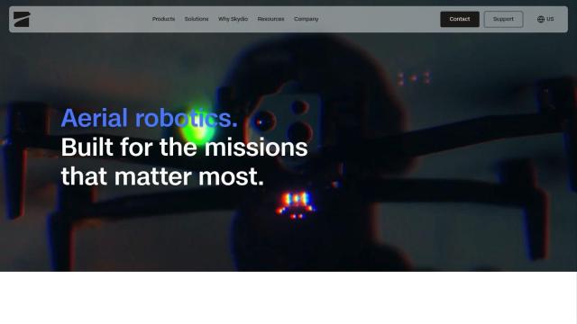
If you're looking for a platform to operate a drone remotely, Skydio has a good package. Its drones can fly autonomously, but pilots can control them over a browser interface, so pilots can work from anywhere. With AI and high-resolution imagery, Skydio's drones can gather detailed information even in difficult conditions. And it's got a lot of support services, including training programs and regulatory help, so it's not a black box for people who don't know how to pilot.

DroneDeploy
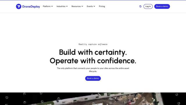
Another strong contender is DroneDeploy, reality capture software that combines drone mapping and photo documentation across an asset's life cycle. The service automates data capture and offers smart insights through AI-based data extraction. It's popular in construction, oil and gas and renewable energy, where customers can monitor progress and spot trouble spots more easily. DroneDeploy is enterprise-focused, with strong security and compliance.
PIX4D
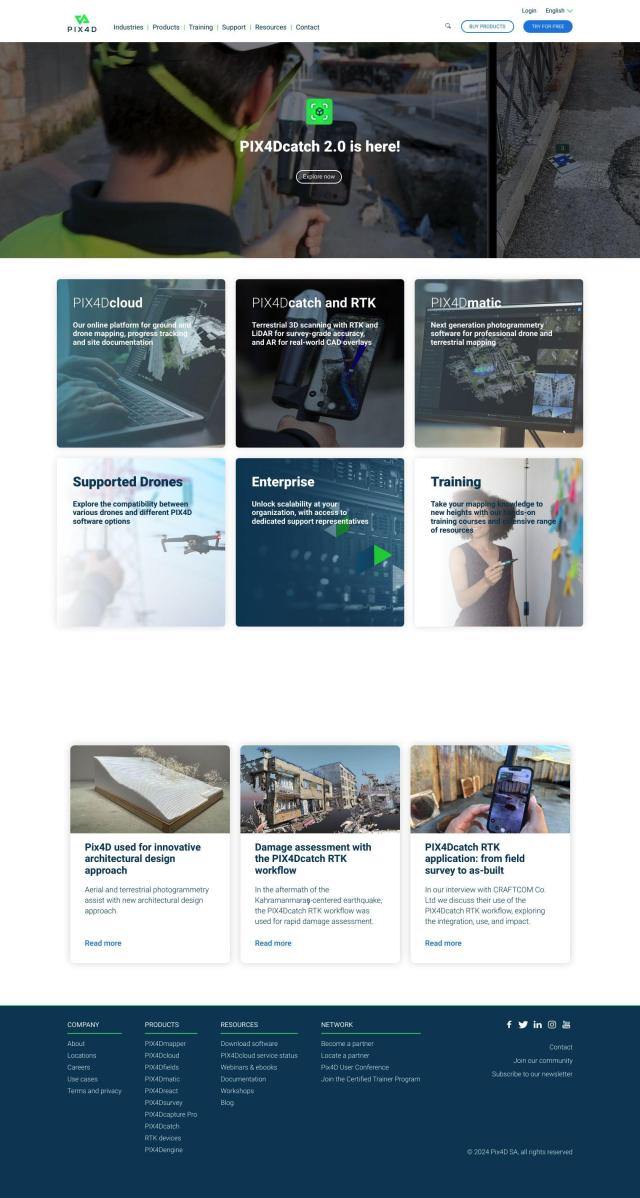
If you need photogrammetry software, PIX4D has a range of tools to capture, process and analyze drone and camera imagery. It can create accurate maps and 3D models, with flexible processing and collaboration tools. PIX4D is for professionals, like surveyors, architects and engineers, and has a lot of training and support.

