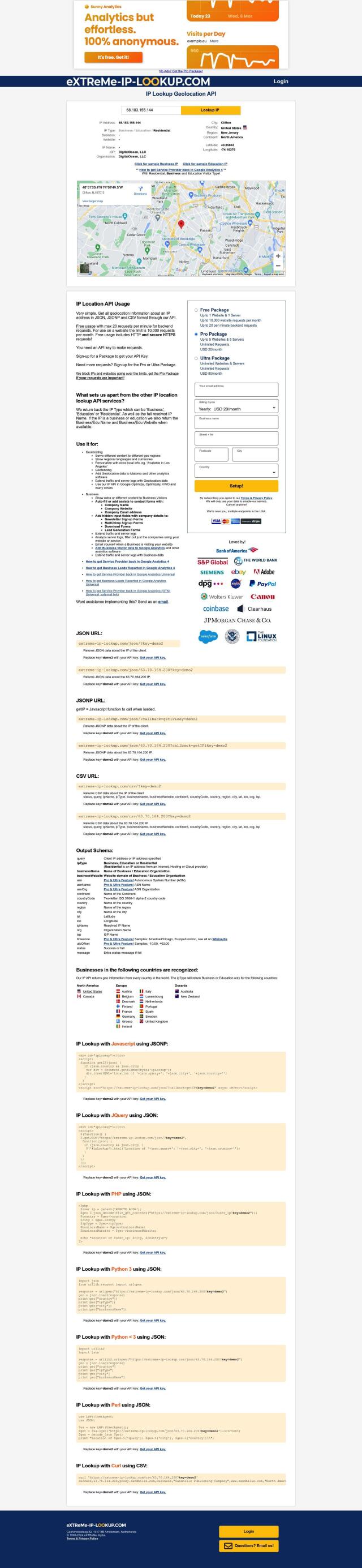
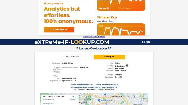
Question: Can you recommend a geocoding service that can convert addresses to latitude and longitude coordinates quickly and accurately?
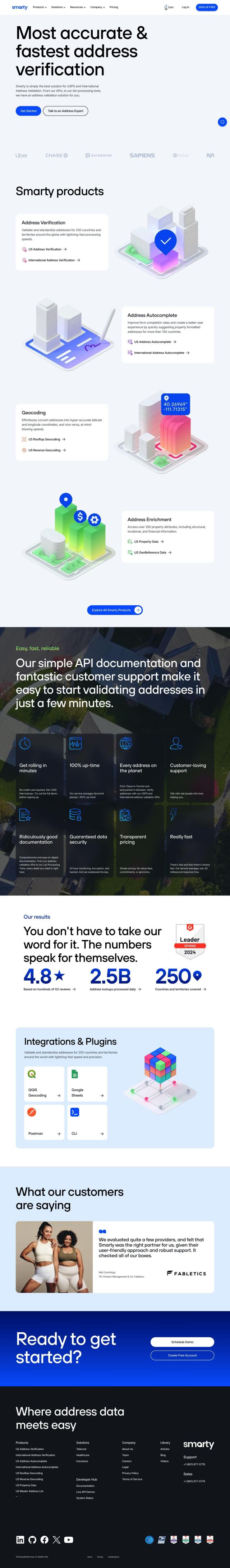
Smarty screenshot thumbnail

Smarty

If you need a geocoding service you can rely on, Smarty is a good choice. It can process US and international addresses for 250 countries and territories, and the system offers geocoding, address verification and address autocomplete. It's geared for businesses like telecommunications, health care and insurance. A free trial and a $65 per month professional plan make Smarty's full-featured API and good customer support a good option.
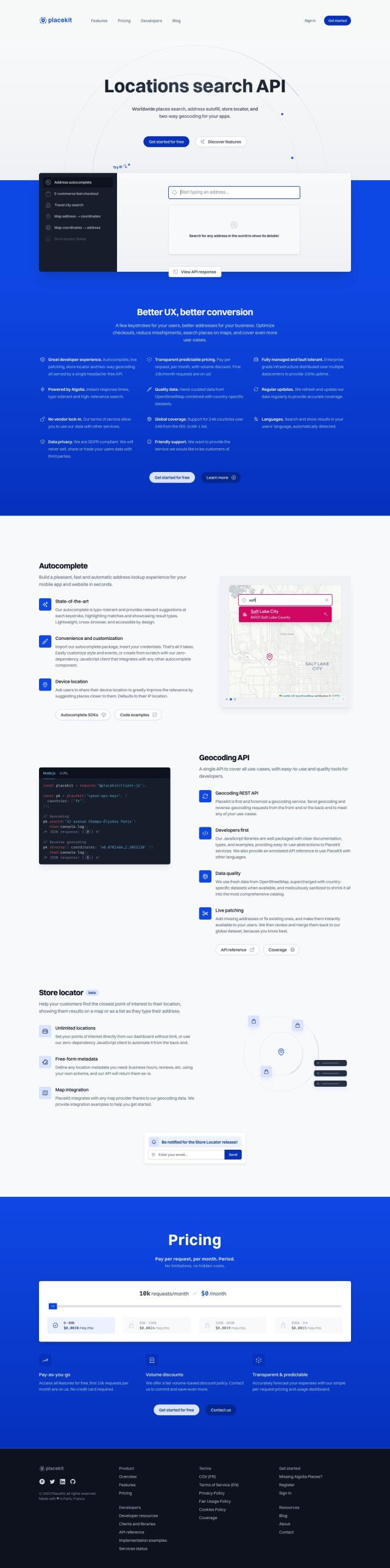
PlaceKit screenshot thumbnail

PlaceKit

Another good option is PlaceKit, a geocoding API and autocomplete service designed to help you build user interfaces and manage addresses. PlaceKit covers 246 countries and multiple languages, so it's good for global businesses. It's got customizable autocomplete, live patching to update addresses, and map integration, too. It's a good alternative to Google Places and Mapbox.

Radar screenshot thumbnail

Radar

If you need a more powerful location platform, Radar offers geofencing, geocoding and mapping with a big priority on accuracy and privacy. Radar's pricing is tiered, with a free plan and more expensive options that let you scale up just the parts of the service you need. It's integrated with tools like Segment, Amplitude and Braze, and it's designed to meet enterprise-level privacy and security requirements.
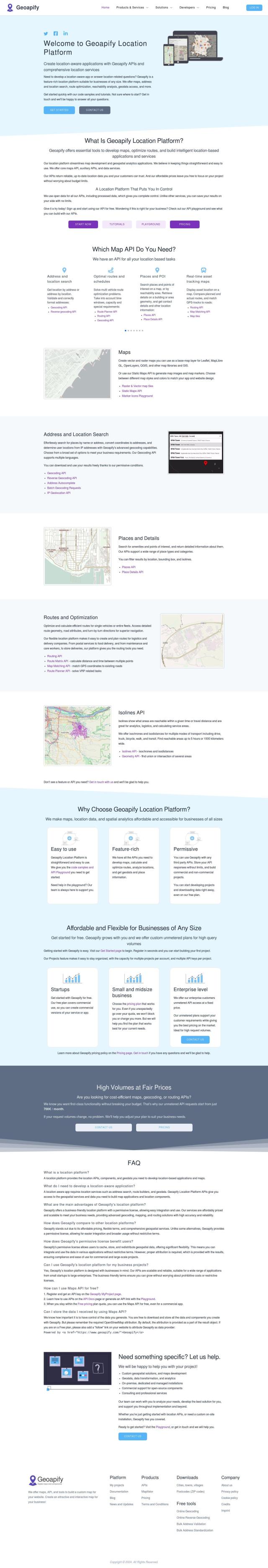
Geoapify screenshot thumbnail

Geoapify

Last, Geoapify offers a full-on location platform with APIs for mapping, geocoding, routing and spatial analysis. It's got more advanced tools for building interactive maps, finding addresses and routing. Pricing is flexible and competitive, including a free plan with 3,000 credits per day. Geoapify is good for building location-based apps and services.

Additional AI Projects

Loqate screenshot thumbnail

Loqate

Enhance address data quality and user experience with fast and accurate capture, verification, and geocoding technology for 249 countries and territories.

Placekey screenshot thumbnail

Placekey

Assigns a unique identifier to any physical location, standardizing address information for easy data sharing and integration across organizations.

Mapbox screenshot thumbnail

Mapbox

Create customizable, interactive maps with live-updating data and advanced navigation features for web, mobile, automotive, and AR applications.

Esri screenshot thumbnail

Esri

Uncover hidden patterns and drive predictive modeling with spatial analytics and machine learning, combining location-based data for innovative insights.

CARTO screenshot thumbnail

CARTO

Analyze and visualize spatial data at any scale with native cloud integration, intuitive drag-and-drop interface, and built-in GenAI capabilities.

MapmyIndia screenshot thumbnail

MapmyIndia

Seamlessly navigate and optimize last-mile operations with integrated navigation, route planning, and location intelligence solutions powered by India's best maps.

IP-API screenshot thumbnail

IP-API

Unlock global customer insights with accurate IP-based geolocation data, including country, region, city, latitude, and longitude, for targeted marketing and security.

Nearmap screenshot thumbnail

Nearmap

Transforms high-resolution aerial imagery into actionable insights with AI predictions, 3D modeling, and geospatial tools for informed business decisions.

IP Lookup Geolocation API screenshot thumbnail

IP Lookup Geolocation API

Retrieve detailed geolocation information for an IP address, including type, business details, and location data, to personalize user experiences and serve targeted content.

Unearth Insights screenshot thumbnail

Unearth Insights

Access a unified suite of location data and analytics tools, powered by an AI co-pilot, to uncover insights and drive business decisions faster.

Rapid Editor screenshot thumbnail

Rapid Editor

Automates map creation and updates using machine learning and satellite imagery, reducing manual effort and increasing accuracy.

CarbonReach screenshot thumbnail

CarbonReach

Combines device, location, network, and behavior data to predict future risks, providing a comprehensive view of network activity for targeted security action.

MaxMind screenshot thumbnail

MaxMind

Provides real-time risk scoring, accurate IP geolocation, and proxy detection to personalize user experiences, manage cybersecurity risk, and prevent online fraud.

Ipregistry screenshot thumbnail

Ipregistry

Unlock precise user location and threat data with authoritative IP address insights, enabling informed business decisions and fraud protection.

ipdata screenshot thumbnail

ipdata

Accurately locate IP addresses, detect threats, and prevent fraud with geolocation data, threat intelligence feeds, and machine learning-generated reputation scores.

Spatial.ai screenshot thumbnail

Spatial.ai

Unlock deeper customer insights with behavioral segmentation tools, profiling social, mobile, and web behavior to inform targeted marketing and location strategies.

Flybuy screenshot thumbnail

Flybuy

Provides accurate location intelligence, going beyond traditional geofence technology, to improve guest experience and streamline operations for various industries.

Bluedot screenshot thumbnail

Bluedot

Empowers apps to send targeted messages and automate tasks with 20x accurate location detection, down to five meters, for seamless customer experiences.

Geotab screenshot thumbnail

Geotab

Leverage AI-driven insights and recommendations to optimize fleet operations, improve safety, and reduce emissions, while automating compliance and increasing productivity.

Perplexity screenshot thumbnail

Perplexity

Delivers trustworthy, real-time answers to any query, with customizable AI models, file upload, and image generation capabilities for fast and convenient information retrieval.