Question: Is there a software that uses photogrammetry to create precise 3D models for urban planning and surveying?
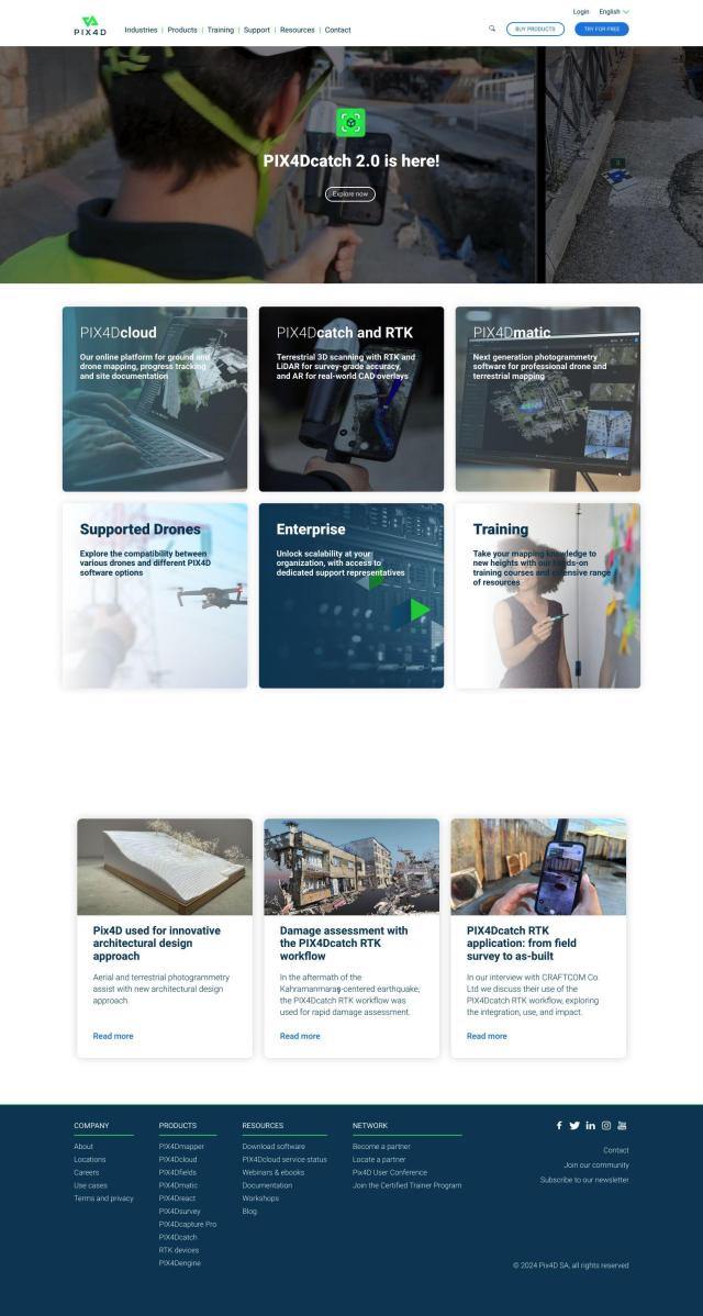
PIX4D screenshot thumbnail

PIX4D

PIX4D is a full-featured photogrammetry software suite that captures, processes and analyzes drone and camera imagery to generate maps and 3D models. Products are available for specific industries like surveying and construction, and it offers flexible processing options, collaboration tools and a 15-day free trial. That makes it a good option for pros and companies that need accurate 3D models for urban planning and surveying.

RealityCapture screenshot thumbnail

RealityCapture

Another option is RealityCapture. The software automatically generates textured 3D meshes, orthographic projections and other output from photos and laser scans. It's a good option for detailed 3D models of historic sites, landmarks and buildings, and photorealistic environments for movies, games and other purposes. RealityCapture has flexible pricing, including a free version, so it's good for pros and enthusiasts.
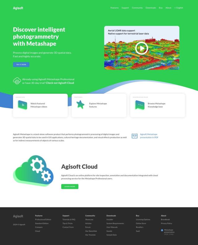
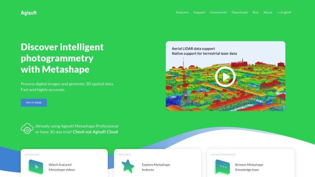
Agisoft Metashape screenshot thumbnail

Agisoft Metashape

If you want more advanced features, Agisoft Metashape has more advanced photogrammetric processing abilities. It can generate 3D spatial data from digital images, and it can handle a variety of image sources, including aerial and satellite imagery. It's good for GIS, cultural heritage and surveying, with features like dense point cloud generation and georeferenced orthomosaics. It also has pro-level abilities like 4D modeling and hierarchical tiled model generation.
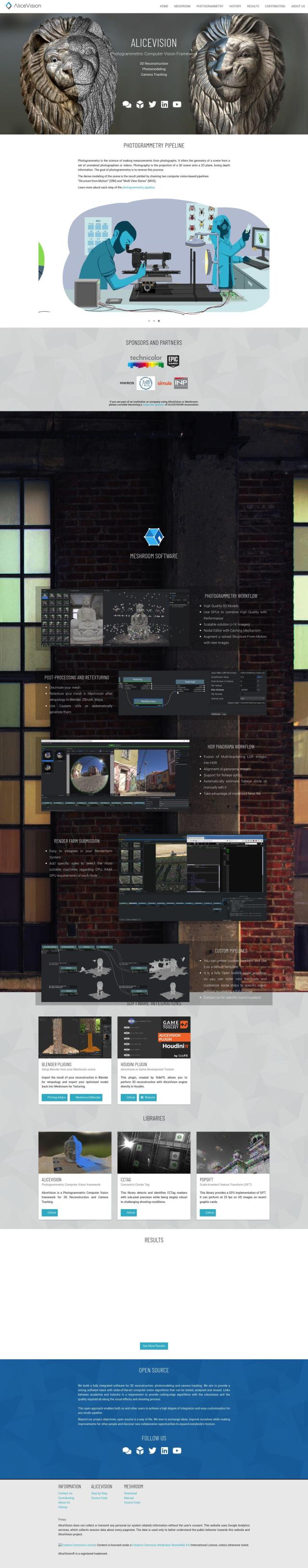
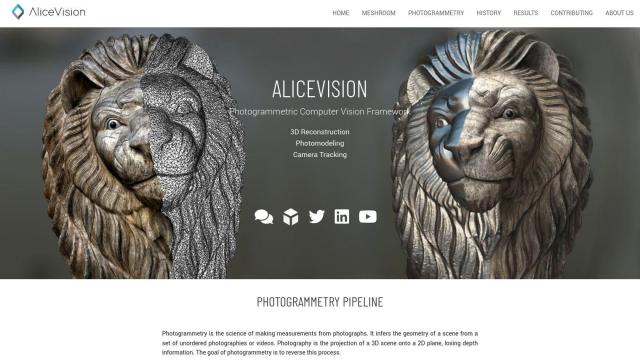
AliceVision screenshot thumbnail

AliceVision

Last, AliceVision is a photogrammetric computer vision framework that reconstructs 3D scenes and tracks cameras from overlapping 2D images. That's good for building accurate, detailed 3D models from photos or video frames, which can be useful for urban planning, surveying and other uses.

Additional AI Projects

Matterport screenshot thumbnail

Matterport

Capture and collaborate on 3D digital twins of real-world sites, leveraging AI-driven analytics and immersive virtual experiences for improved project outcomes.

Nearmap screenshot thumbnail

Nearmap

Transforms high-resolution aerial imagery into actionable insights with AI predictions, 3D modeling, and geospatial tools for informed business decisions.

Polycam screenshot thumbnail

Polycam

Capture and create accurate 3D models with LiDAR scanning, photogrammetry, and 360-degree photos, and share them across platforms with ease.

CupixWorks screenshot thumbnail

CupixWorks

Automatically transforms 360-degree capture videos into as-built 3D spatial context for construction projects and facility management, improving project efficiency and accuracy.

Esri screenshot thumbnail

Esri

Uncover hidden patterns and drive predictive modeling with spatial analytics and machine learning, combining location-based data for innovative insights.

FlyPix screenshot thumbnail

FlyPix

Detect, localize, track, and monitor objects across industries with advanced AI models, generating actionable, geo-referenced insights from complex imagery.

Mappedin screenshot thumbnail

Mappedin

Create interactive 3D indoor maps with AI-assisted tools, automated navigation, and content enrichment, and share them across various devices and formats.

3DFY.ai screenshot thumbnail

3DFY.ai

Generate high-quality 3D models from text prompts or single images, rapidly creating engaging 3D assets at scale with unprecedented efficiency.

3Dpresso screenshot thumbnail

3Dpresso

Convert 1-minute videos into 3D models with AI assistance, and customize textures using generative AI-powered text prompts.

3D AI Studio screenshot thumbnail

3D AI Studio

Convert text or images into high-quality 3D assets in seconds, saving time and money with automated modeling, texturing, and exporting capabilities.

Depthify.ai screenshot thumbnail

Depthify.ai

Convert 2D photos and videos into 3D spatial content with AI-powered depth, stereo, and spatial encoding for immersive experiences on Apple Vision Pro and Meta Quest.

PTV Group screenshot thumbnail

PTV Group

Analyze and optimize traffic infrastructure with data, AI, and machine learning to identify problems and potential improvements.

Flatify screenshot thumbnail

Flatify

Converts 2D object photos into accurate CAD files using a top-down view generator, eliminating the need for special equipment or separate CAD programs.

Giraffe360 screenshot thumbnail

Giraffe360

Capture and edit property listings efficiently with automated editing, virtual tours, and precise floor plans generated from high-tech camera scans and AI-assisted processing.

Oqton screenshot thumbnail

Oqton

Streamlines manufacturing operations with AI-driven workflow automation, end-to-end traceability, and industry-specific solutions to boost productivity and quality control.

Bezi screenshot thumbnail

Bezi

Accelerate 3D design and prototyping with collaborative, real-time tools and generative AI, accessible to users without deep 3D skills.

CARTO screenshot thumbnail

CARTO

Analyze and visualize spatial data at any scale with native cloud integration, intuitive drag-and-drop interface, and built-in GenAI capabilities.

Finch screenshot thumbnail

Finch

Rapidly explore and optimize building designs with instant performance feedback, error prevention, and seamless integration with popular design tools.

Avataar screenshot thumbnail

Avataar

Create immersive 3D stories and videos with a fluid blend of digital and real-world elements, leveraging AI for easy model generation and cost savings.

Visoid screenshot thumbnail

Visoid

Creates high-quality 3D images in minutes, allowing architects to experiment with different materials, lighting, and seasons in a single, intuitive tool.