Question: Need a tool that integrates data from multiple sources, including drones and cameras, for a unified view of our assets.

DroneDeploy
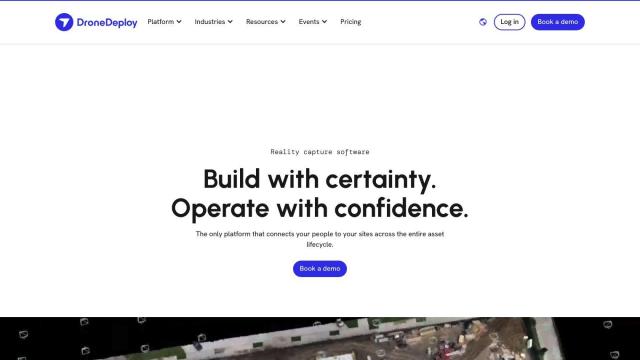
If you're looking for a service that can tie together data from multiple sources, including drones and cameras, DroneDeploy is a good option. This reality capture software handles drone mapping and photo documentation across the entire asset lifecycle. It can gather data from sources including drones, robots, 360 cameras and smartphones and offer smart insights through AI-based data extraction. It's popular in construction, oil and gas and renewable energy, where customers can use it to monitor progress, spot issues and cut rework.


AI Clearing
Another option is AI Clearing, which offers a digital field construction progress tracking platform. It uses machine learning to create detailed 3D site reports and combines drone and other digital data sources for advanced 4D geospatial analytics. The platform can help speed up reporting cycles and offer new insights through interactive online dashboards and PDF reports. AI Clearing is designed to help construction projects like solar farms, road construction and marine construction with a single process for documenting and communicating project progress.
Airbyte
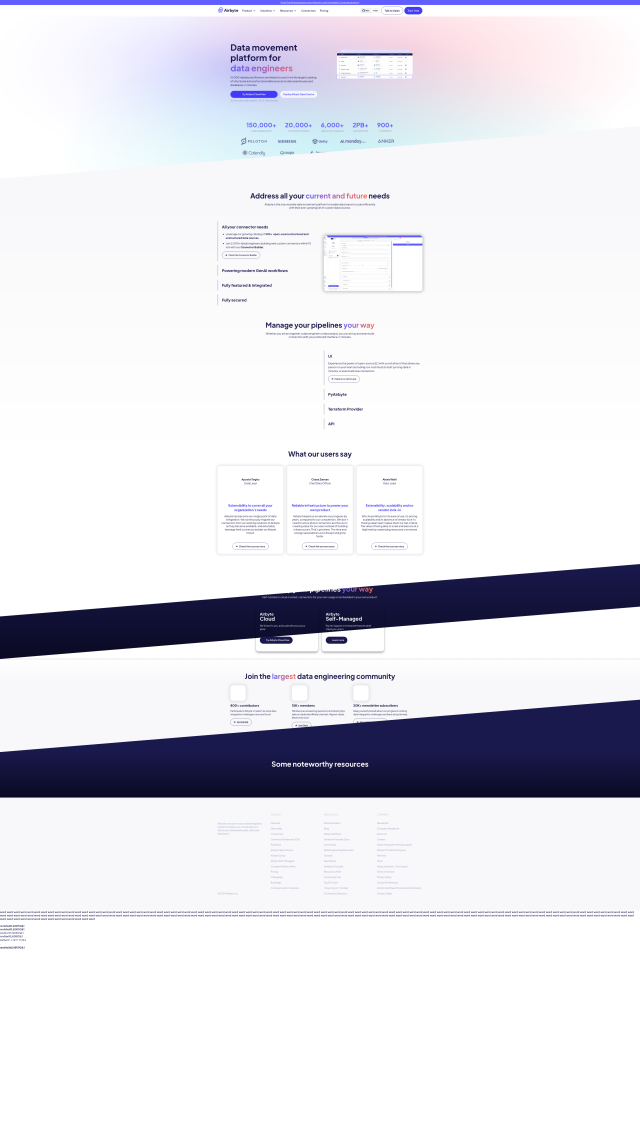
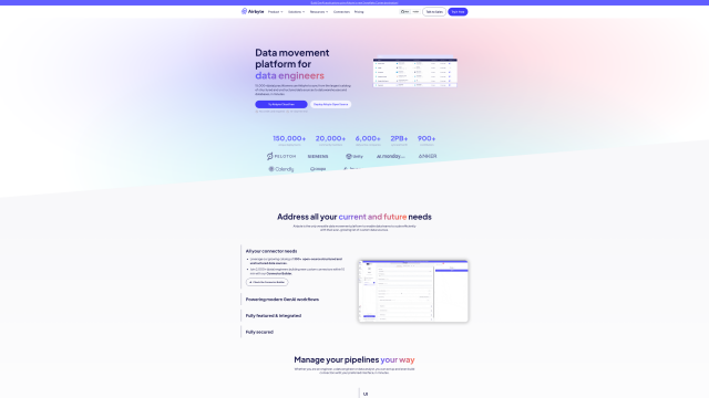
For a broader data integration need, Airbyte is an open-source platform that can efficiently move data from more than 300 structured and unstructured sources to multiple destinations. It's geared for data engineers, AI engineers and analytics teams, with features like custom connectors, automated schema evolution and strong security. The platform's flexible deployment options make it a good choice for companies of all sizes that need a broad data integration solution.

Peaka
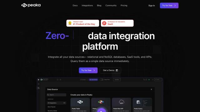
Last, Peaka offers a data integration platform that makes it easier to connect different data sources. It can handle relational and NoSQL databases, SaaS applications and APIs, letting you query them as a single unified source. Peaka's immediate replication with Change Data Capture and self-service integration means data integration is faster, lowering operational costs and improving decision-making abilities.

