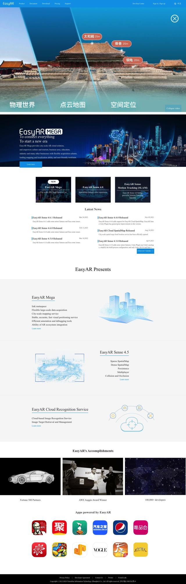
Question: Is there a mapping technology that can handle both indoor and outdoor locations, and provide accurate positioning and navigation?
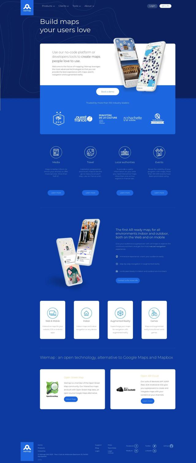
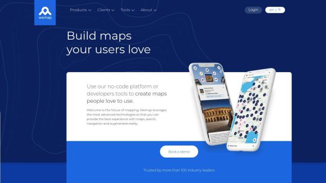
Wemap screenshot thumbnail

Wemap

If you're looking for a mapping technology that can handle both indoor and outdoor locations, providing accurate positioning and navigation, Wemap is an excellent choice. It offers a comprehensive suite of features, including augmented reality for immersive navigation, interactive maps for both web and mobile, and support for indoor and outdoor mapping. Wemap leverages computer vision and signal fusion algorithms for accurate positioning and offers extensive APIs and SDKs for easy integration, making it suitable for various industries.

Mapbox screenshot thumbnail

Mapbox

Another strong contender is Mapbox, which provides customizable maps with advanced navigation and location search capabilities. It supports global datasets for boundaries and traffic, and offers precise location search. Mapbox is highly customizable and integrates easily with custom data, making it a versatile tool for applications like connected navigation and smart location features. The platform also offers a free tier with volume discounts available for increased usage.
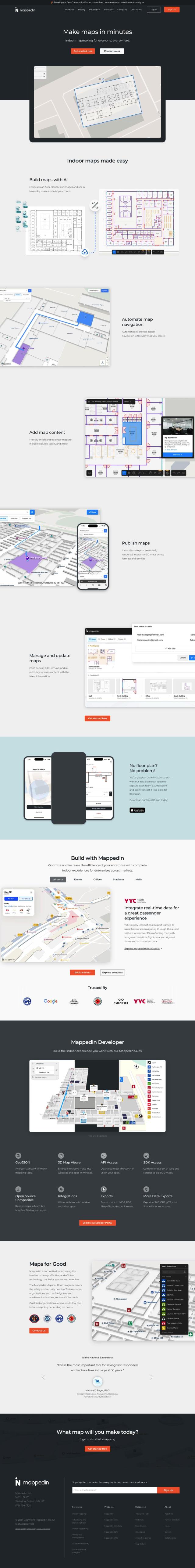
Mappedin screenshot thumbnail

Mappedin

For indoor mapping specifically, Mappedin offers AI-powered tools to create and manage interactive 3D maps. Its features include automated navigation, content enrichment, and robust developer tools. Mappedin supports various industries such as airports, events, and malls, and provides tiered pricing plans including a free option. This platform is particularly suited for those needing highly detailed and accurate indoor navigation solutions.

Radar screenshot thumbnail

Radar

Lastly, Radar provides a comprehensive location platform with a strong focus on accuracy and privacy. It offers hyper-accurate geofencing and trip tracking with live ETAs. Radar's robust mapping capabilities include geocoding and routing APIs, making it a reliable choice for applications that require precise location data. Its tiered pricing model and extensive integration options make it a flexible solution for various use cases.

Additional AI Projects

Google Maps Platform screenshot thumbnail

Google Maps Platform

Unlock location-based insights and enhance user experiences with customizable, real-time maps, routes, and geospatial data for informed decision-making.

Esri screenshot thumbnail

Esri

Uncover hidden patterns and drive predictive modeling with spatial analytics and machine learning, combining location-based data for innovative insights.

MapmyIndia screenshot thumbnail

MapmyIndia

Seamlessly navigate and optimize last-mile operations with integrated navigation, route planning, and location intelligence solutions powered by India's best maps.

Geoapify screenshot thumbnail

Geoapify

Build location-based apps with ease using a suite of APIs for mapping, geocoding, route optimization, and spatial analytics, with flexible pricing and no data restrictions.

Nearmap screenshot thumbnail

Nearmap

Transforms high-resolution aerial imagery into actionable insights with AI predictions, 3D modeling, and geospatial tools for informed business decisions.

CARTO screenshot thumbnail

CARTO

Analyze and visualize spatial data at any scale with native cloud integration, intuitive drag-and-drop interface, and built-in GenAI capabilities.

EasyAR screenshot thumbnail

EasyAR

Enables developers to build augmented reality experiences with features like spatial mapping, motion tracking, and image recognition, with flexible toolchains for rapid development.

Sygic GPS Navigation screenshot thumbnail

Sygic GPS Navigation

Revolutionize your travel with Sygic's augmented reality GPS navigation and advanced safety features.

PIX4D screenshot thumbnail

PIX4D

Converts images into accurate maps and 3D models for analysis, inspections, and measurements, with survey-grade accuracy and georeferencing.

Mist screenshot thumbnail

Mist

Transforms traditional wireless networks into predictable, reliable, and measurable experiences, providing real-time insights and automating tasks for improved IT productivity.

INRIX screenshot thumbnail

INRIX

Harnesses 50 petabytes of transportation data to provide real-time traffic insights, crash alerts, and parking analytics, optimizing urban mobility and road safety.

Rapid Editor screenshot thumbnail

Rapid Editor

Automates map creation and updates using machine learning and satellite imagery, reducing manual effort and increasing accuracy.

Placekey screenshot thumbnail

Placekey

Assigns a unique identifier to any physical location, standardizing address information for easy data sharing and integration across organizations.

PingPath screenshot thumbnail

PingPath

Navigates indoor spaces using spatial audio, LiDAR, and AI to identify and avoid objects, promoting independence and confidence for visually impaired individuals.

PTV Group screenshot thumbnail

PTV Group

Analyze and optimize traffic infrastructure with data, AI, and machine learning to identify problems and potential improvements.

Flybuy screenshot thumbnail

Flybuy

Provides accurate location intelligence, going beyond traditional geofence technology, to improve guest experience and streamline operations for various industries.

Movella screenshot thumbnail

Movella

Capture, digitize, and analyze motion with precision, enabling informed decisions and remarkable results across industries, from entertainment to health and automation.

PlaceKit screenshot thumbnail

PlaceKit

Fast, accurate, and global address search with autocomplete, geocoding, and store locator features for seamless user experiences and efficient address management.

Wikitude Augmented Reality screenshot thumbnail

Wikitude Augmented Reality

Build immersive AR experiences with image and object tracking, instant tracking, and geo AR, enabling interactive digital content in real-world environments.

MapsGPT screenshot thumbnail

MapsGPT

Instantly generate custom maps with pins for specific activities, trips, or atmospheres, and discover unique locations with a range of search options.