Question: Can you recommend a solution that integrates location intelligence and spatial data to streamline commercial real estate workflows?

LightBox
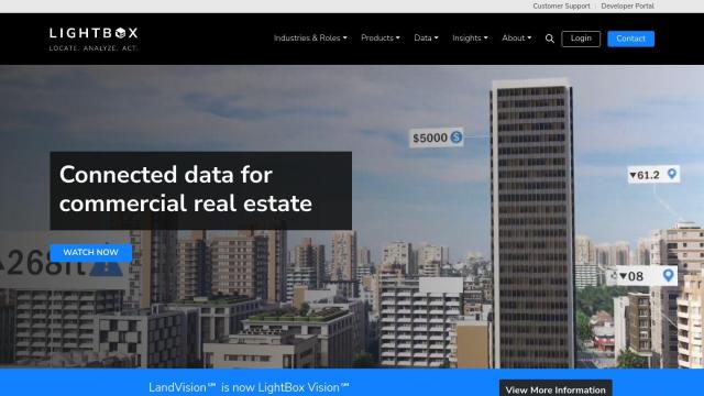
If you're looking for a product that combines location intelligence and spatial data to improve commercial real estate operations, LightBox is a full-featured platform that includes real estate data analytics, including building footprints, tax parcels, geospatial, zoning and environmental data. It includes tools like Locate for accessing property characteristics and spatial data, Analyze for location intelligence and streamlined workflows, and Act for making decisions. The platform helps commercial real estate professionals by consolidating and optimizing data sources to speed up marketing and improve listings.


Esri
Another good option is Esri, which offers GIS mapping software and spatial analytics tools. Its location intelligence tools, combined with machine learning, can give you an edge by letting you build predictive models and make decisions in real time. Esri is good for asset management, supply chain optimization and infrastructure planning, among other uses, so it's a good choice for commercial real estate professionals who want to tap into advanced spatial analysis.


CARTO
If you want a cloud-native option, CARTO is a good option. It lets you analyze and visualize spatial data at large scale without the hassle of ETLs or data duplication. With its drag-and-drop interface and more than 100 built-in analysis components, CARTO enables scalable app development and comes with access to more than 12,000 geospatial datasets. That makes it a good option for companies that want to use spatial analytics to drive business insights and decision-making.


Nearmap
Nearmap offers high-resolution imagery, 3D modeling and AI predictions to help businesses and governments make better decisions. Its tools include proprietary aerial imagery, 3D visualization and AI-generated datasets for property attributes. That makes it a good option for commercial real estate, insurance and government customers, helping them reduce risk, streamline operations and improve customer satisfaction.

